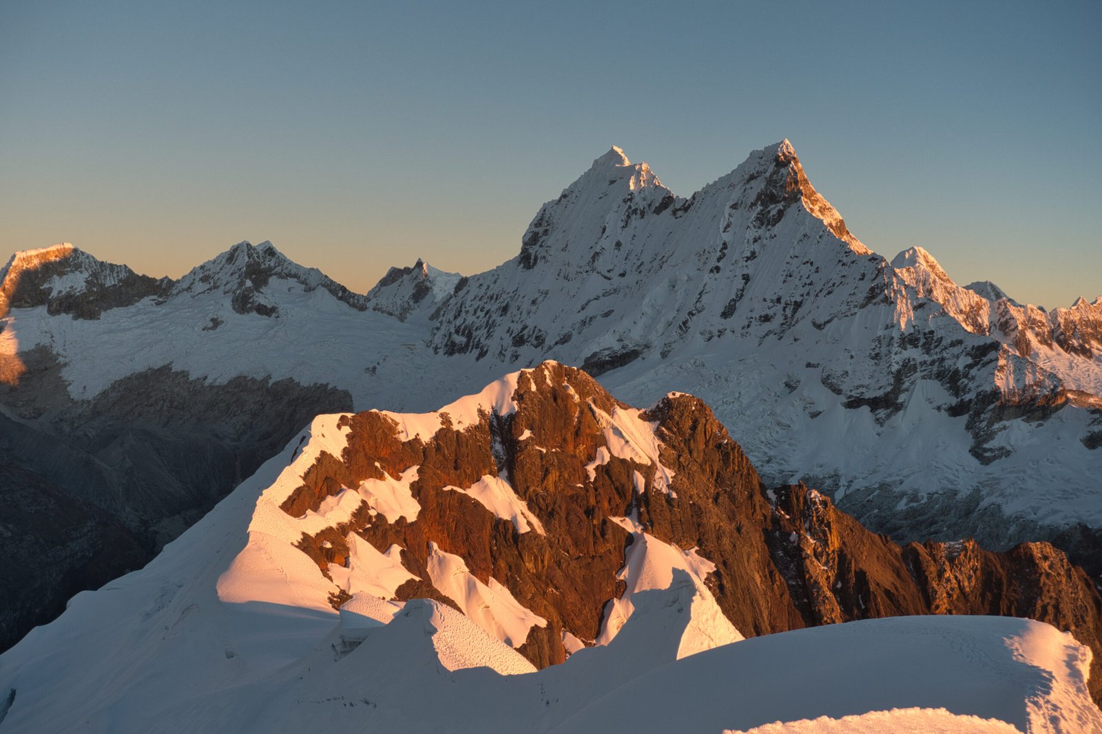
Huascarán National Park
Pt.2: Technical Mountaineering in Cordillera Blanca
Introduction
11 June 2026 – 26 June 2026
Part 2 of the Cordillera Blanca 2026 trip. Begin with Part 1: Acclimatisation.
Cordillera Blanca is the most extensive tropical ice-covered mountain range in the world and has the largest concentration of ice in Peru. With twenty-five peaks over 6000m, it is a paradise for technical mountaineering, featuring extremely challenging slopes with relatively simple access and without the headaches of true high-altitude climbing (5-6000m is no joke, but is vastly more approachable than 7-8000m). Among the draws is that even commercial trips climb alpine style rather than the fixed-ropes and siege-like expeditions of the Great Ranges.
There is certainly no shortage of options when considering which peaks to choose and I wanted to pick two to climb. I may have wanted to push myself technically, but many of the range’s peaks still struck me as too much of a skill-jump. From the outset, Yanapaccha (AD, Quebrada Llanganuco) always seemed the perfect next step for me and the obvious choice for the primary objective. For the second, I considered a range of peaks in Quebrada Llanganuco and Quebrada Ishinca, but the frontrunners were Pisco (PD+, Quebrada Llanganuco) and Tocllaraju (D, Quebrada Ishinca). I decided that it was wasteful to pursue trekking peaks like Urus or Nevado Ishinca, while Tocllaraju was asking for trouble due to the additional difficulty, particularly given that the crux is the summit mushroom starting at 6000m. I was not sure how difficult I would find Yanapaccha, and therefore Pisco would offer something of a safe fallback. Perhaps I should have more seriously considered Chopicalqui (AD, Quebrada Llanganuco), but that is a topic for later.
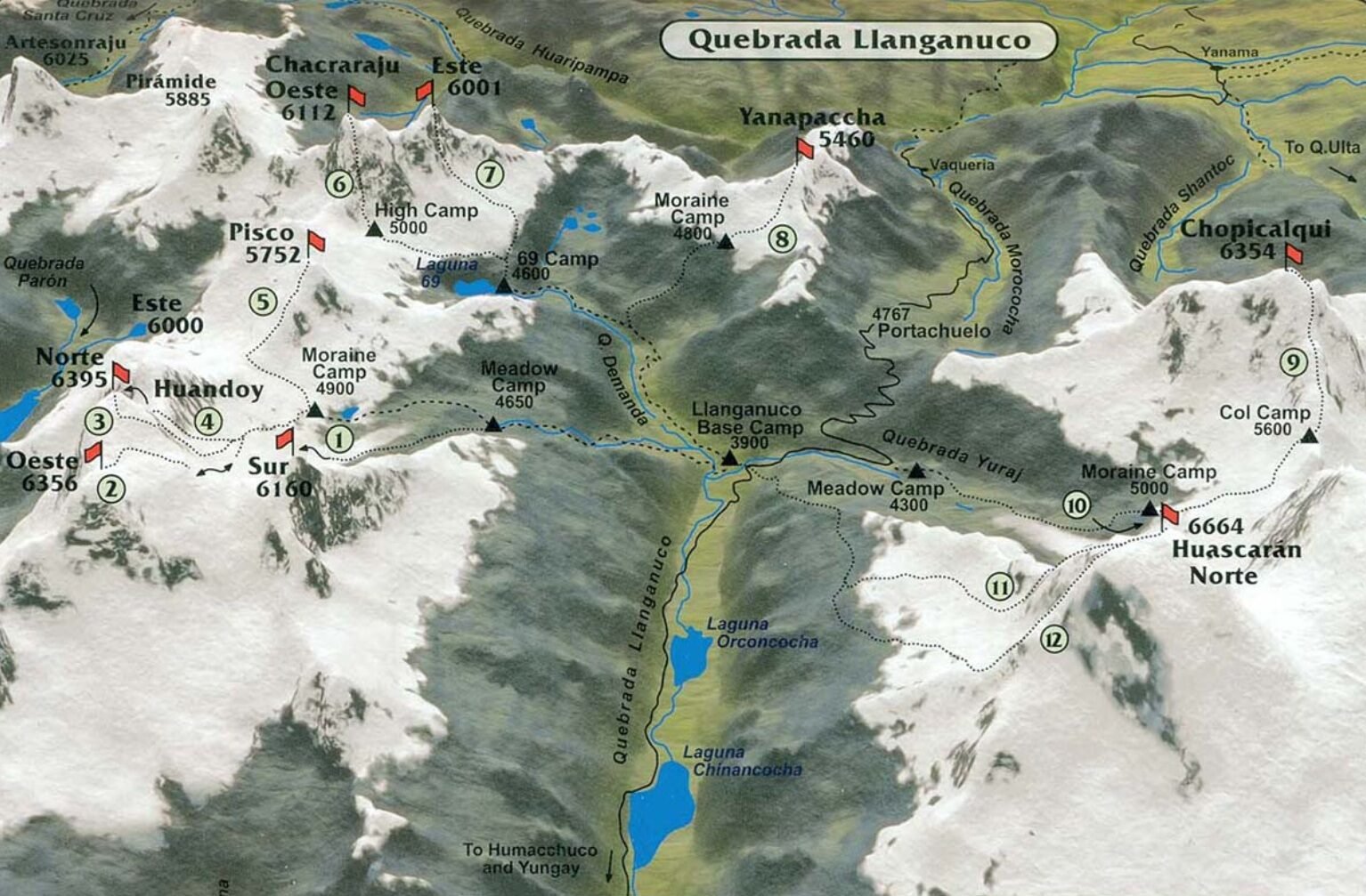
The peaks of Quebrada Llanganuco. Note that Yanapaccha’s Moraine Camp and route to camp are incorrectly placed
Quebrada de Llanganuco is one of the most famous gorges in Peru, home to the highest peak in the country as well as Laguna 69, a day-hike almost as famous as the Inca Trail. Yanapaccha ‘closes’ the eastern end of the gorge and at 5460m, it can hardly be considered short, but also doesn’t exactly stand out in this range. It shines as a technical training peak though, featuring a 200m wall and steep summit ridge, all with very quick access. It also happens to offer some of the finest views in Cordillera Blanca. I have seen the standard route rated as anything from PD+ to D-, but AD seems most appropriate and is the most commonly listed.
In contrast, Nevado Pisco’s standard route is a non-technical glacier slog (slightly more challenging than the standard routes on Blanc or Rainier). The non-technical route, coupled with superb summit views make it the standard offering in the region for international outfitters. Though apparently some have recently ceased operations due to being ‘too insecure for commercial expeditions’, related to the highly variable glaciers. This variability was on display this winter when an absolutely enormous crevasse opened on the summit in February, nearly severing the standard route from the summit. A grim glimpse into why Huascarán Norte is the deadliest mountain in the world.
A guide is supposedly required for all glacier mountaineering in Huascaran National Park though this does not appear to be at all true in practice. Given that I wanted to push myself technically and in a mountain range new to me, hiring a guide was always the correct decision for me. Besides, I was solo, and solo mountaineering is never advisable. I went with the standard package from a reputable company. This gave me a guide and cook, all meals, mules to transport gear to basecamps, and transportation from/to Huaraz. For those whose only exposure to guided mountaineering is what you hear on the news surrounding Everest, this would be a very different outing.
Huaraz – Yanapaccha Moraine Camp
Saturday, 20 June
I was picked up at 6:00, earlier than I would have expected during planning. It may have been an early start, but the three hour drive was conducted in far more comfort than my collectivo journeys during acclimatisation. Slightly concerningly, though the populated valley was drenched in sun, the peaks were heavily clouded. We made a short stop at the national park office to register our intended ascent of Yanapaccha (we would register Pisco later) – beyond this, there does not seem to be any mountaineering red-tape in Peru.
From the park gate, the road quality fell off considerably. Once again, I was very glad to not be driving. Huascaran National Park may be a big money-maker for Peru, but apparently all that cash goes south to the Inca Trail. Machu Picchu gets a highly controversial new airport and Huascaran can’t even get their road repaired.
Just beyond the Llanganuco Lakes we stopped at Yuraccoral to pick up a pair of Mexicans who were also on their way to climb Yanapaccha with the same outfitter (Dutchies, you are still not forgiven for the 2014 World Cup). They were on their own trip, with a different programme, and their own guide. Once they had finished packing up their camp, we all piled back into the van for the steep and windy road to the drop-off for Yanapaccha.
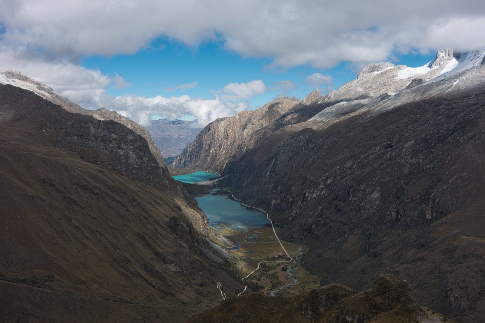
Llanganuco Lakes from km42
It was a 2.5km hike from the drop-off at km42 to Yanapaccha Moraine Camp (4800m). About 2hours. Views of the surrounding peaks would have been remarkable had the skies been clear. Oh well.
After setting up camps and eating lunch, I had a short session to refresh the basic rope-handling skills required. We covered belaying, abseiling, clipping into/out of anchors between pitches, and cleaning the route. It only took about thirty minutes to run through the exercises a handful of times, but it was a very important refresher.
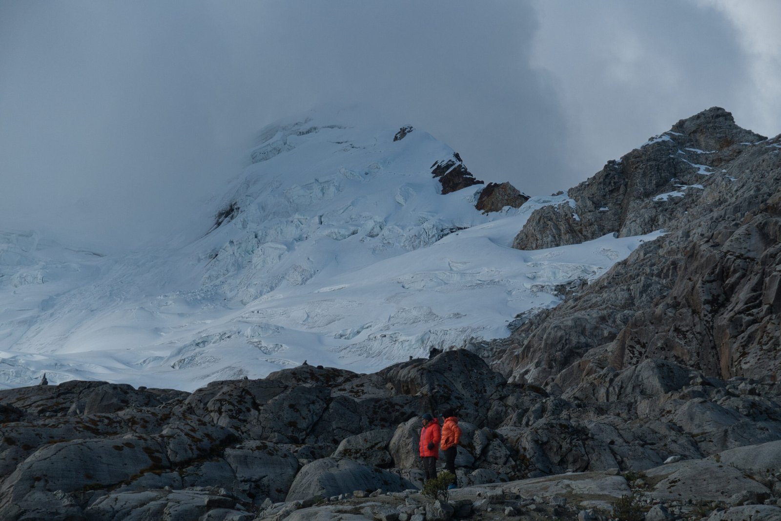
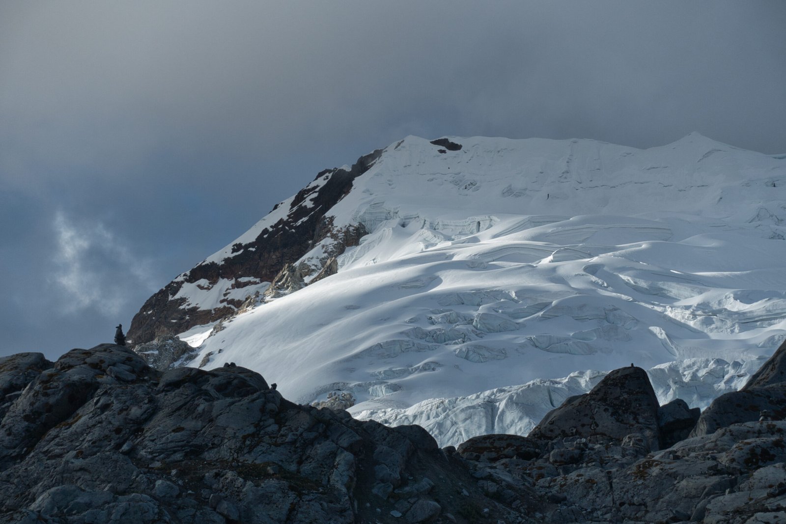
Yanapaccha finally beginning to show itself through the cloud
The remainder of the day was free, so I explored the moraine a little. The peaks were still heavily clouded, but there were hints of improvement. After a short nap, skies were beginning to show real promise.
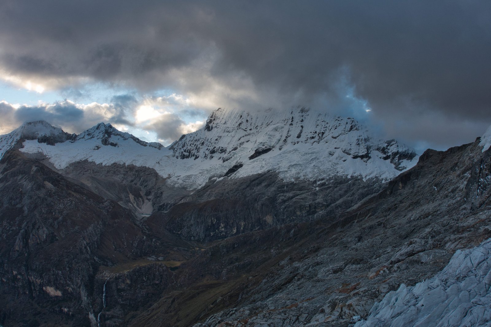
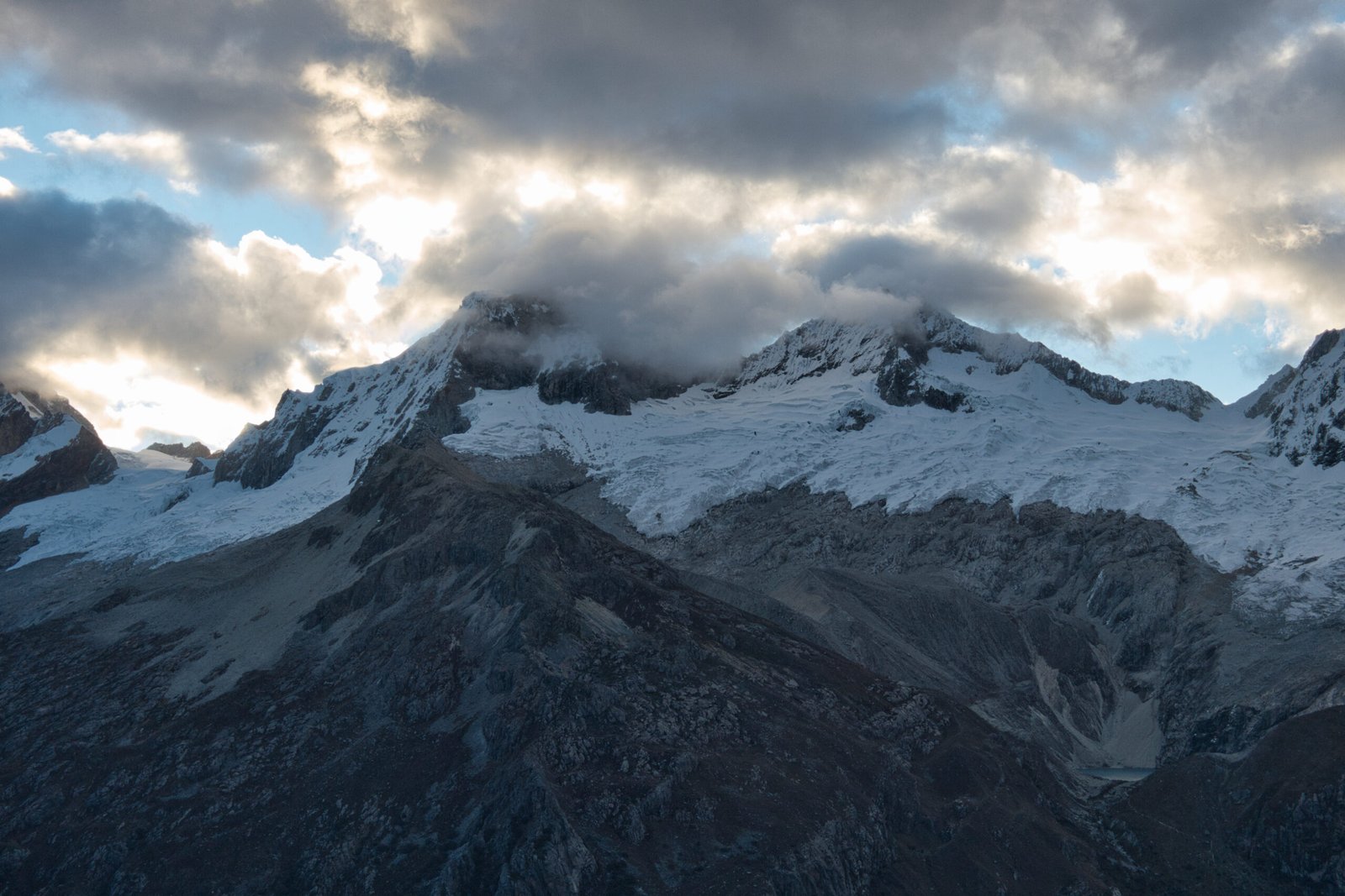
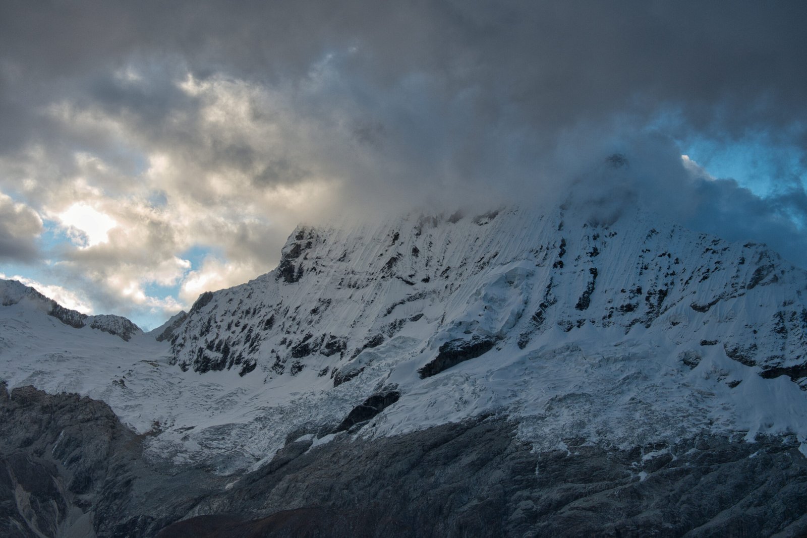
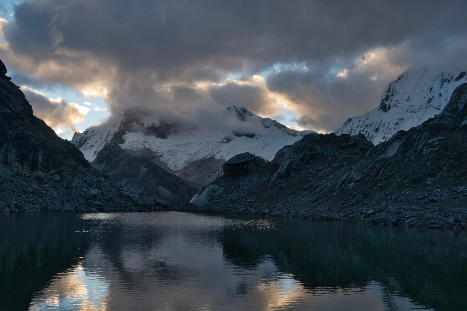
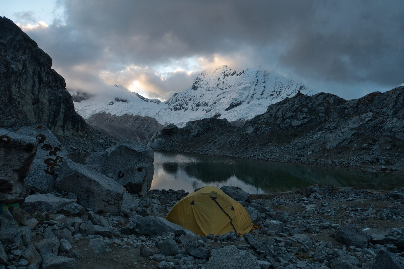
Cloud dispersing around Moraine Camp at sunset
When I stepped out of the tent immediately before bed, at about 8:00, I could see a sea of stars.
Yanapaccha (5460m, AD)
Sunday, 21 June
We set a 00:30 wake-up and 1:30 start, considerably earlier than the 3:00 start listed in the programme. After breakfast, we set off in parallel with the Mexicans. Or groups were the only two on the mountain that morning. A short hike up and over the moraine kicked things off.
Immediately after the crampon point there were two brief pitches of steep, hard, ice to get above the icefall. A belay was unnecessary, but it was steep enough that a large group had been using this stretch to practice ice-climbing skills safely as we arrived the previous day.
After a few snowbridges over crevasses, we traversed the glacier northward, crossed the undulating field under views of the Milky Way before ascending. At about 3:00, we stopped for a short rest on a broad platform before beginning the technical portion of the climb. We got out the second axes for a traverse back southward on the inside edge of the steep summit ridge. Eventually, we popped over to the steeper far side as the first traces of light appeared on the horizon. The final section of the ridge required the guides to hammer two pitons for protection, and we found ourselves on a small balcony, about 30minutes below the summit.
It was about 5:00. With sunrise still about 1.5hours away, we had some time to kill. The Mexicans had a little dance party, but we were also treated to quite a large shooting star above Huascaran and watching two sets of headtorches slowly ascend Chacraraju added to the atmosphere.
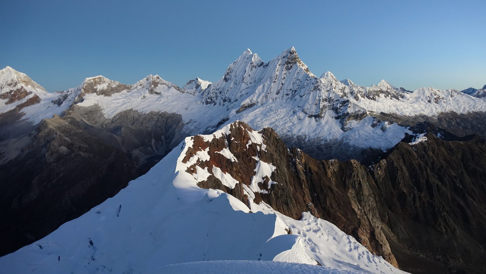
Summit views of the technical ridge and Chacraraju at first light
360degree summit panorama from PeakVisor
Even with the wait, we summited considerably before sunrise-proper. Yanapaccha is often a very windy mountain, being located at the head of a significant valley, but we were fortunate to have calm air. Despite faffing about on the summit for at least 30minutes, alpenglow did not light up Huascaran and Huandoy until we were already descending, halfway back to our little balcony.
One of the Mexicans slipped into a little crevasse at the base of the summit block. Being a tiny and unthreatening crevasse, he was able to laughingly extract his leg out with no more than a mildly bruised ego.
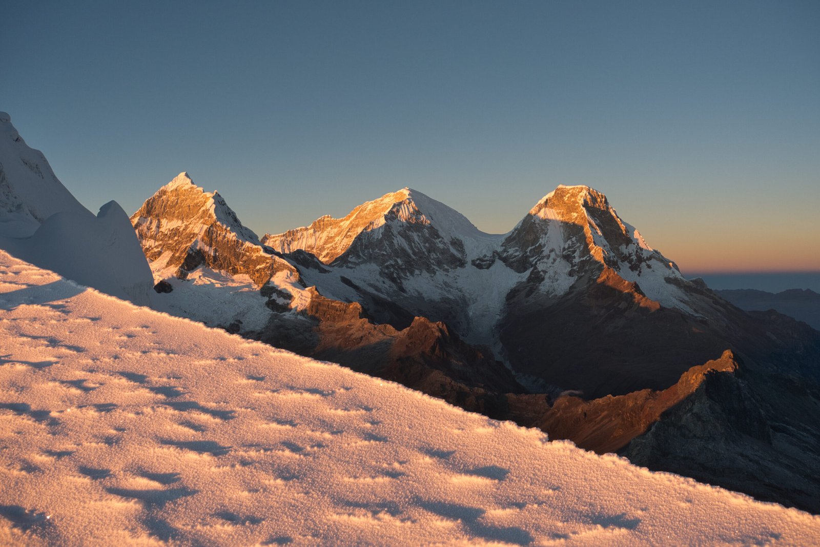
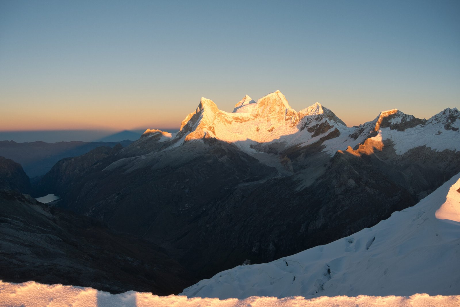
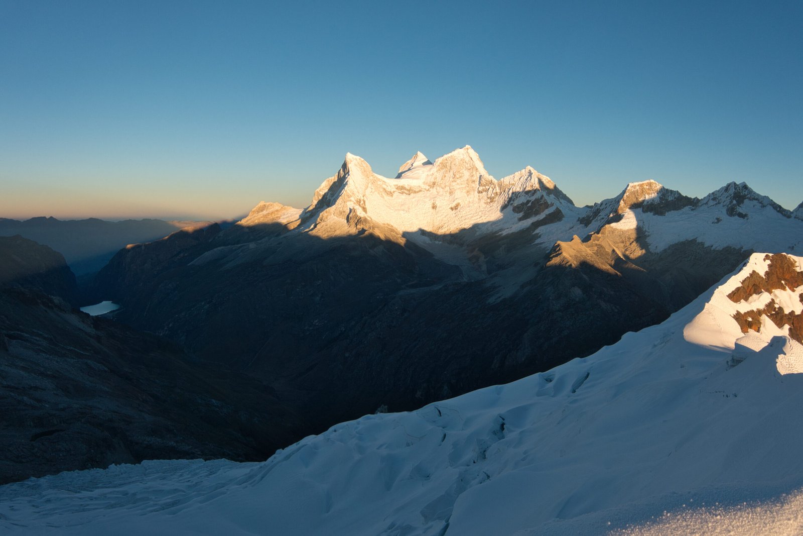
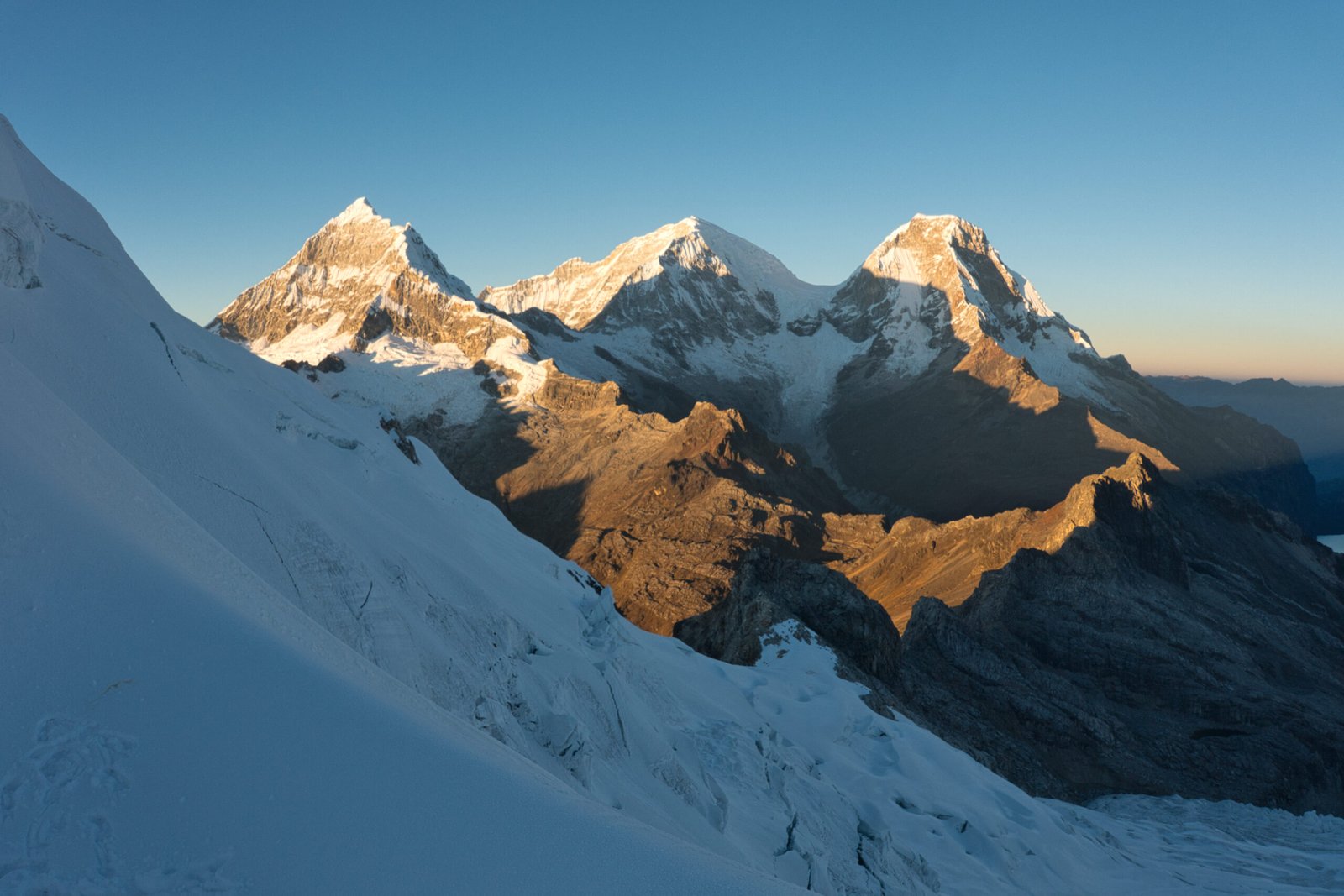
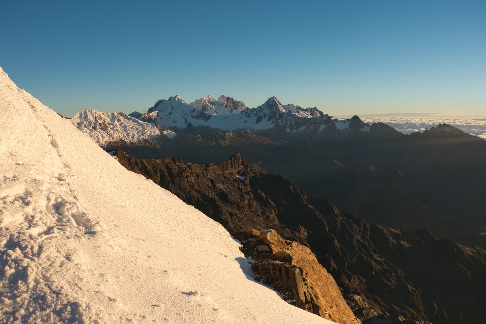
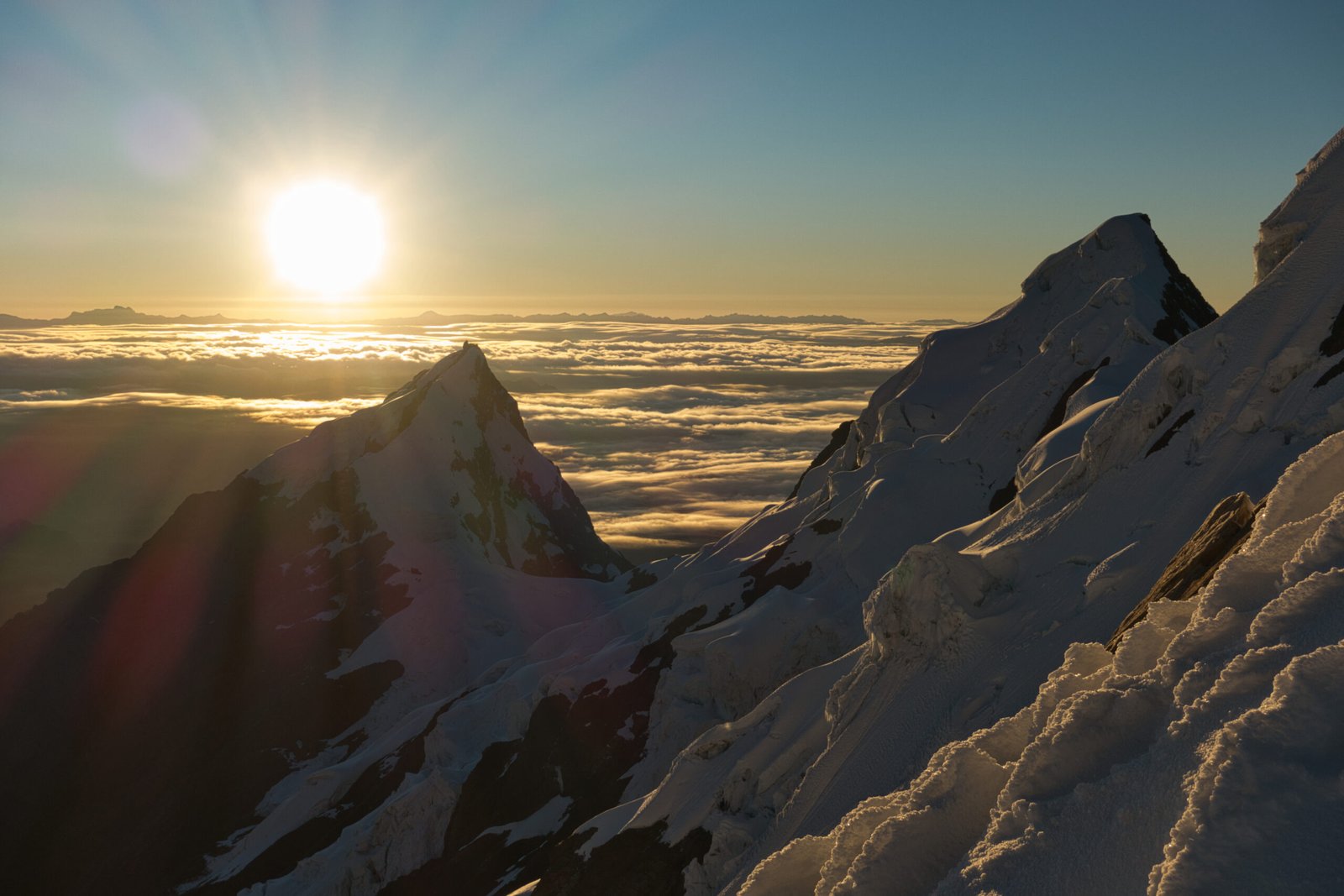
Rapidly changing light from the little balcony below the final summit push (on descent)
There was some back and forth between the two guides, but ultimately we ended up abseiling from our little balcony, down the wall, rather than retreat back via the ridge. This made for an extremely rapid descent. A single 200m abseil followed by an easy romp down the rest of the glacier. In under two hours, we were back to the final bit of downclimbing for those two brief pitches of ice, and back to the crampon point.
I did not relish the thought of climbing back up and over the moraine, but it was mercifully brief and the camp views with Huandoy and Chacraraju in the background were excellent.
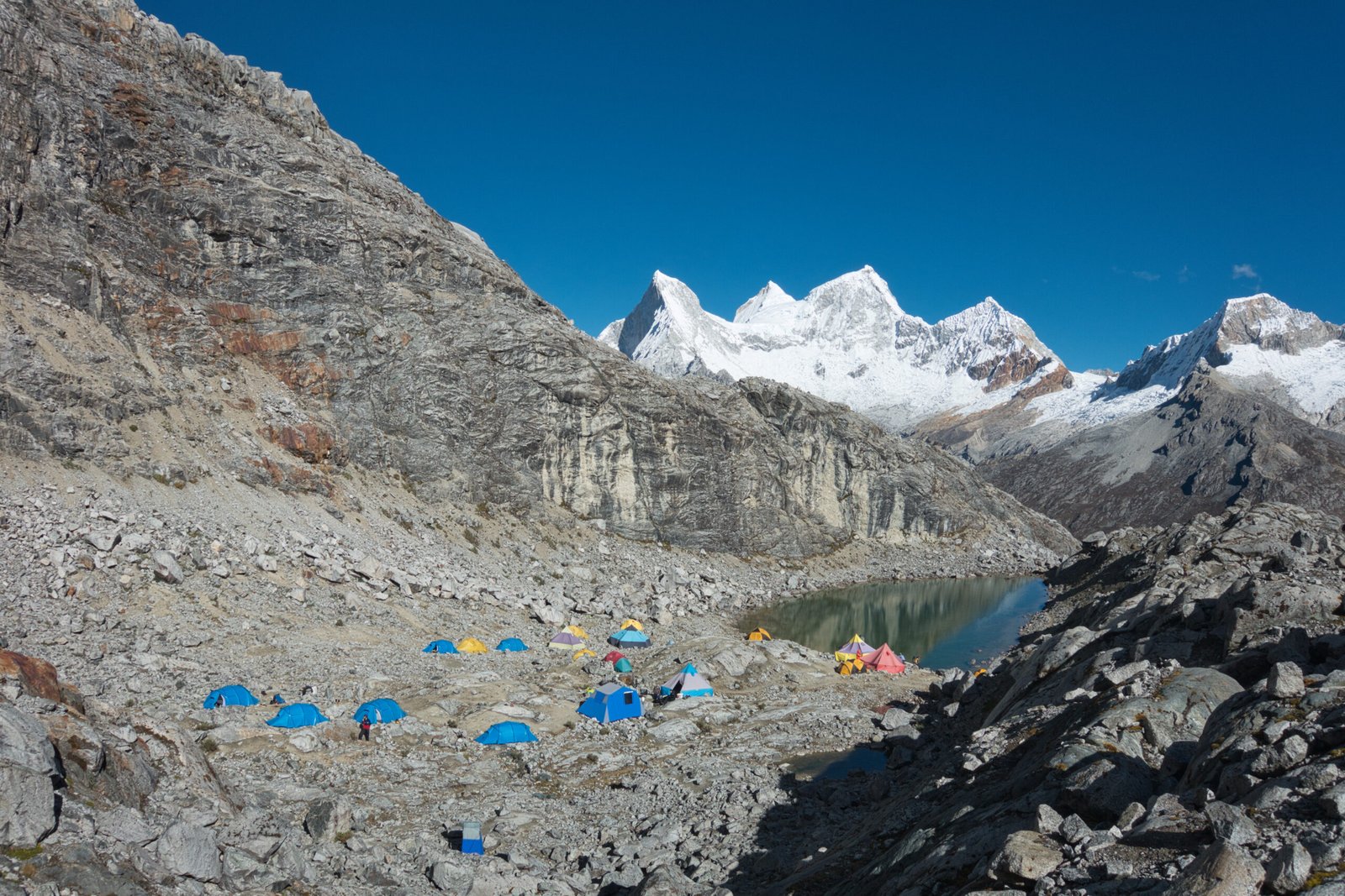
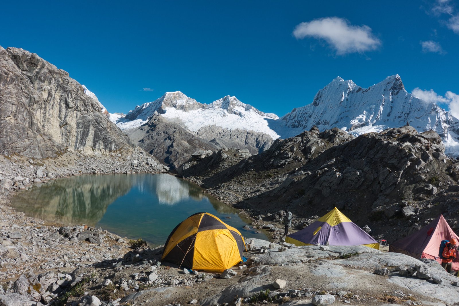
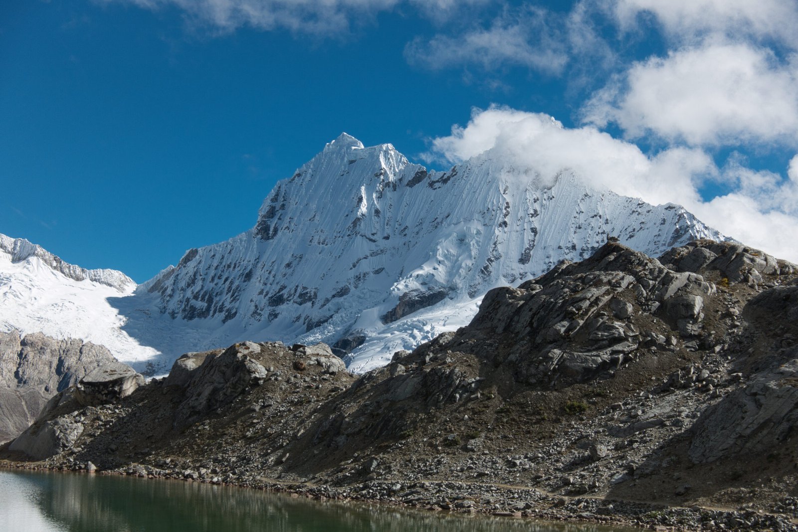
Yanapaccha Moraine Camp under clear skies
It is easy to say when guided and with favourable conditions, but this was a more comfortable challenge than I expected. Perhaps I should have attempted Chopicalqui as my second peak instead of the technically straightforward Pisco. Somehow Chopicalqui wasn’t really even on my radar when considering which peaks to climb – I was aware of it, it just didn’t really register as even a potential option. It would have been a very different climb, offering a very manageable ‘big mountain’ experience with modest technical challenge. The route requires a glacier camp in the col between it and Huascarán Sur. Summit day involves more pitches than Yanapaccha, though the climbing is actually less difficult (steep). For the right price, it would have been a very nice culmination to the trip. However, at the time of booking, I was unsure of how difficult I would find Yanapaccha and I didn’t want to be the kind of client that overcommits.
Without being rushed, it was a brief return to Moraine Camp. Our cook had a hot meal ready as soon as we changed out of our climbing gear and we broke camp shortly after. It was still only mid-morning when we started the short 2.5km hike back to the road where we would meet the van. Unlike the outbound hike, skies were clear and views were excellent. Unsurprisingly, the climb and lack of sleep caught up with me and I was quite sluggish. A proper nap on return may not have been a bad idea.
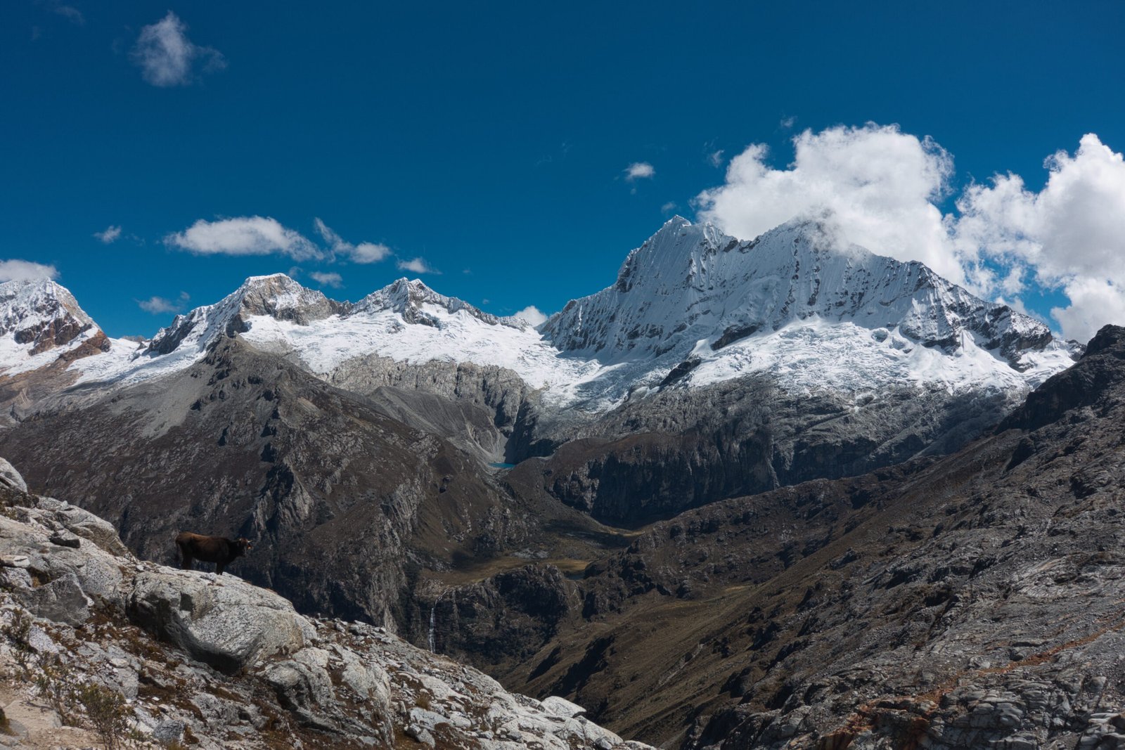
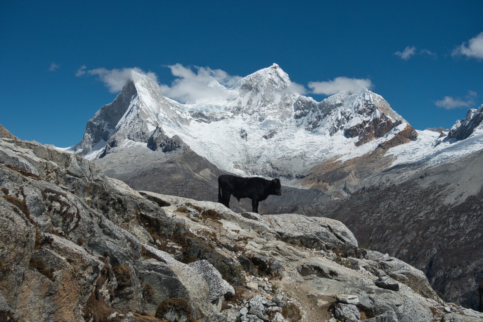
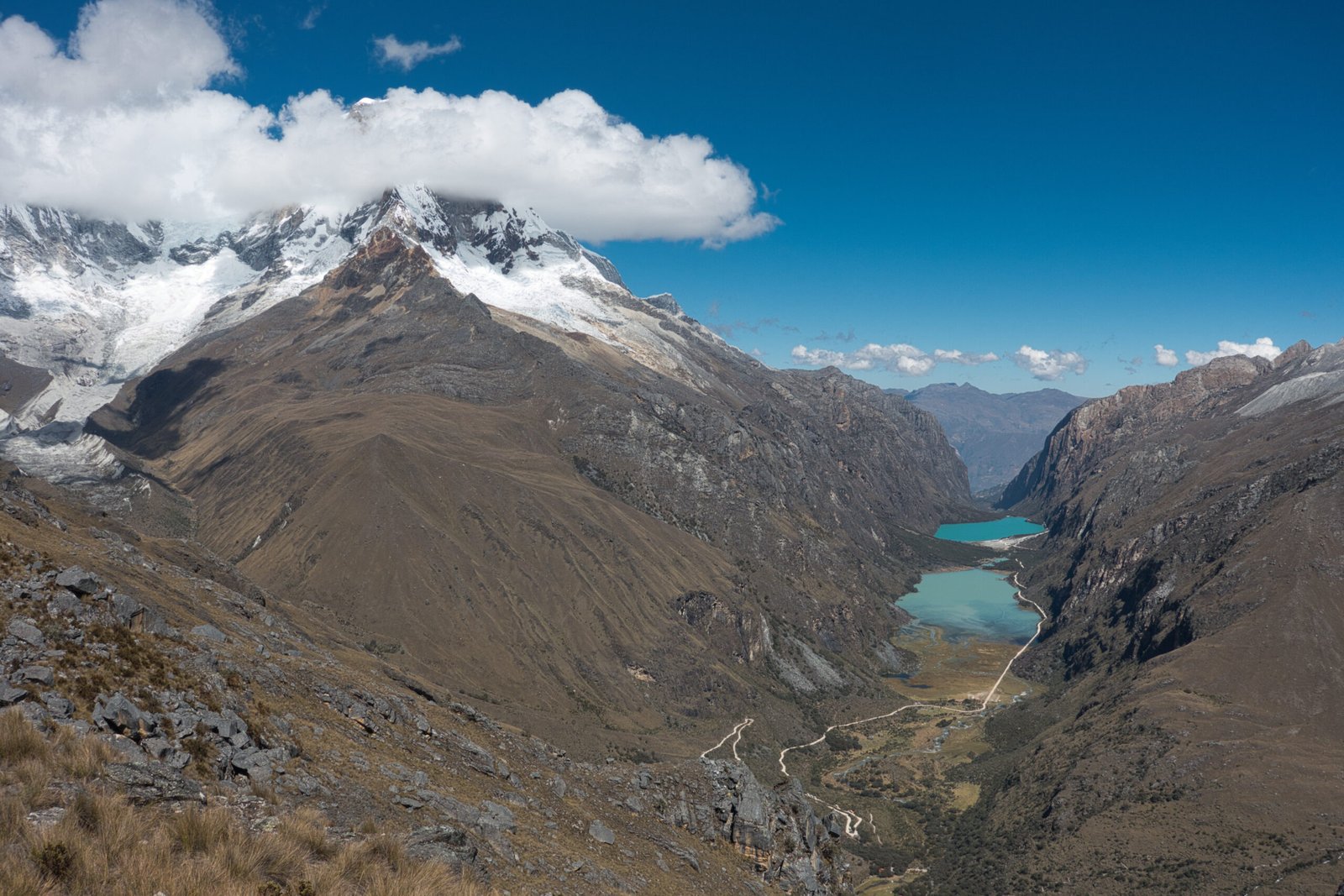
Views from the walk back to km42
After a lengthy wait for the donkeys at km42, we drove back down to Yuraccoral where I was dropped off as the Mexicans continued back to Huaraz for a rest day before tackling Chopicalqui.
I had nodded off during the short drive and fatigue hit like a freight train as we exited the van. I was flagging badly as we set up the tents in the midday sun. An afternoon nap helped considerably, but I definitely needed a good, full night’s, sleep at the very minimum.
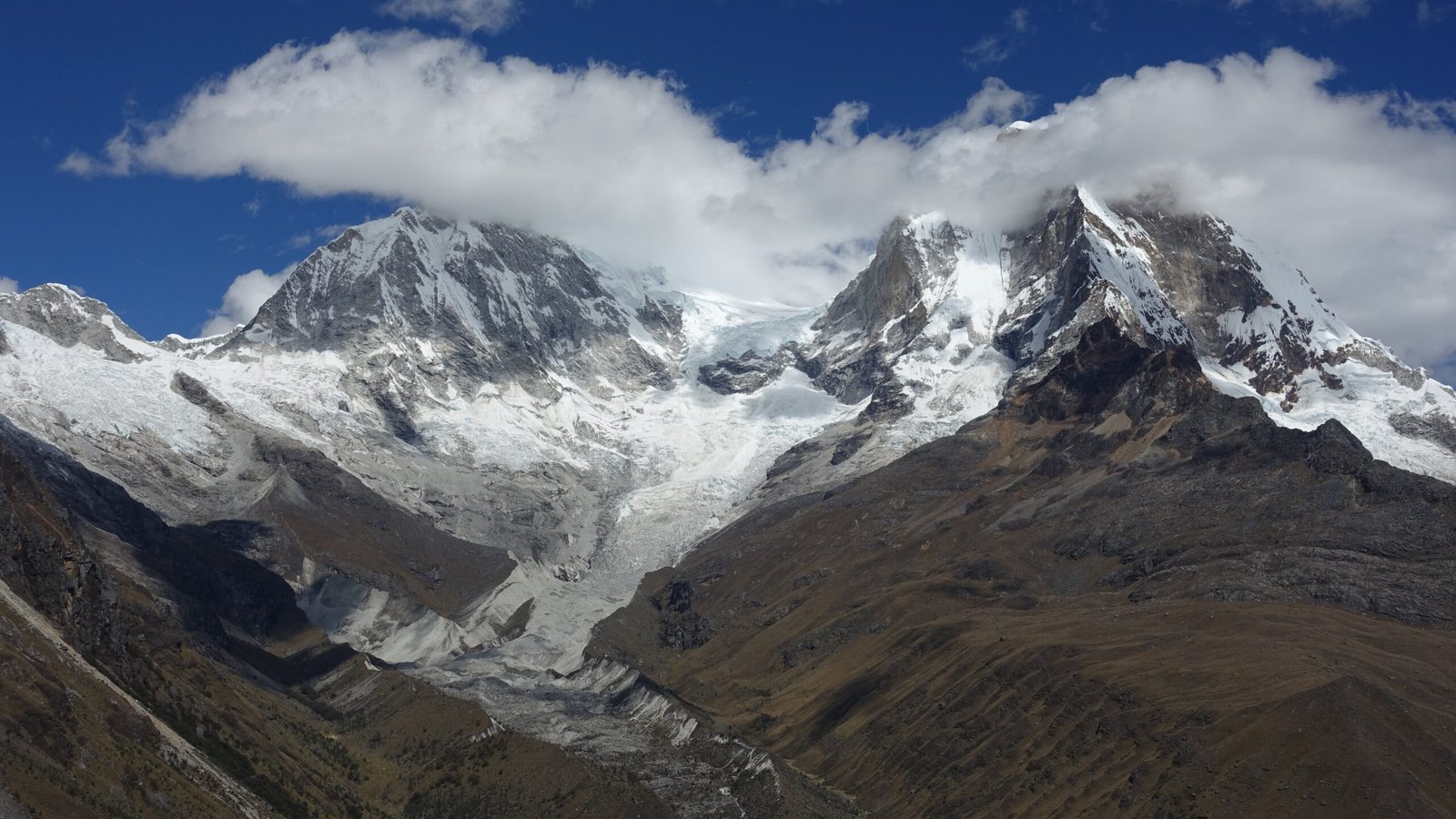
Dual peaks of Huascarán
Yuraccoral – Pisco Basecamp
Monday, 22 June
We set breakfast at 8:00 for a relaxed morning. There was some serious condensation in my tent. Mildly annoying, but also vindication for my personal sleeping setup during the acclimatisation phase – fancy four-season mountaineering tents have difficulty here too. My guide had even more problems than me, so there also wasn’t something fundamentally wrong with the rigging of my four-season tent.
A little after 9:00, we set off for Pisco/Huandoy basecamp. I had seen the track from the hike from Yanapaccha Camp the previous day and it had looked a gruelling climb. Both the programme and my guide claimed that it would only be about 3hours though. Ultimately, it proved nowhere near as bad as I had feared. It was a pleasant day, views of the neighbouring peaks were excellent, and were just about spot-on the time estimate.
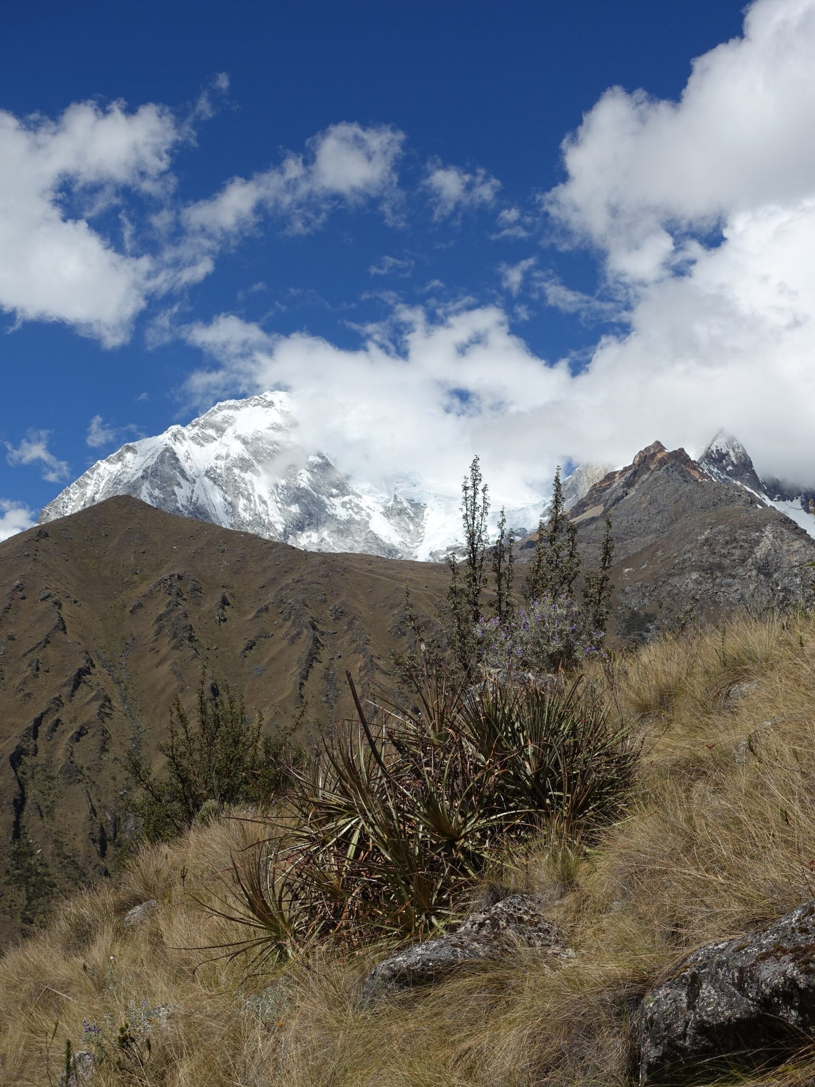
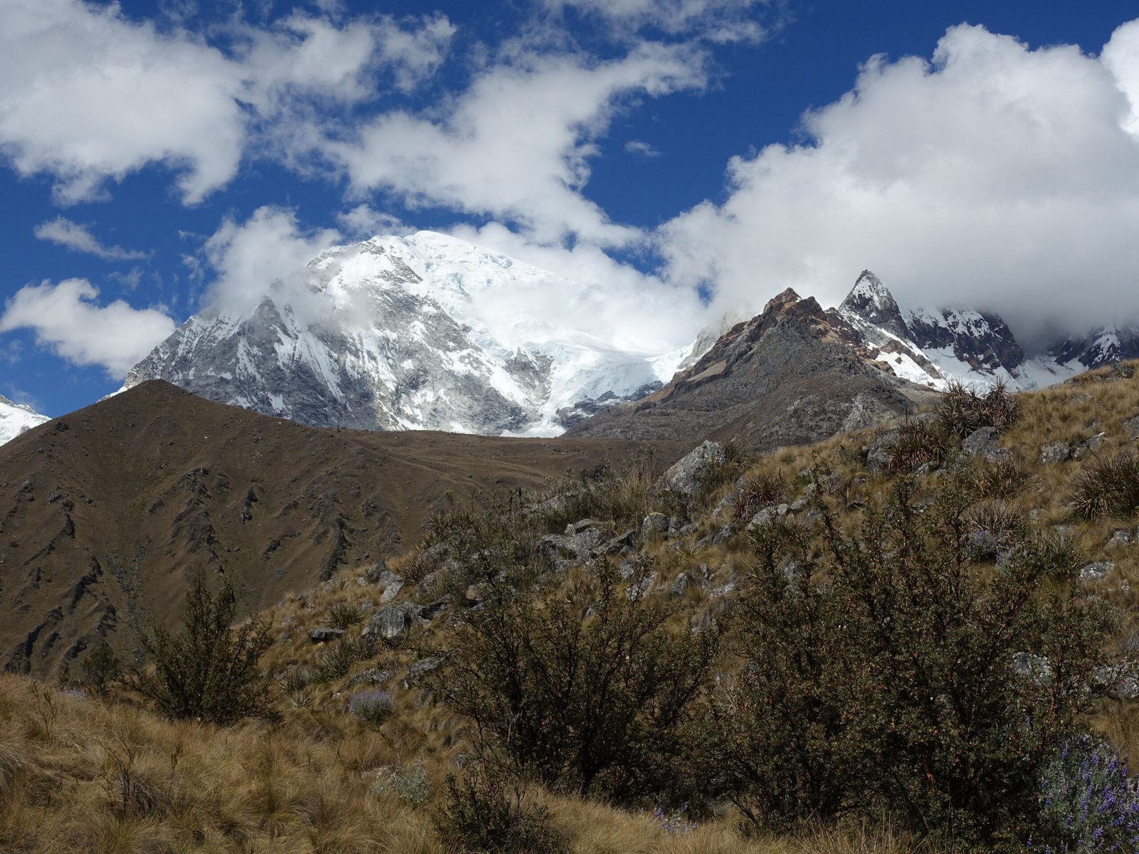
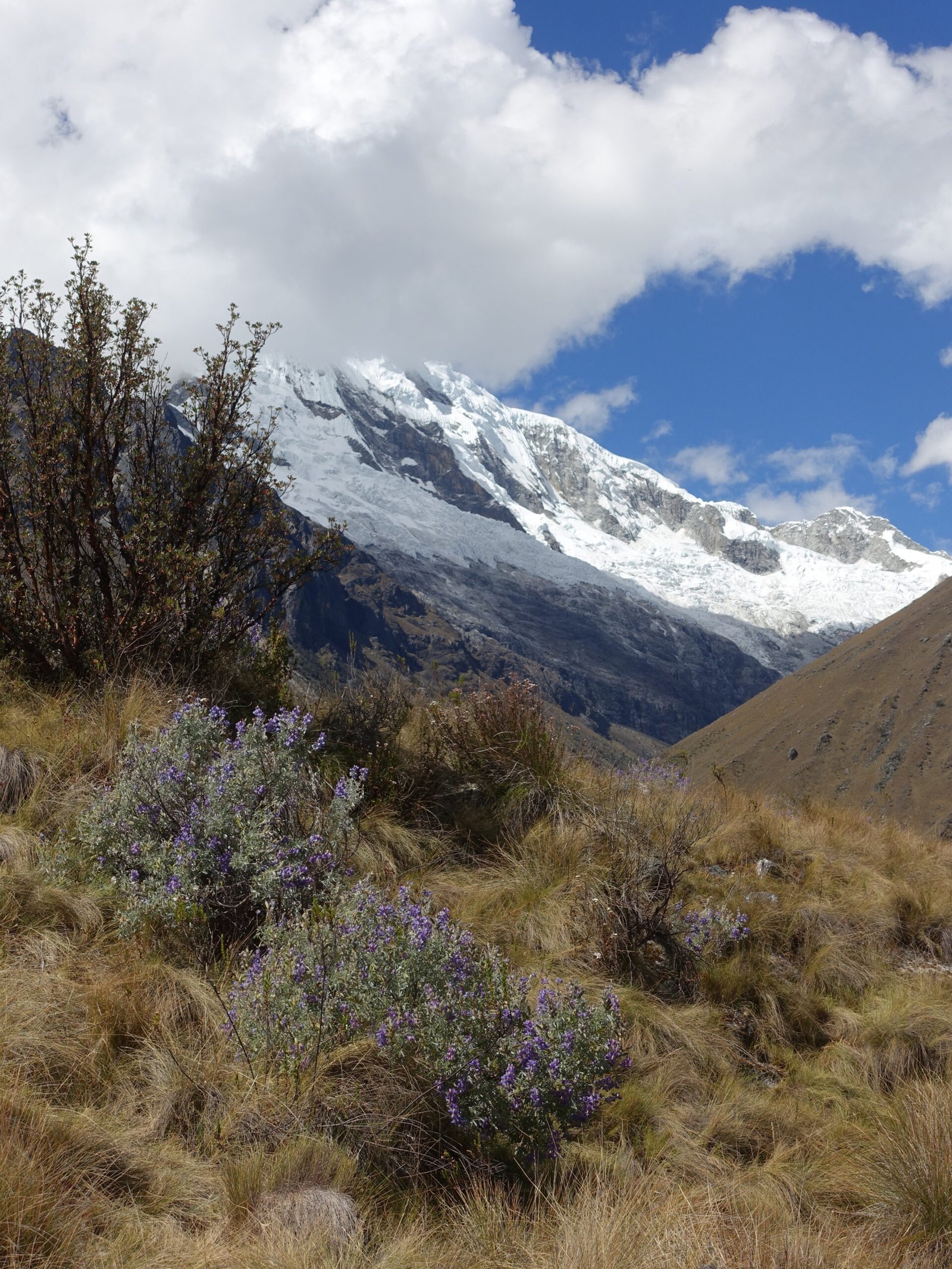
Huascaran and Chopicalqui from the trail to Pisco Basecamp
As we waited for the mules to bring our gear, we sat near a German duo who were headed up Huandoy independently (clearly that guide-required rule is very optional). Not sure which of its four peaks, but does it matter? A serious and rarely climbed objective – even my guide was impressed. All four of them are some of the most difficult peaks in a range known for technically difficult ascents. Huandoy Este, the shortest of the four, is particularly challenging.
A large group further up the field was preparing to hike out, so when the mules finally arrived we moved to their location. It was surprisingly quiet at basecamp given what a popular objective Pisco is. Slightly further up the moraine, there is an Alps-style shelter – complete with beer, wifi, and showers. A handful of groups were staying there, but it looked like I was going to again luck out on crowds despite the typically popular peak.
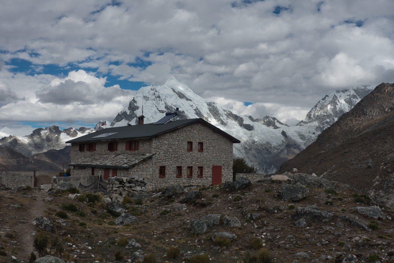
Refugio Peru: internet and beer
There was quite the dramatic sunset. A llama very cooperatively posed for a photoshoot with Chopicalqui – how very Peru.
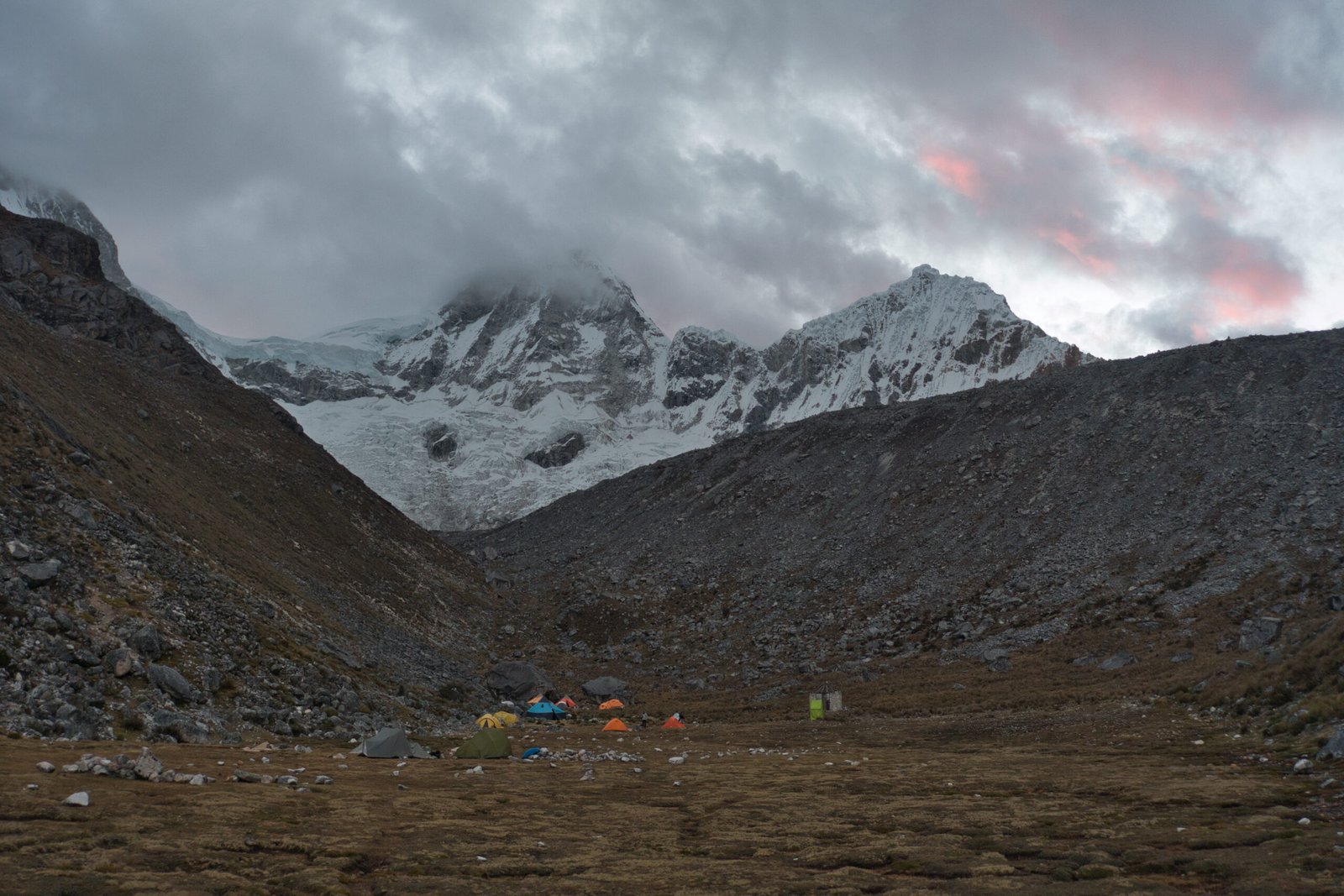
A striking sunset over Pisco/Huandoy Basecamp. My home is the yellow tents and the blue is our dining tent
Nevado Pisco (5752m, PD+)
Tuesday, 23 June
Sleep? What even is sleep?
We set a 00:00 wake-up and a 1:00 departure with the intention of a sunrise (6-7:00) summit. I slept terribly and there were signs it just wasn’t going to be my day from basically the moment I got up. I felt rough.
The climb began by a lengthy slog through the massive, labyrinthian, moraine. This can be avoided by using the Moraine Camp, located below the crampon point, but that requires additional days and extra logistical work because mules can’t enter the moraine. Therefore, it is mainly used by the big-name foreign outfitters. It was a good thing someone hired a guide! Two other pairs who had started ahead of us were struggling to find the way (no judgement, routefinding in that moraine is a challenge in daylight, much less night). Unfortunately, by the time we reached the crampon point, it was clear that my poor state wasn’t just a passing feeling.
Not much to report from the glacier ascent other than that I felt horrendous. The climb was basically just a relentless push upward in the darkness. I had to stop several times on the way up due to altitude-induced fatigue. This was particularly frustrating given that I had felt so great on Yanapaccha. Ignoring the dangers of AMS turning into something worse, altitude-induced fatigue like that isn’t something you can just ‘push through’ like you might expect. No amount of physical or mental determination will help, you just need to have a short sit (maybe 5min).
Even with the stops, we were sufficiently fast that we found ourselves waiting roughly 30minutes below the summit for sunrise. Once again, we were waiting with a Mexican rope-team. This time, a father-son duo.
Views from the top were nothing short of fantastic – Pisco fully deserves its reputation. And as long as I was stationary, I felt basically normal.
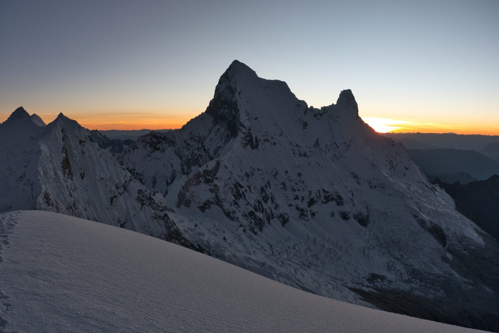
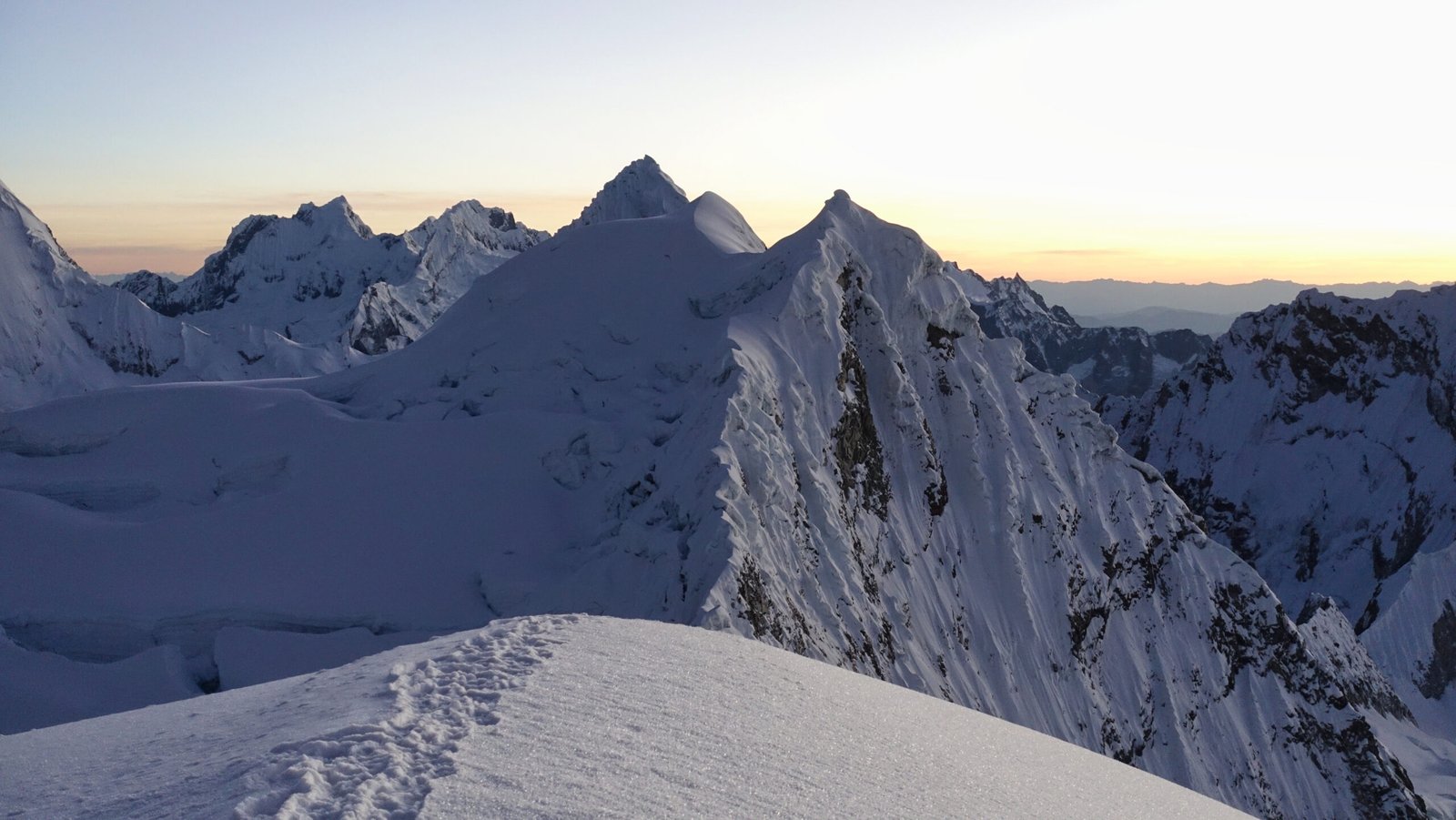
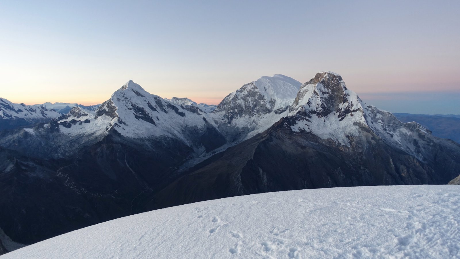
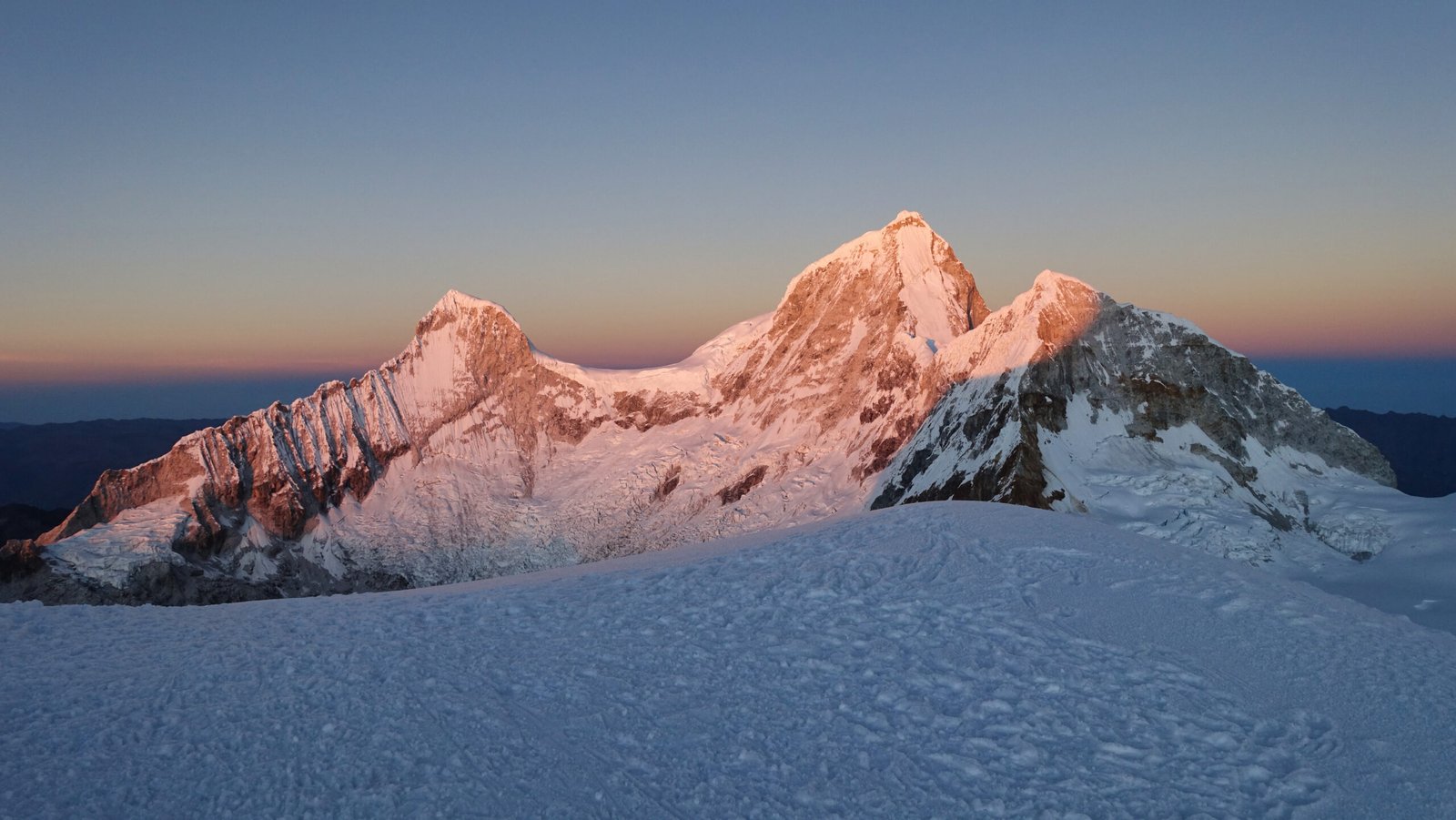
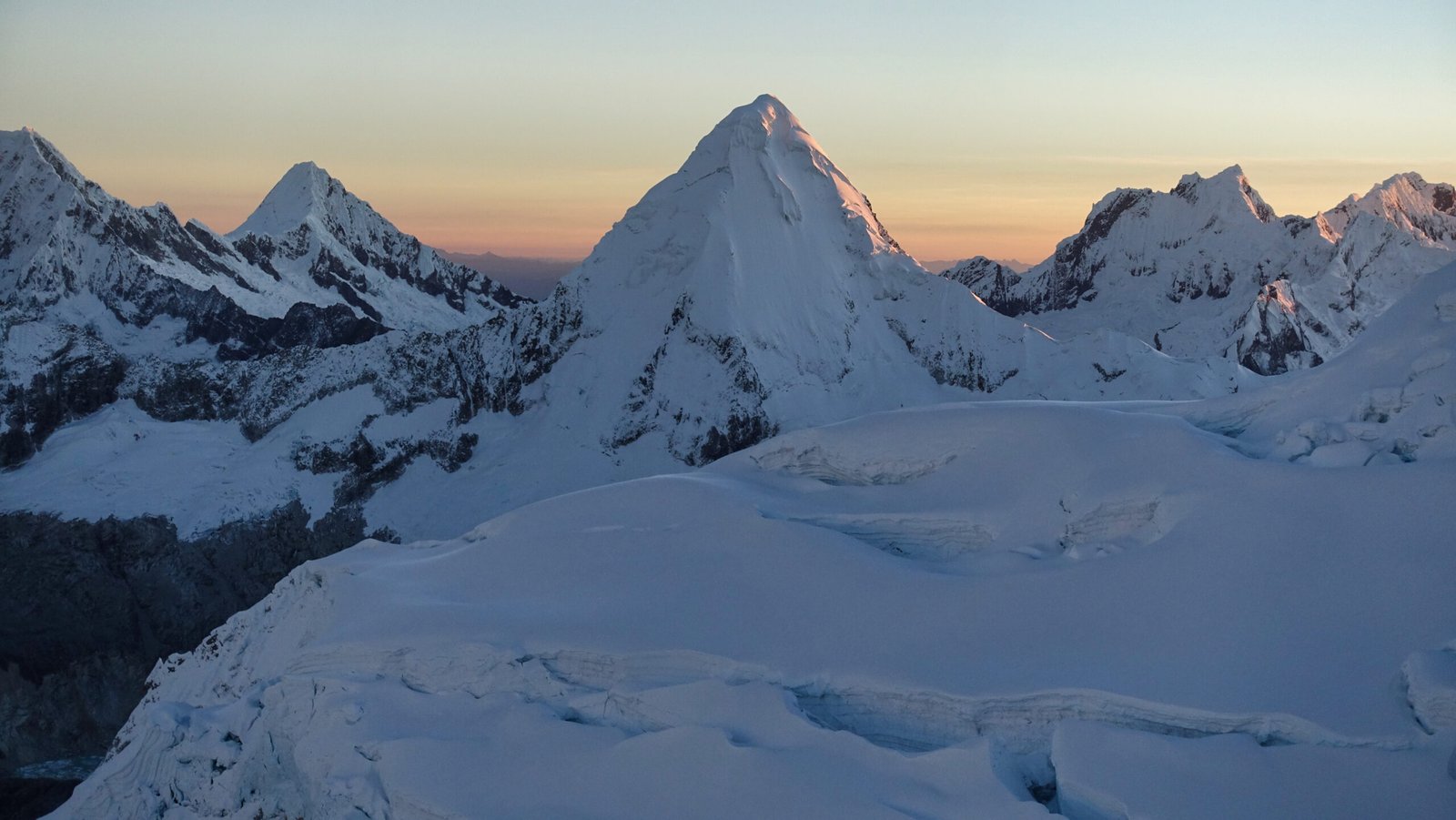
Pisco summit views: the ‘balcony of Cordillera Blanca’.
360degree summit panorama from Peakvisor
After some photography and faffing about on the summit, we began the descent. As always, it was nice to be able to see all the views we had missed on the way up in the darkness, though I foolishly forgot to take a photo of the summit crevasse. I was definitely still not feeling normal, but descending doesn’t require much effort and every step down was a step into thicker air. The bulk of the mountain hid it for almost all of the glacier descent, but I knew what waited ahead: that hellish moraine.
We stopped at the refugio on the way down for a beer with the Mexicans to celebrate being the first up and down – about 9:00. My guide was able to get us online too, so a quick check of what had happened in the world the previous few days.
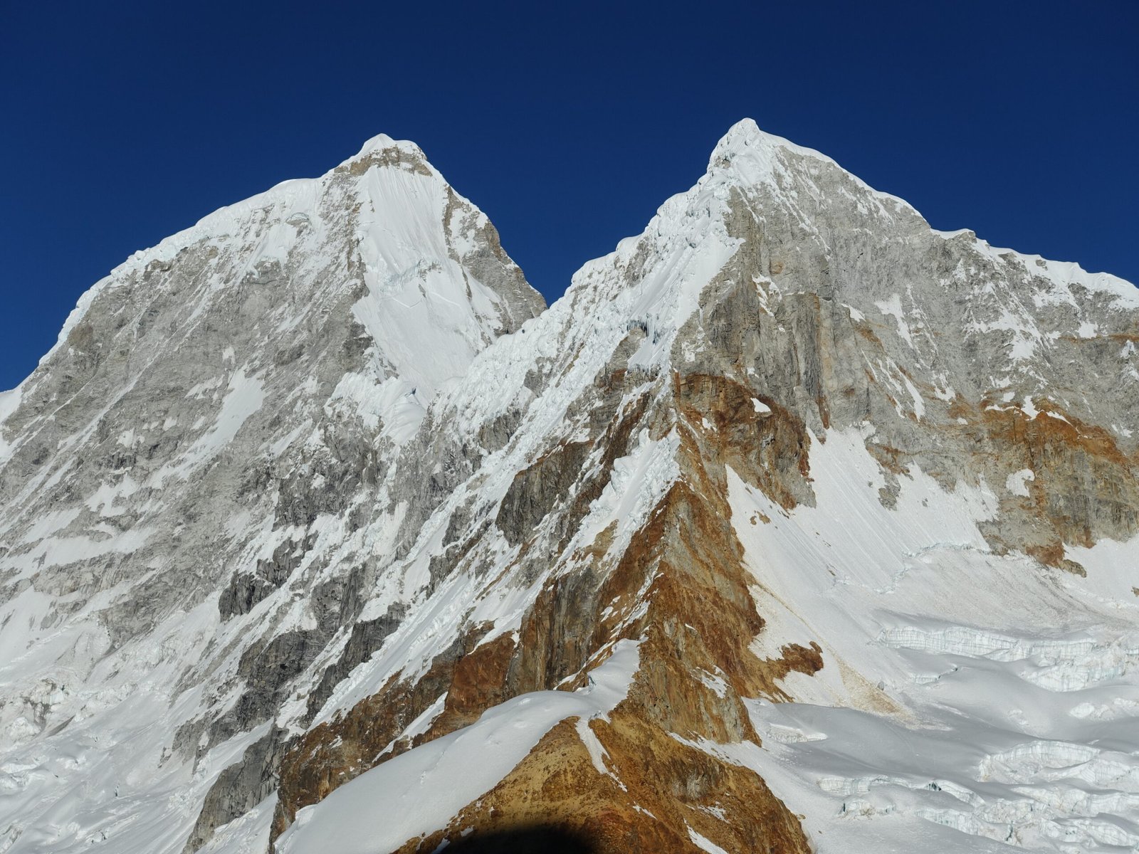
Fine views of Huandoy Este and Primary from the descent
Prior to the trip, I had my doubts about Pisco. In fact, I had initially written it off of my shortlist. I know fully understand why all the international outfitters gravitate to it – it is a pleasant (other than the moraine) and straightforward ascent, there is plenty of room to move about on the summit, and the views are up there with the best.
The altitude issues I encountered were very frustrating. I thought I had done an excellent job with acclimatisation and had felt very strong on Yanapaccha just 48hours prior. I suspect that the primary issue was lack of rest after Yanpaccha and inadequate hydration during this segment of the trip. Another potential factor is that I had been making a very conscious effort to move slowly during acclimatisation, but not during the climbing portion. At no point did I feel that I was overly exerting myself in any way, but I default to moving quite quickly which could have triggered the distress.
Pisco Basecamp – Huaraz
Wednesday, 24 June
With no rush, we had an 8:00 breakfast. Sadly, I once again slept horribly. There could be any number of reasons, but altitude seems the most likely reason, or at least a major contributing factor. If so, it was my only notable symptom at 4700m.
It would prove to be a morning of waiting. The mules arrived before I had even emerged from my tent, but of course they would not be of any use until we had finished breakfast and disassembled camp. My guide and I began the short descent to the park checkpoint as the cook helped organise the supplies and finalise the camp-disassembly. The checkpoint gets busy, being for both Pisco and the immensely popular Laguna 69 hike, but it is quiet in midmorning, when everyone has already been dropped off. They are doing a considerable amount of construction – apparently primarily expanding the toilet facilities, but it looked like they are also building a restaurant/shop. My guide was not impressed by the increased development. I share his concerns, though my impression was that it appeared surprisingly tasteful given the popularity of the laguna hike (I have less sympathy for the massive car park currently being installed next to our Yuraccoral campsite).
After about an hour, we headed down to the area we camped on night two to wait for the mules and the car that would take us back to Huaraz.
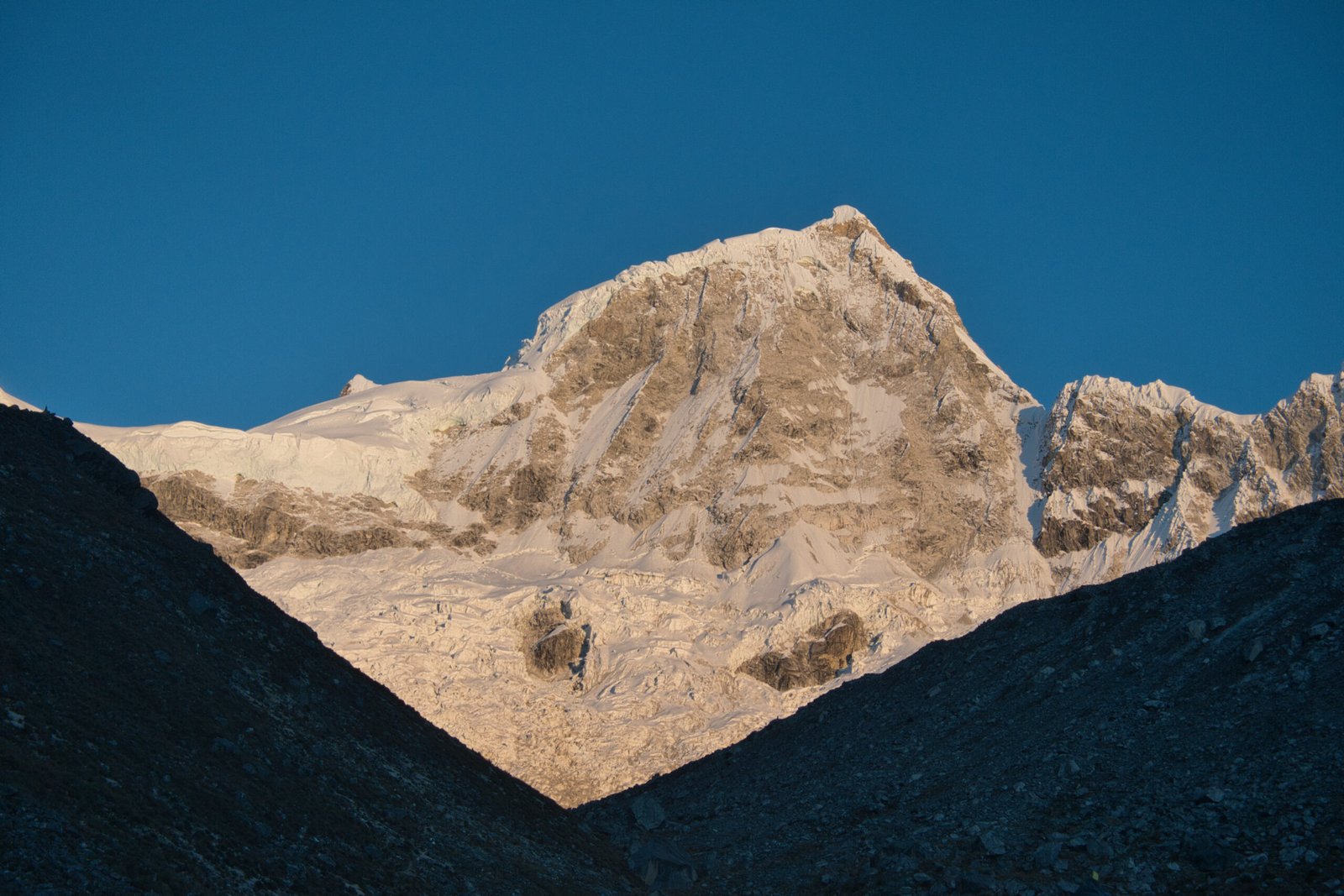
Huandoy at dawn
Unlike the outbound drive, the peaks were clear on the return. There were interesting views of rural hill-life with the monstrous peaks looming in the background. Still, three hours is a long drive.
Being back down to 3050m for the first time in days was a welcome change – air so thick you could swim in it! I was glad I had not pushed the climbing return to the very last day. I definitely needed a quiet day to relax and dry and air-out the gear before repacking.
Departure
Friday, 26 June – Saturday, 27 June
Intercontinental travel days: always a joy, aren’t they.
While the outbound bus journey from Lima to Huaraz made sense, it likely would have been more logical to fly the return to Lima, arriving in early afternoon the day of the evening transcontinental flight. Instead, it was a 22:10 bus departure the evening prior, arriving at about 5:30 the next morning. Having slept so little in the previous five days, I did manage to roughly sleep through the journey, but the nature of Andean roads still made it a very shallow sleep.
With the premium comfort airline ticket (first-time trip), I found myself not actively dreading the flight home and I was able to walk off the aircraft after 13hours without my soul having been completely destroyed. But don’t worry, the Dutch border had that well covered! The EU has become an extremely ugly place, with a xenophobia problem that is growing exponentially.
Afterwards
Unsurprisingly given that the mountaineering was the primary objective, the trip really came together with this section. I definitely enjoyed the solo acclimatisation and hiking, but would have felt unfulfilled had that been the culmination of such a lengthy and expensive amount of travel. Furthermore, while Huaraz is a gateway to a plethora of exceptional options and the AirBnB made a nice place to relax with dramatic views, the town itself offers little and noise was a continuous problem for me.
I was extremely happy with my choice of peaks. Yanapaccha was a very appropriate next step for my alpine climbing. Its reputation as a technical training peak is very well earned, with easy access to camp and even easier access to the glacier coupled with a wide variety of technical options. The fact that the views are world-class is just the icing on the top. I always viewed Pisco as a safe option. Though probably being the most challenging of Cordillera Blanca’s ‘easy’ peaks, it remains a straightforward glacier-slog. Given the views from the top, I fully understand why it is the regional go-to for expedition outfitters and it is definitely worthy of its reputation as the ‘Balcony of Cordillera Blanca’.
Perhaps I should have even pushed myself further on the technical side. It is best not to overextend oneself though, and I did encounter altitude issues on the second mountain that may well have been insurmountable had Pisco been technical. Furthermore, I am trying to do these mountaineering outings in a financially sustainable way. A longer/more involved peak would have pushed the price up, cutting into other plans, all while simultaneously reducing the chances of success (multiple social media posts from the outfitter regarding more experienced climbers making positive, but ultimately unsuccessful, attempts at Tocllaraju this month).
A few general notes on the trip:
- During planning I considered adding a stop in the Amazon. While it would have been interesting, it would have added considerable travel time/complexity and I am far from convinced the travel style required would be worth it for me. I intend to return to the Peru (and other parts of the Andes) so the option will remain in the future.
- It was very interesting to see the differences between the tropical mountains of Africa and South America. Though it is important to remember that while I am comparing like-elevations and similar-latitudes, the rainfall was vastly different.
- Temperatures seemed surprisingly warm for the altitude. Even Uganda was colder (or at least felt colder – rapid ascent does induce anapyrexia and I have accurate temperature data for neither trip). Even above 4500m, hiking in a (light) wool t-shirt and sun-shirt was more than adequate.
- Without a doubt, this is a great way to do a mountaineering trip to a new region: self-supported acclimatisation and trekking before tackling a reach-objective in alpine-style with a reputable local guide. This experience could not be more different from what you encounter (or may read about) in Nepal.
And a few notes on gear:
- The Ride+Gully axe combo worked very well for this trip. Though I should have bought a trigrest for the Ride (the Gully comes with one) and a double leash would also be a solid investment. A second Gully(-hammer) would round out the axe selection perfectly for all foreseeable realistic goals. These skimo axes are too light for advanced technical work, but really excel at grades I am currently interested in.
- My ultralight B2s also performed admirably here. Though I was definitely at the edge of their performance window.
- Having suffered through one too many trips with the old -8C sleeping bag, the upgrade to a -18C bag was welcome. Day temps may have been warm, but night was another matter.
- The search for the perfect glove goes on. And I need to buy a size up in future to account for liners.
- I should readdress the water I bring on summit day. My guide carried a single 0.5L softflask. I had a 1L insulated bottle. I chose this option (over my own 0.5L softflasks, left at home) primarily due to previously having issues with freezing. Realistically, we drink very little water when summiting and that bottle accounted for a significant percentage of my summit packweight.
Footnote
All photos are exclusive property and may not be copied, downloaded, reproduced, manipulated or used in any way without permission of the photographer.
Favourite Stories

Leave a Reply