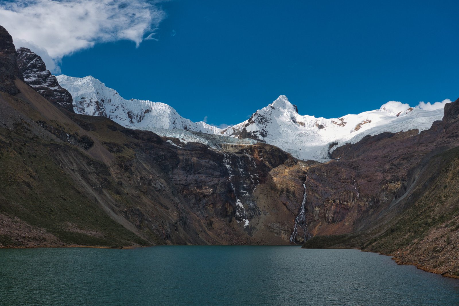
Huascarán National Park
Pt.1: Acclimatisation for Cordillera Blanca
Introduction
11 June 2026 – 26 June 2026
Cordillera Blanca is the most extensive tropical ice-covered mountain range in the world and has the largest concentration of ice in Peru. With twenty-five peaks over 6000m, it is a paradise for technical mountaineering, featuring extremely challenging slopes with relatively simple access and without the headaches of true high-altitude climbing (5-6000m is no joke, but is vastly more approachable than 7-8000m).
I had been very keen to do K2/Broad Peak Basecamps and Gondogoro La in Pakistan Administered Kashmir this summer. When the brief shooting-war broke out last year, however, my attention shifted elsewhere. There is certainly no shortage of appealing destinations and Pakistan is a significant financial investment that would have required more consideration regardless.
There is a wealth of hiking, trekking, and mountaineering options in the region. For this trip, I had decided from the outset that pushing my technical mountaineering skills would be the primary objective and this had significant implications on planning. The Huayhuash Circuit, to the south, is a major draw and would make an exceptional acclimatisation trek. But to do it justice requires 10 days, and that would stretch the total duration too much, and I am interested doing that circuit unsupported – something that would be irresponsible to pursue without solo high-altitude experience first.
Arrival
Thursday, 11 June
In preparation for this trip, I purchased a number of new bits of gear, among which was a 95L kitbag. At the time, I had thought it considerable overkill – I was wrong. I ended up needing to pack nearly my full arsenal of outdoor gear, easily filling the 95L. But total weight was still only about 17kg.
A direct flight to Lima was the best (and cheapest) option, saving some travel time and avoiding needing to deal with US Border Patrol on transfer in Atlanta. Huaraz does have an airport and it would have been possible to fly from Lima. I do enjoy those eccentric flights, with a bonus for flights in the mountains. It never made sense though. While flying was hardly expensive, the bus was dirt cheap, ran overnight (meaning arriving sooner than a mid-morning flight), and got excellent reviews.
Glossing over unpleasantness at the Dutch border (an ever-increasing problem), the F-gates had a festive atmosphere. The gate next door was bound for Houston and there were more than a few groups clearly headed for the World Cup.
Upon boarding, our ageing 777-300 was adamant that it was going to Accra rather than Lima. Multiple system updates later, and it seemed we were going to Ghana!
Most of the flight was over the Atlantic, offering little of visual interest and the Brazilian Amazon was experiencing heavy storms, sometimes creating pockets of significant turbulence. As we crossed into Peru things began to improve though and I was able to catch glimpses of the Iquitos region of the Amazon. Far to high to make out any detail, but the scale of that river really is beyond comprehension. By the time we reached the Andes, skies were crystal clear. For reasons unknown, Suila Grande was the only mountain KLM decided to feature on their in-flight map (still claiming we had arrived in Ghana five hours previously). A fine choice, being the mountain where Simon Yates famously cut the rope on Joe Simpson, though I am unsure of the logic as it is not even the highest peak in its sub-range: Cordillera Huayhuash. As we descended into Lima, the imposing and isolated bulk of Yerupajá (Cordillera Huayhuash) dominated views on the opposite side of the aircraft. The next time I looked out, we were over the infamous Lima fog.
This was my first experience with premium comfort class and it is undoubtedly a significant step up. Whether it is worth the inflated pricetag is another question. But on such a long flight, it was definitely appreciated. 13 hours is an awfully long time to be sat on an aircraft.
Upon landing, I was really wishing we were flying the leg to Huaraz in the morning. I can’t say that I was thrilled with the bus, but it got the job done. Despite large lie-back seats, sleep was very intermittent and shallow due to the continuous acceleration changes required by the hairpin switchbacks of roads in the Andes. Perhaps my middling opinion may also be improved when the bus was not immediately following such a lengthy flight.
Huaraz Acclimatisation
Friday, 12 June – Sunday, 14 June
The bus dumped me at their Huaraz Terminal just after 6:00 and it was a short 630m walk to the AirBnB. I was feeling fairly unbothered by the altitude, but was still sure to keep the walking pace slow – particularly since I was carrying at least 20kg between my kitbag and backpack. The cool morning temperatures were a very welcome change from Lima’s stickiness.
To ensure acclimatisation, the dayplan for Friday was to do nothing at all. The only thing on the agenda was to find a grocery store.
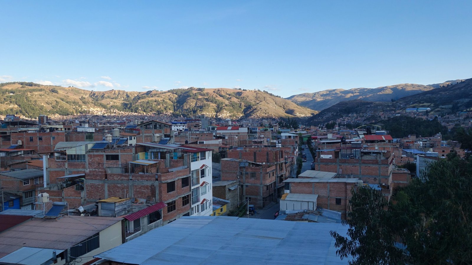
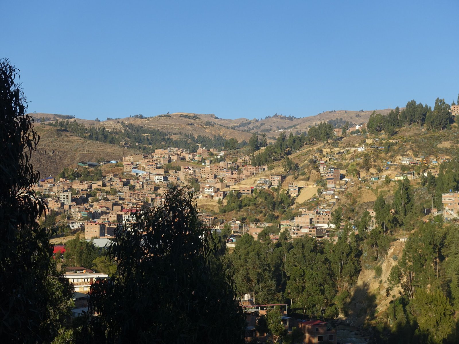
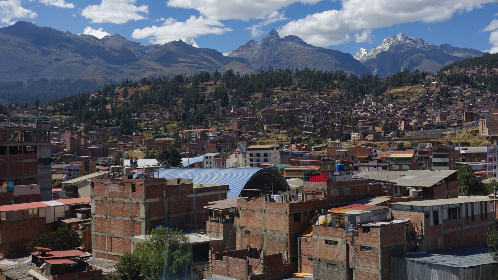
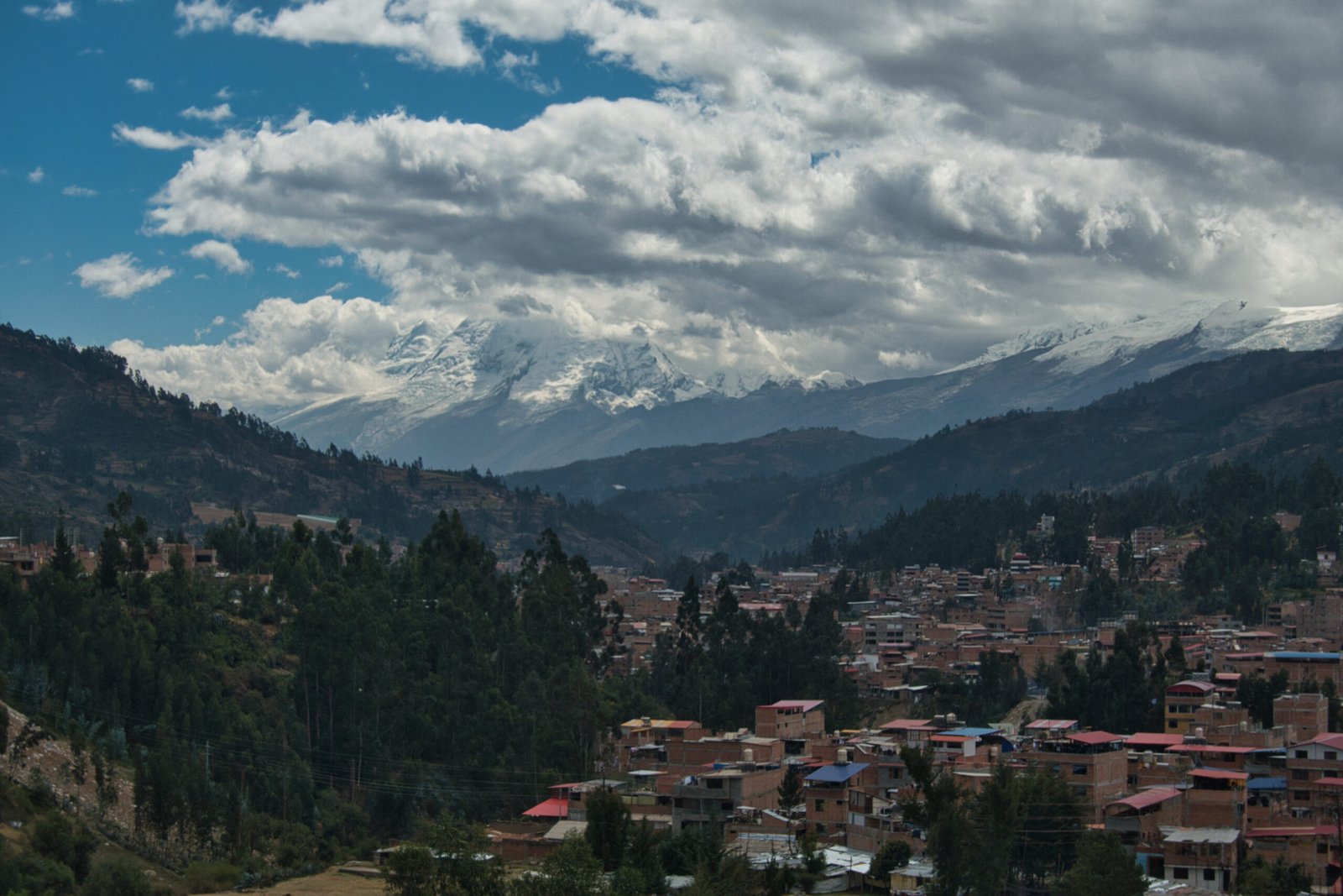
Views of Huaraz from the AirBnB
Similarly, Saturday’s agenda was mostly free. Other than hopefully doing a slightly better job finding groceries, my plan was to do a local walk up a hill on the western edge of town where I would hopefully find panoramic views of Cordillera Blanca towering above the city. Additionally, I needed to do more research into the required collectivos for my solo-hiking options.
I did my walk in late-afternoon. I began by heading to the centre of town via a road lined with small market stalls selling all manner of things, though most common seemed to be whole chickens. It was all a bit much for me, though it had an advantage over Kathmandu in that I was not being constantly accosted by people who just would not take a firm ‘no’ for an answer.
Unfortunately, just as I was reaching the start of the path I wanted to take above town, I encountered two very aggressive small dogs. Up until then, there had been numerous dogs, but none showed me any interest at all, much less aggression. These two were sufficiently nasty that I decided that I had enough for the afternoon – I was not carrying anything I could use as a deterrent. Fortunately, I was at a point where I could get a lower version of the same view I was after. The peaks were less visible, but it was still a nice panorama. I could just make out two peaks that I had considered at some point during planning: Vallunaraju Norte (5686m, PD) and Tocllaraju (6034m, D).
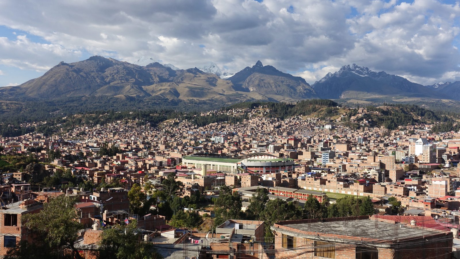
Above Huaraz, looking toward southern Cordillera Blanca. The sharp, rocky peak in the centre-foreground is Rima Rima, with Nevado Churup to the right and to the left is Vallunareju Norte, and Tocllaraju.
As I was cooking dinner, I noticed quite a vibrant sunset!
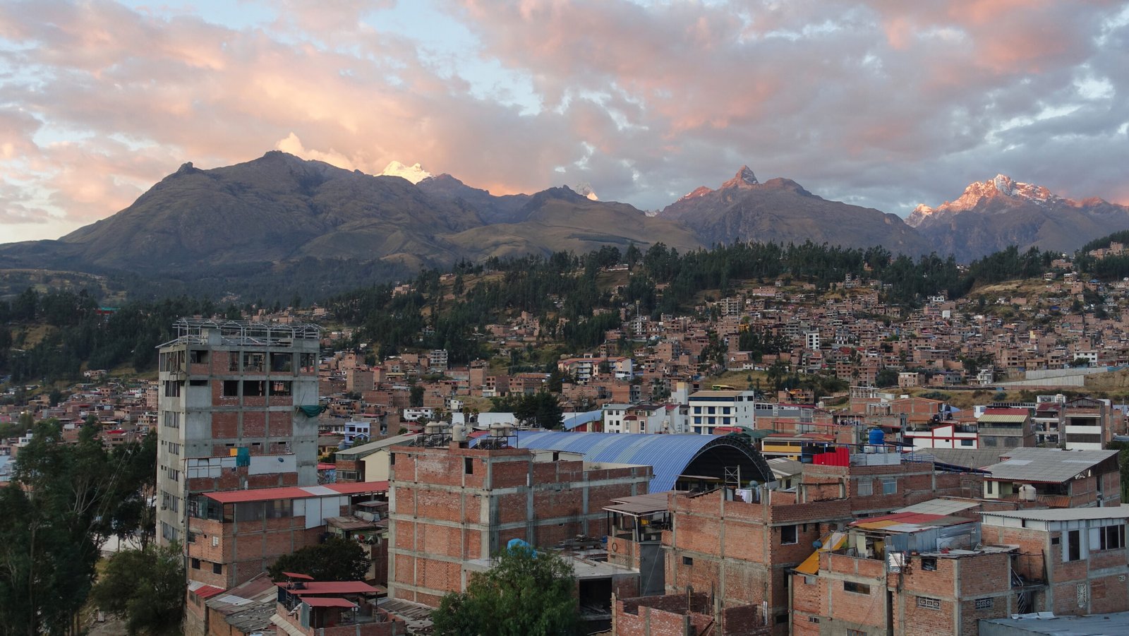
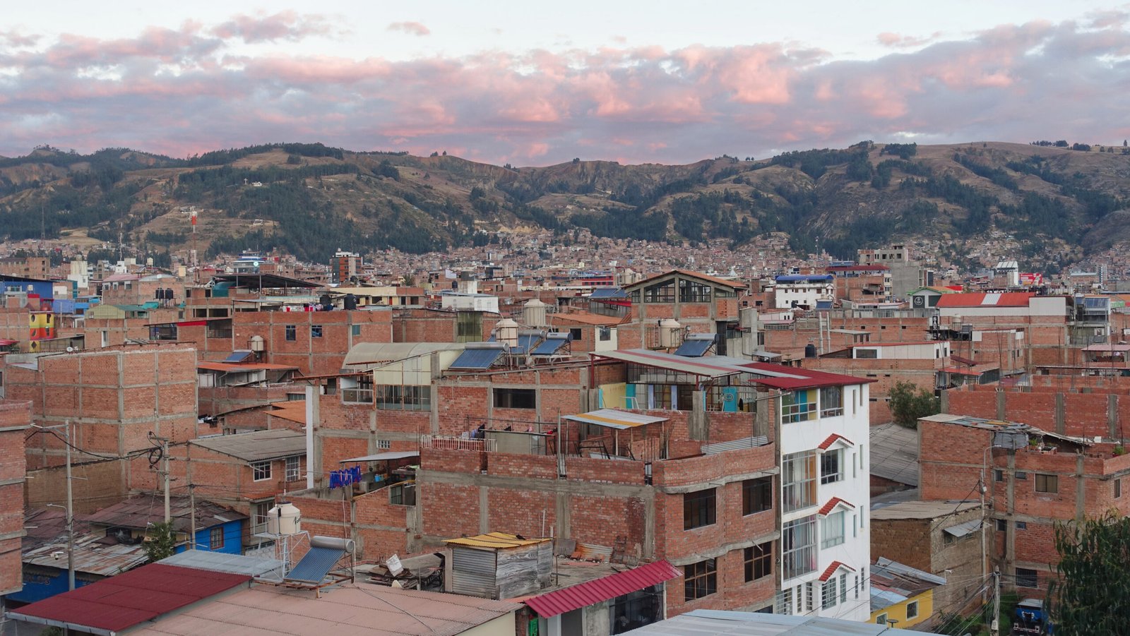
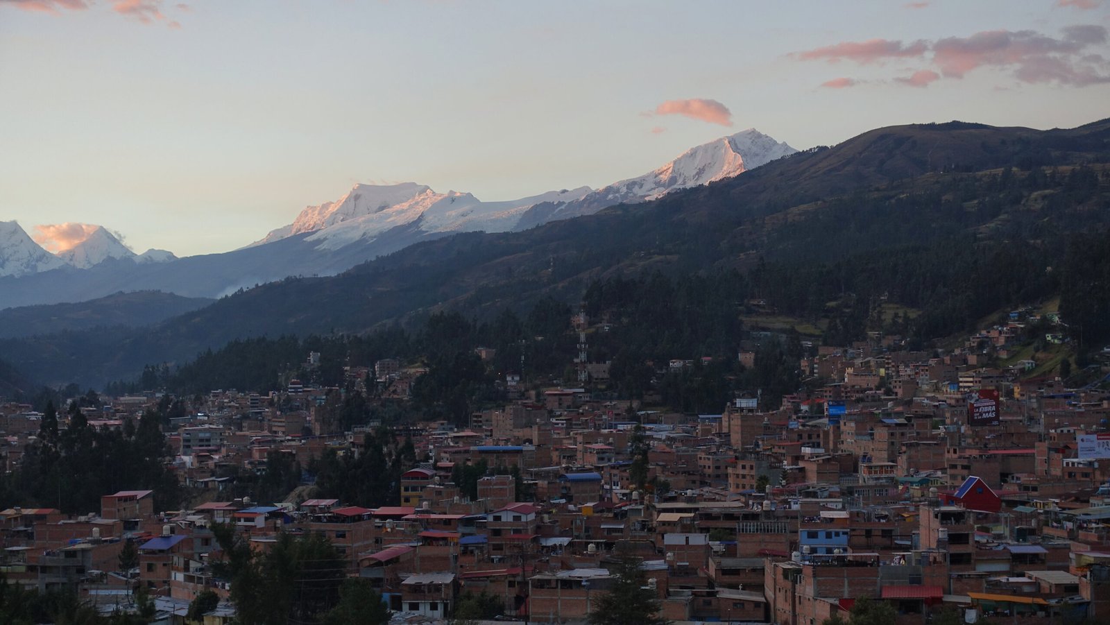
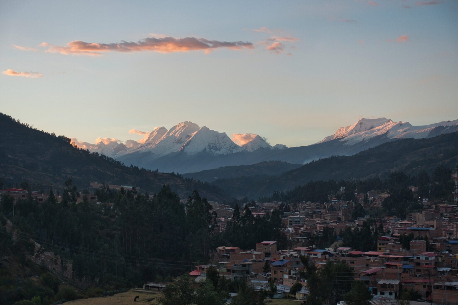
Sunset on Saturday, from the AirBnB
I was on the fence as to whether I should start hiking on Sunday or Monday. I had no altitude problems in Huaraz, but all potential hiking options would be adding a minimum of 1500m of elevation and that is very non-trivial, even if I would be descending to sleep. More crucially, I was still behind on sleep and was generally not thrilled with the requirement of commuting into the hills via collectivo for even basic hikes.
Ultimately, I opted to stay in town another day. There was more logistical work to do regarding the collectivos and an additional ‘climb’ I wanted to add. I attempted to visit the local archaeological museum around midday. According to the hours, it was clearly supposed to be open, but it was very clearly closed.
Laguna Churup
Monday, 15 June
The obvious choice for first acclimatisation hike was Laguna Churup, a lake sitting at 4450m, immediately below Nevado Churup. This is the hike used by all organised trips and recommended by every outfitter too. The transportation is quick and easy and the hiking distance moderate. I can’t say I was particularly enthused for the hike itself, but it would be an important step toward more interesting objectives down the line.
I had arranged for a collectivo to pick me up from the accommodation at 8:00. It was about 30minutes late, though that is nothing to get too excited about, particularly since they were likely supposed to be picking up several others at 8:00 too and I happened to be the last.
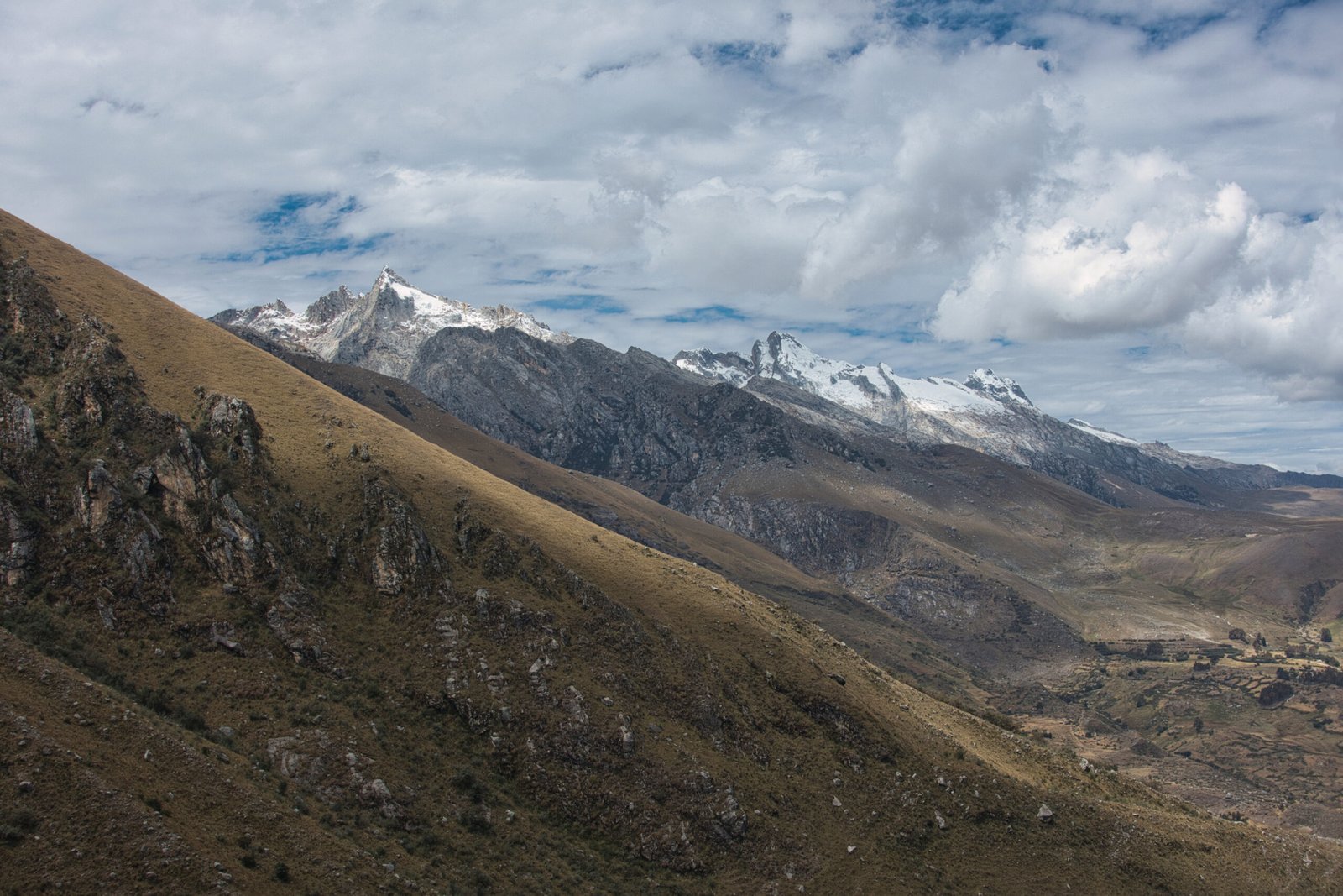
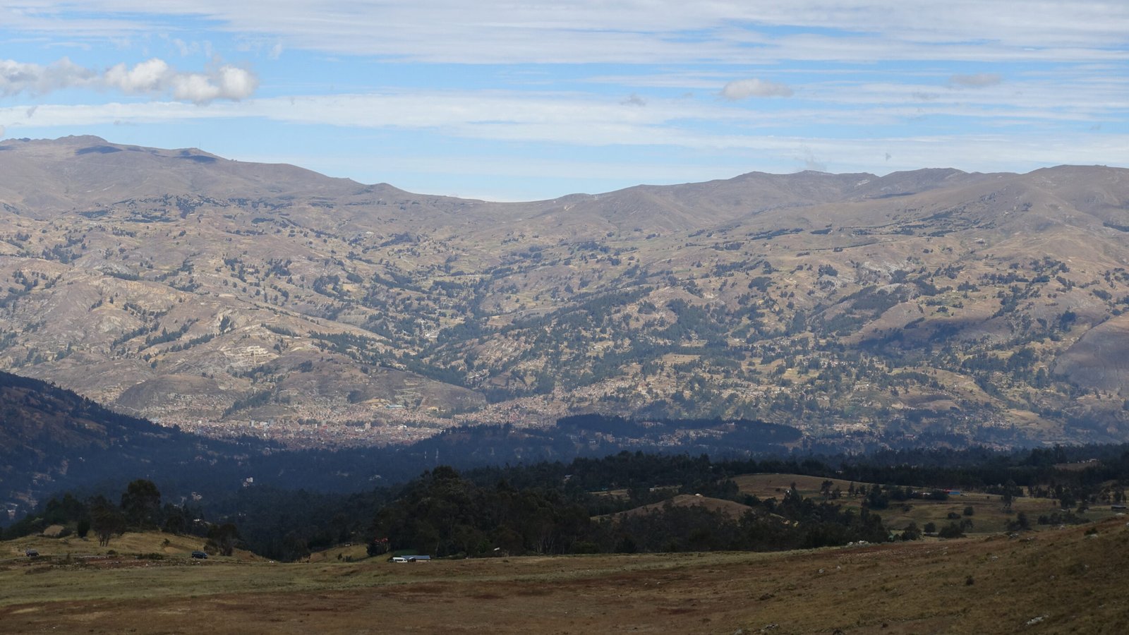
Views from the way up
The initial few hundred meters up the trail were a little worrying. I was definitely feeling more sluggish (altitude) than expected. Fortunately, I was able to find my rhythm as things progressed – though moving at a pace that I would normally find abhorrently slow, of course. For most of the hike, I had views of the rolling hills on the other side of town – not really my thing, but pleasant nonetheless.
On a different day, it may have been fun to scramble along the southern ridge above the Laguna. At this stage of my acclimatisation journey, that did not seem like a smart idea though. After the initial worry, I had been feeling fairly solid. I was moving slowly, and definitely felt it when any kind of actual effort was required, but no symptoms to be concerned about.
I hung around at the top for a bit, but was thinking about the return journey. The collectivos run roughly every hour (though they wait until full). After about half an hour at the top, I was thinking timing would be just right for the first trip back. Perhaps I should have stayed longer for acclimatisation reasons, I did have my eReader. I’ve never been one to just hang around, and can’t imagine that an extra thirty minutes, or even few hours, would make much difference to my acclimatisation.
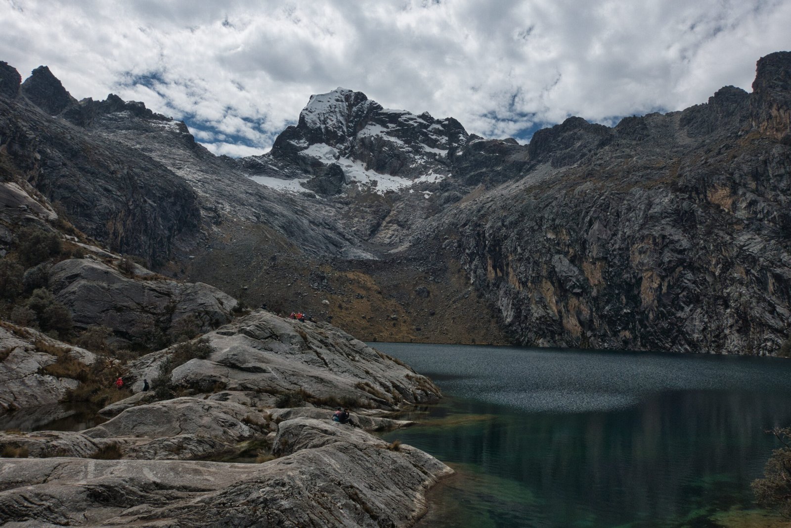
Laguna Churup
I timed my return just about perfectly. I arrived back to the carpark at just about exactly 13:00. One more pair arrived shortly after and we were off, back to town.
It may not have been a day that will stand out in the memory, but it was good to get out and an important acclimatisation step.
Nevado Mateo (5150m)
Tuesday, 16 June
As I was researching which exact collectivo(s) I would require for my plans, I came across a trip up Nevado Mateo for about 60EUR. Mateo is hardly a peak, barely qualifying as a technical point on the way up Nevado Contrahierbas (6036m). Given the low price-tag and my general apathy toward most day-hike options, it seemed an excellent opportunity to acclimatise with exceptional views in a different part of the range though. Given how straightforward the ascent appeared, it seemed massively overkill to have a guide but a lack of transportation would have killed off any independent arrangements, regardless. Assessing beforehand, if I were with a partner, we almost certainly could have knocked out the ascent independently. Glacier mountaineering is generally not advisable solo though, no matter how straightforward the route.
A 03:00 departure featured a little more drama than anticipated. The company was to pick me up from my accommodation but they were running considerably later than the phone confirmation that was made at 02:45 – expected pickup in 20 minutes. Of course I have no mobile data in Peru so when they were about 30minutes late I started running back inside to check if there were any messages (takes a while when on the 7th floor). Eventually we found each other and it was off for the two hour drive, terminating at the highest tunnel in the Americas (Túnel Punta Olímpica, 4736m).
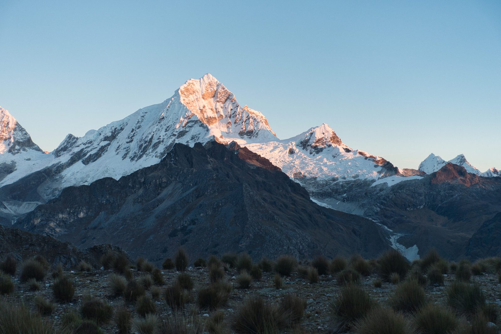
Alpenglow on Chopicalqui as we begin. The dual peaks of Chacraraju are in the background.
After a section of very easy scrambling, we roped-up at the glacier, dividing into three groups of three, plus guide (IFMGA certified – talk about overkill!). The glacier was a tad steeper than expected for such a beginner objective, probably 40degrees. But it is very well travelled so there is a trench to follow and no crevasses to worry about. In no time at all, we were at the ‘top’.
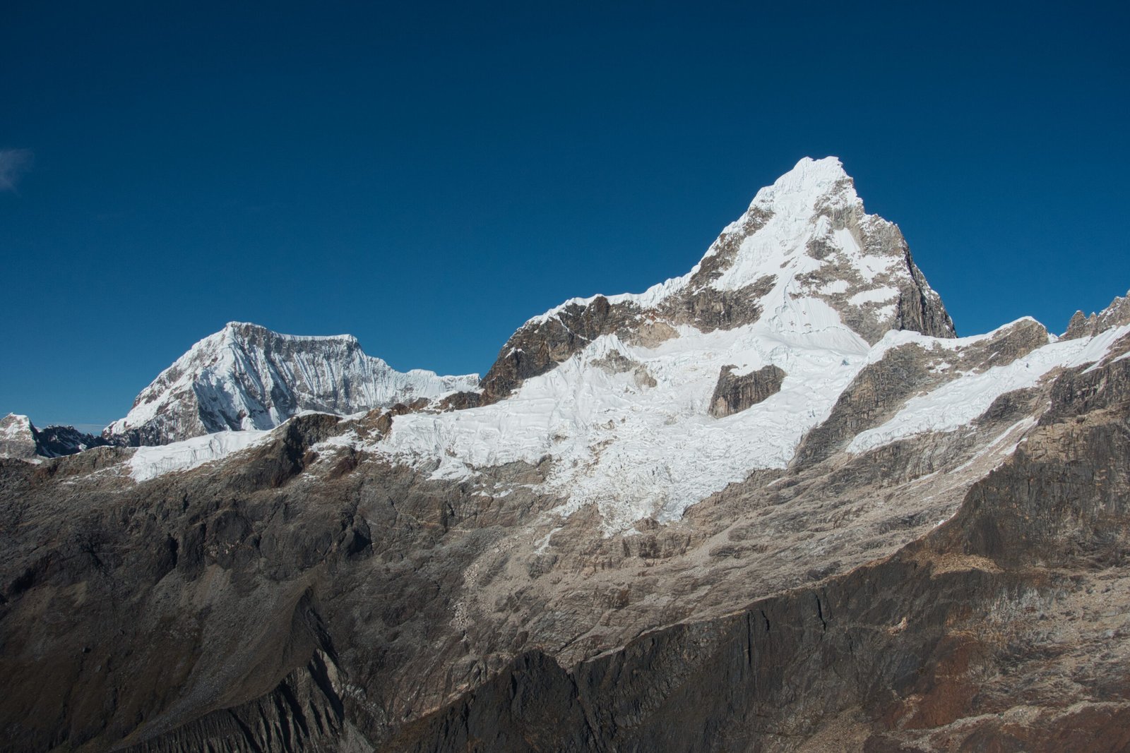
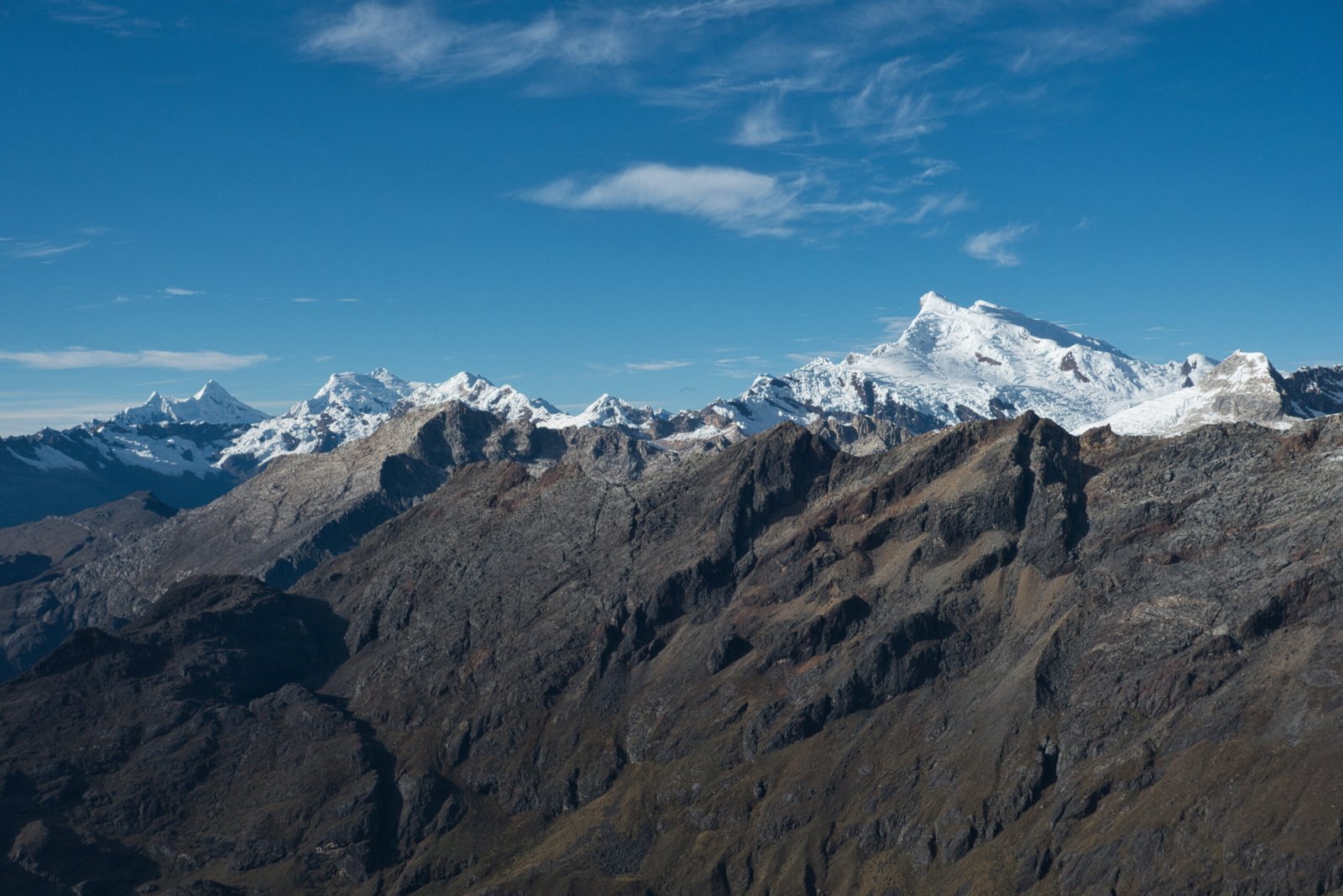
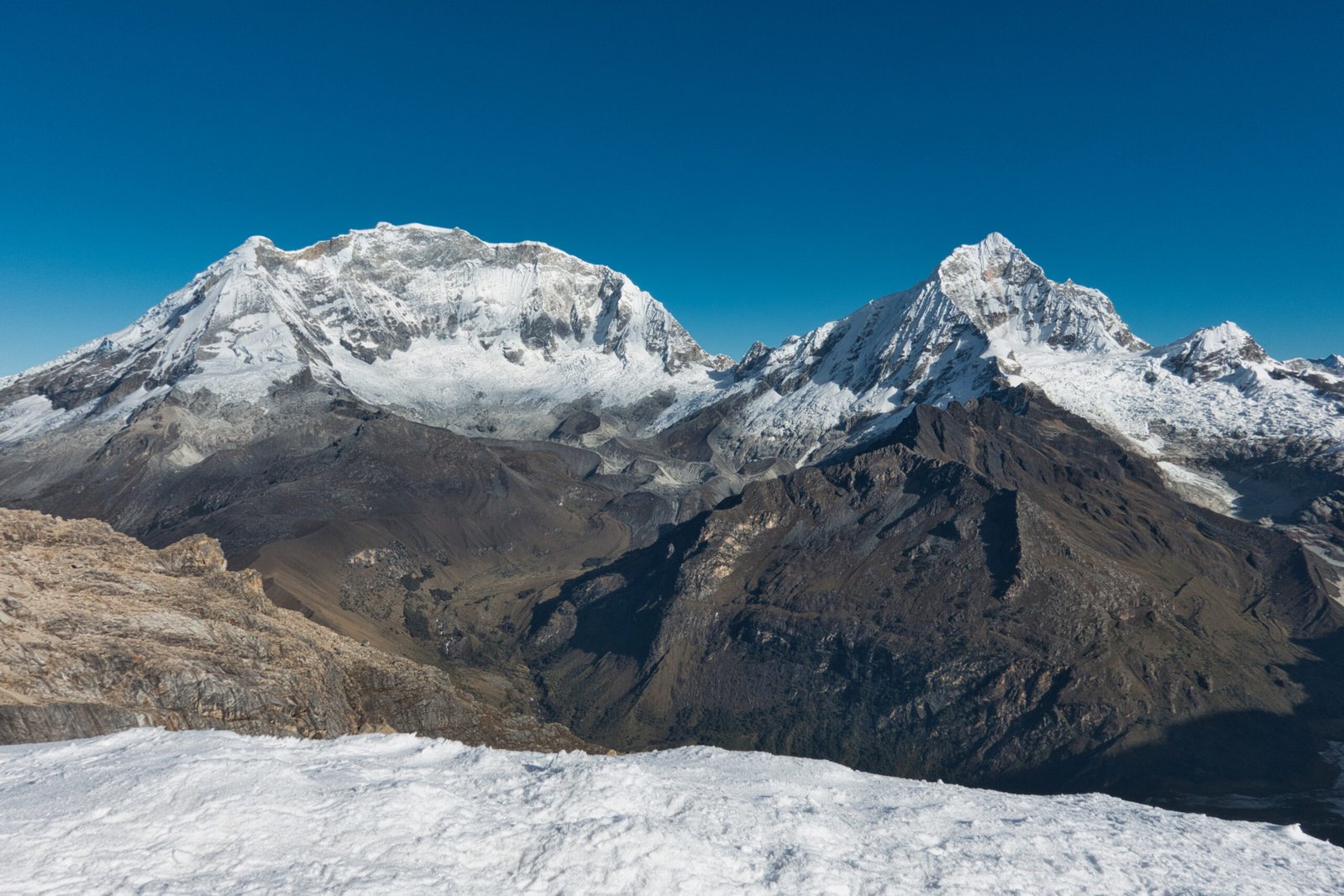
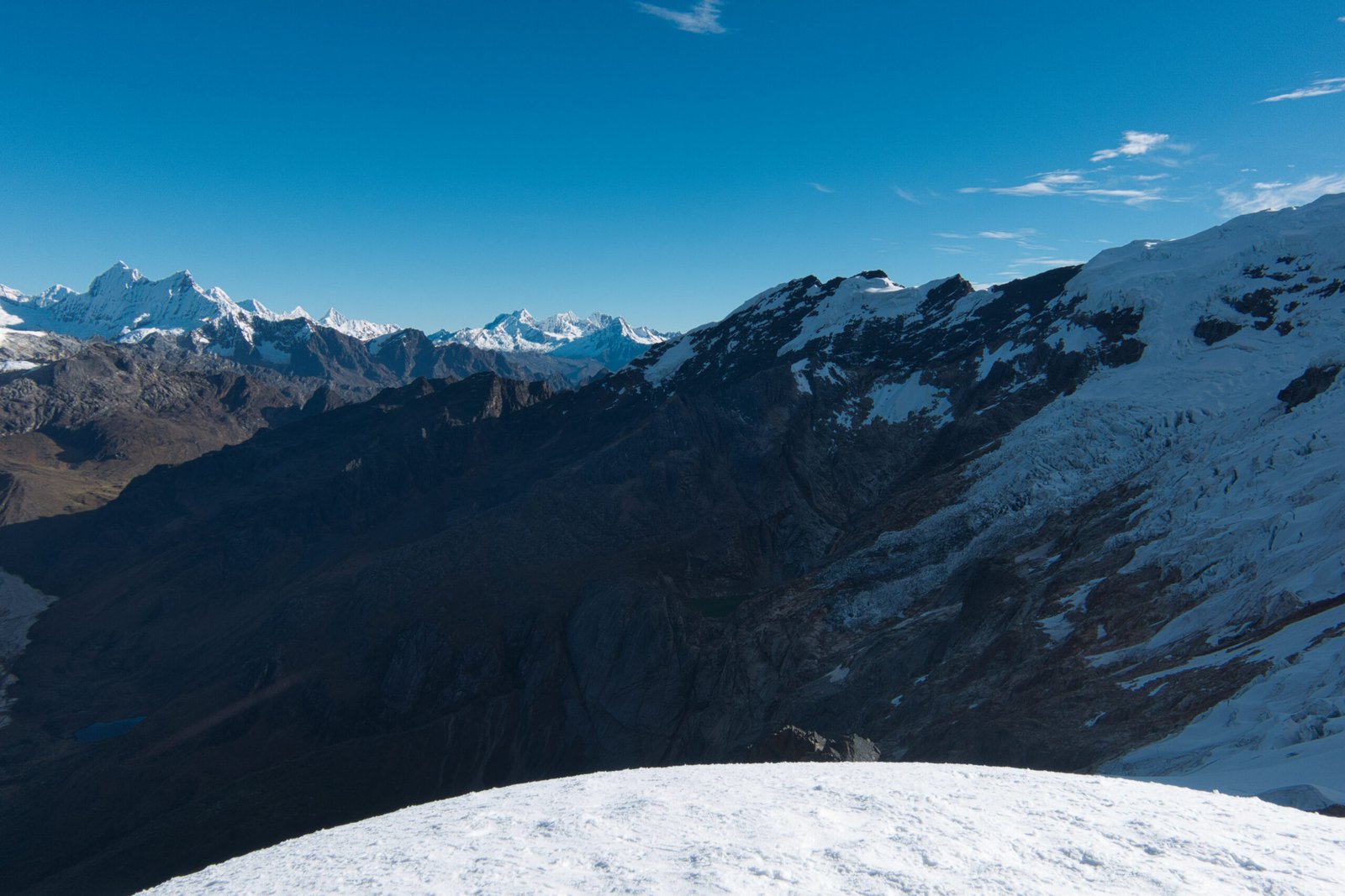
Summit (technical point?) views
360 degree summit panorama from PeakVisor
I was front for the descent, which was nice. Though it did involve a lot of dodging rope teams on their way up. At the guide’s suggestion, I took us out of the trench, but one of the others was having trouble so we reverted.
My rope-team was the first back by a longshot. It would be about a 1.5-2hour wait for the other two teams from my van. As I waited in the carpark, I was treated to a moderate avalanche a few hundred meters away.
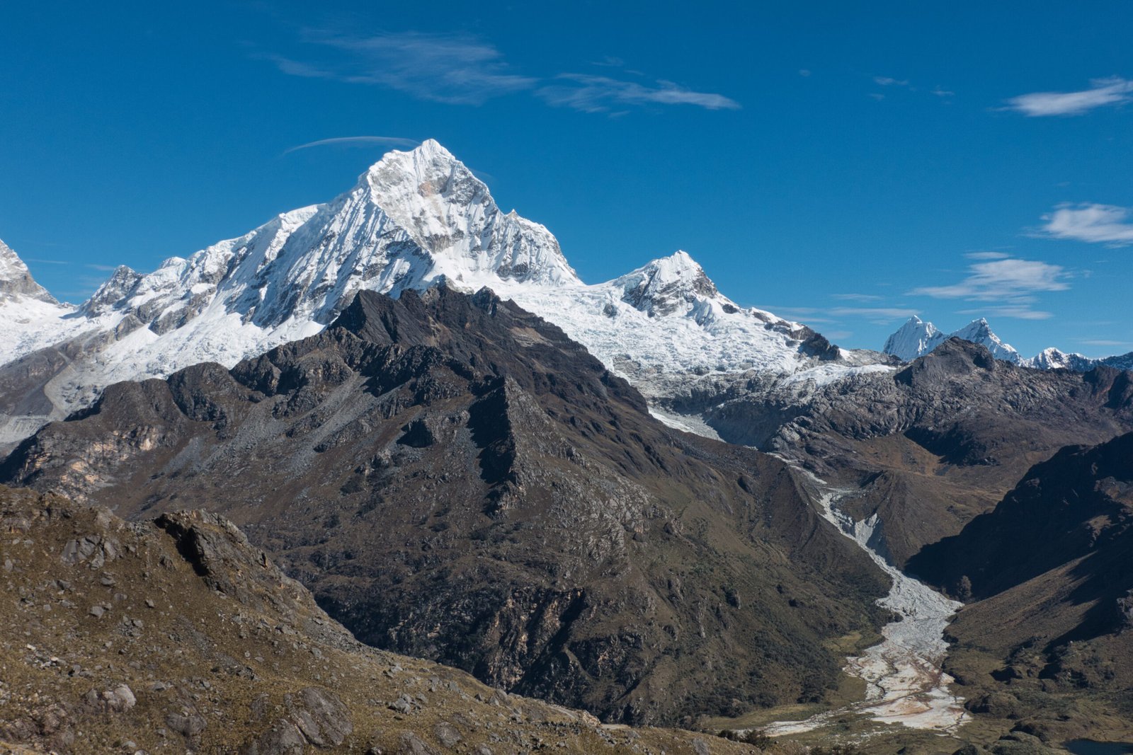
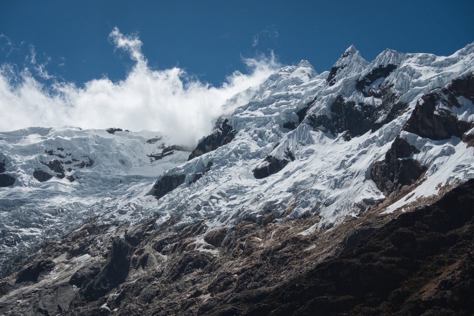
Views to the north from the lower sections on decent
Unfortunately, the return journey was horrendous. The van was at absolute max capacity, it was hot, and the Andean roads feature very regular hairpin turns rockfalls and drainage ditches. One girl as sick from basically the moment we left. Not sure if it was altitude related or motion sickness – quite possibly both. Then there was the traffic in Huaraz. And finally, I still had an unpleasant 20minute walk back to the AirBnB from where we were dropped – at least I was expecting that one. The return ride really put me off the collectivos.
Ultimately, I absolutely could have done this ‘climb’ solo. You don’t know until you get there though, and glaciers, particularly in Cordillera Blanca, are not something to gamble on. Besides, I would have no way of getting there and back solo. As for my overall thoughts on the day, that is challenging. The primary goal was acclimatisation, and it worked a treat on that front. I had no symptoms to report other than feeling more sluggish than at sea level (but not unduly sluggish). The views were excellent value for the effort involved, easing into the glacier work certainly wasn’t going to do my real objectives any harm, and I got a soft intro to working with a rope-team of strangers. However. The wait-to-activity ratio could not have been much worse and the return van ride really was off-putting.
Quebrada de Quilcayhuanca
Wednesday, 17 June – Thursday 18 June
Since one of my secondary goals of this trip was building high-altitude solo trekking experience, it was important to get out for at least one solo overnight outing.
The Santa Cruz/Alpamayo Basecamp Trek is the classic Cordillera Blanca 3-day trek. A fine offering, but very crowded and beyond Punta Union, there did not seem much to draw me. It also demanded a very lengthy collectivo ride in and out, involving at least one transfer if organised independently. Instead, I targeted Paso Huapi, immediately outside Huaraz and connecting Quilcayhuanca and Cojup: the two valleys that Nevado Churup separates the heads. A blogger who coined the ‘Cordillera Blanca Traverse’ described the section including Paso Urus, Paso Ishinca, and Paso Huapi as the finest section of the entire range so I figured I would be in for a visual feast.
I was wishing I had one more day before the climb though. I really wanted Friday to be a full rest & prep day. My initial plan had been to do the pass in two days. At normal altitudes, no-problem, but seemed pretty unrealistic given the altitude. Add in being tied to collectivo schedules and I decided I needed to shift to three days if I were to do the pass. I left the duration question for later.
The collectivo apparently increased the price on a random mid-week day by s/5 and changed their return trip times to be shifted an hour later. Hardly a big deal, but very strange. Regardless, I was picked up at 9:00, but this time I was driven to their office were we waited for the van to fill.
From Pitec, I had a 2.5km walk on the road to reach the start of my hike proper. Early on, I passed a gentleman washing his car in a drainage ditch. When I was about halfway to the park entrance, he drove up and offered me a ride. I gathered that he was waiting for someone out hiking.
Early stages of the hike felt like I was walking up the bottom of a dry fjord – I suppose that is probably geologically just about exactly what I was doing. After a few kilometres, I ran into an older Englishman headed out with just a daypack. Apparently his daughter was hiking the Laguna and he had joined for the initial stages. I would guess that he was the one the driver was waiting for. I met her roughly where the route splits between Maparaju Basecamp and Laguna Tullparaju.
I was extremely hesitant to take water from the area. Ignoring the livestock pollution, I had read about heavy metal pollution in the waters of Cordillera Blanca due to mining operations. I had read no specific warning about this valley, but rocks around the river were an extremely vibrant red colour. Red would indicate iron rather than anything particularly sinister, but I still did not want to take water unless it was absolutely necessary. I made due with the 3L I brought and upon return, did additional, targeted, reading. My suspicions were correct: natural iron coupled with natural oxidising conditions (both related to the glaciers) led to the colour.
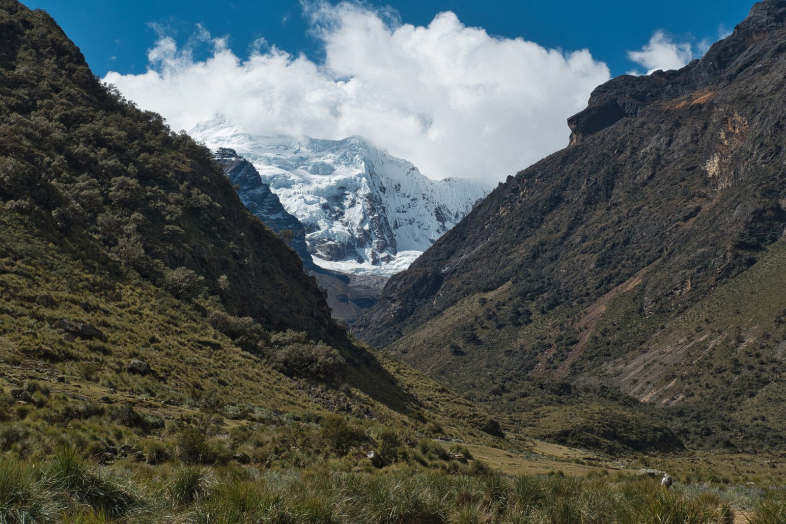
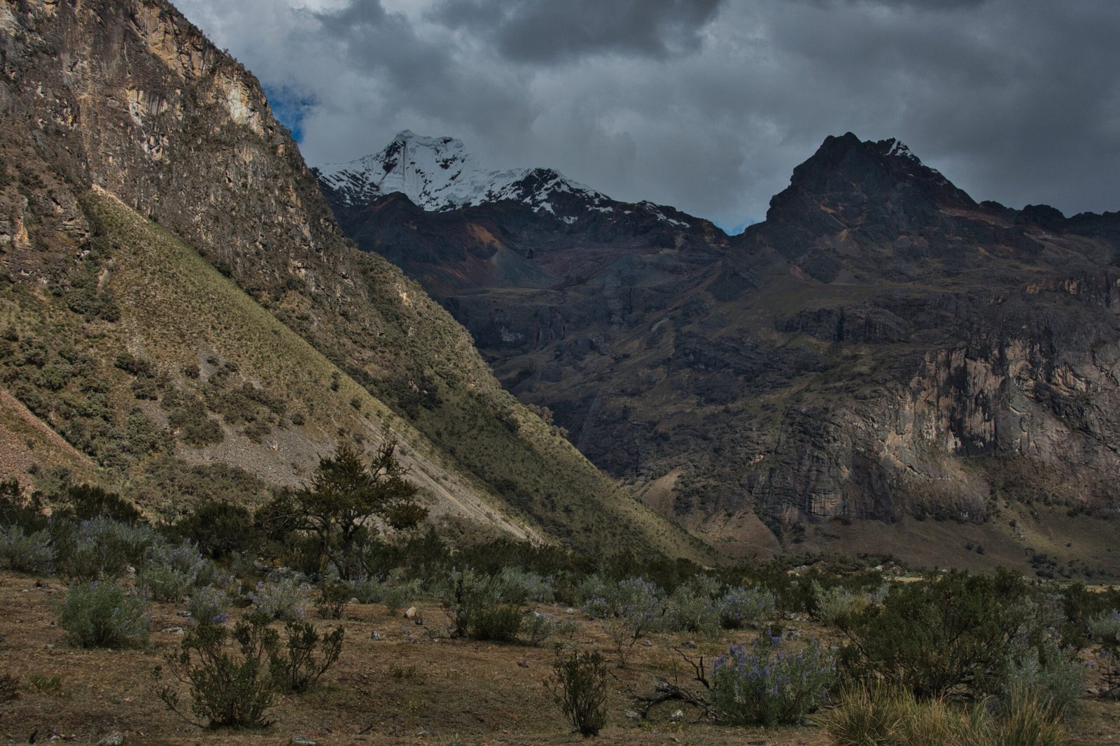
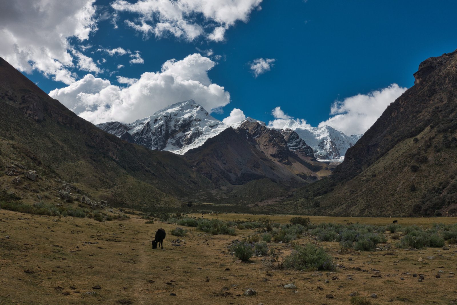
Views of the upper valley
As I approached the laguna, I ran into the daughter again, heading the other way. Apparently it was too windy for her, but there was space for one tent. Actually, there were two sites. I thought there was a bit too much litter and cow droppings at the ‘best’ site, on a little platform overlooking the laguna, so I set up camp at the lower site among the shrubbery on the shore. You really can’t do much better than that for a campsite!
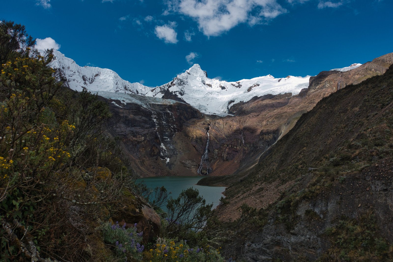
A cow came by to say hello as I was settling in.
Unfortunately, cloud rolled in just for sunset so I did not get any interesting lighting on Tullparaju. I went to sleep to the sounds of crashing ice and cascading water.
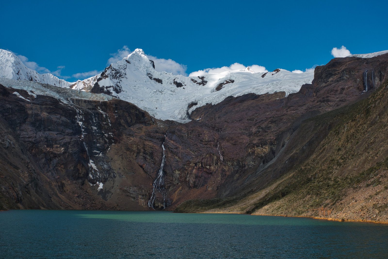
Campsite views
Waking, I found that my tent had absolutely horrendous condensation. Checking the exterior, it was also completely frozen. I had noticed that the AirBnB had very heavy condensation on the windows every morning, but did not think too much of it. My tent is small and definitely has had condensation issues in the past, but absolutely nothing like this (I would later discover that even 4-season mountaineering tents have non-trivial condensation problems here, so I can’t blame my sleeping system too much). I had intended to have a bit of a lazy morning before committing to the day’s direction, but it was pretty unpleasant to be constantly brushing against wet walls. With the condensation problem, the decision on direction was basically made for me. It would have been an unpleasant second night with a soaking tent (it does dry out quickly in the sun, but then you’re counting on favourable circumstances down the line) and I wanted to be absolutely sure my sleeping bag, in particular, was fully dry going into the climbs. On the positive front, no signs of AMS.
I started back down the valley at about 7:30.
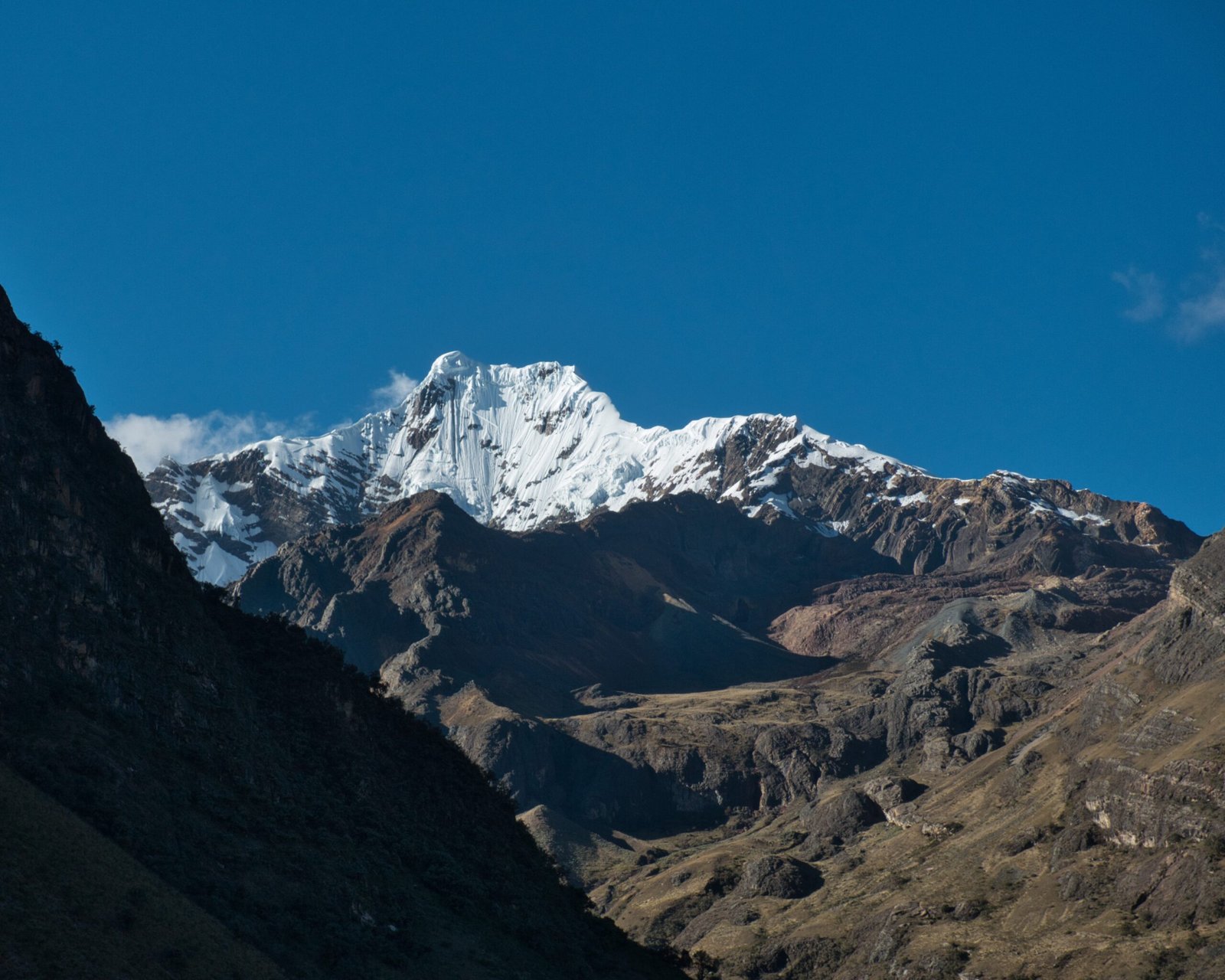
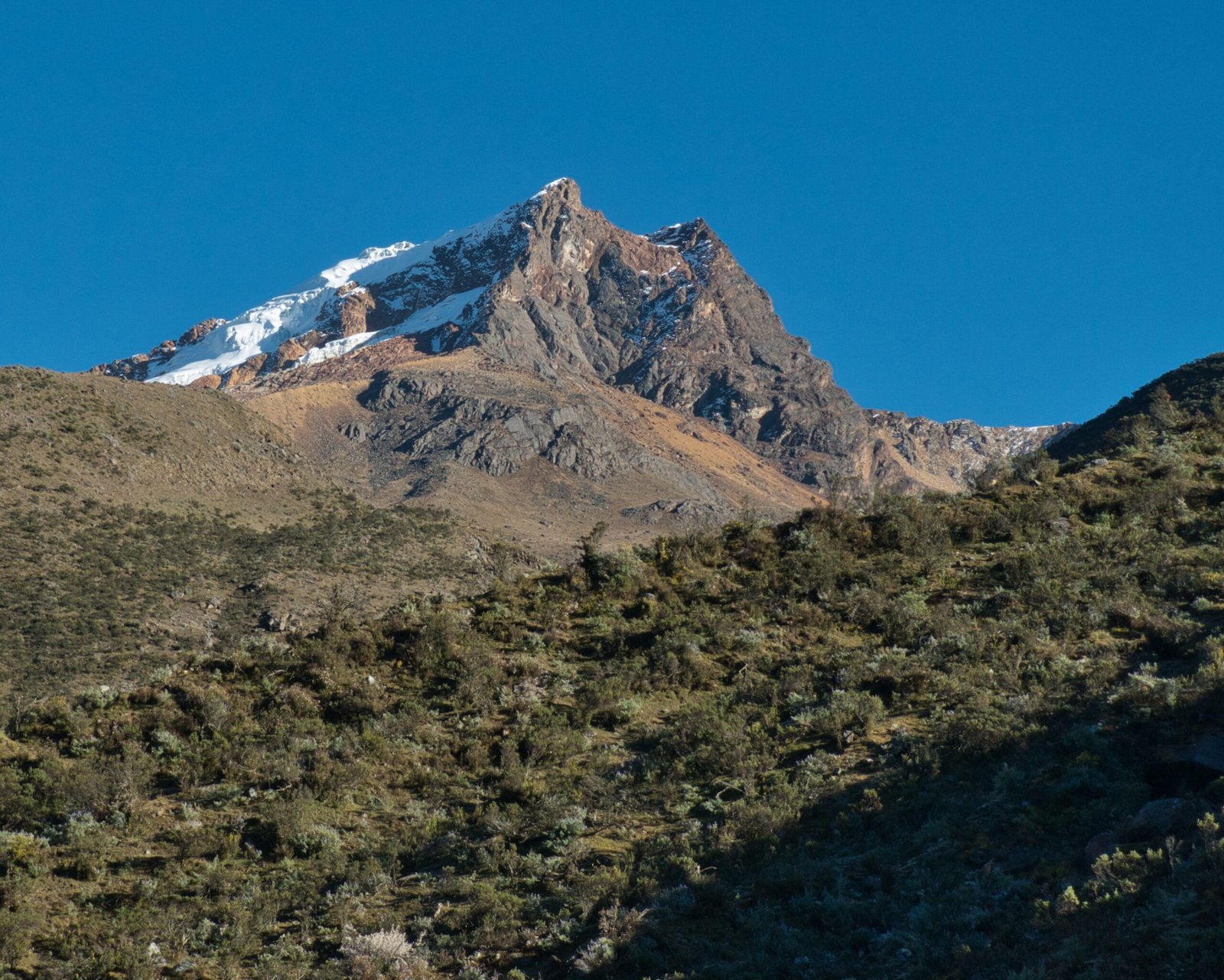
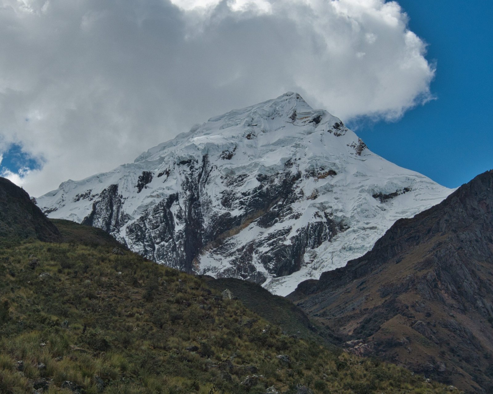
Assorted peaks along the way out
A bit of belated justification, but based on the sun positioning, I was guessing that I would have really struggled with views/photography on the pass. Really just trying to make myself feel better about the decision though.
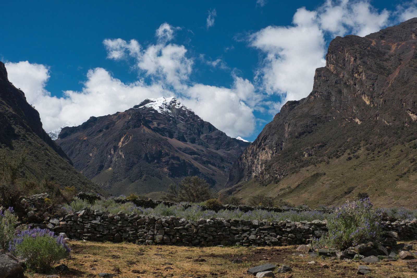
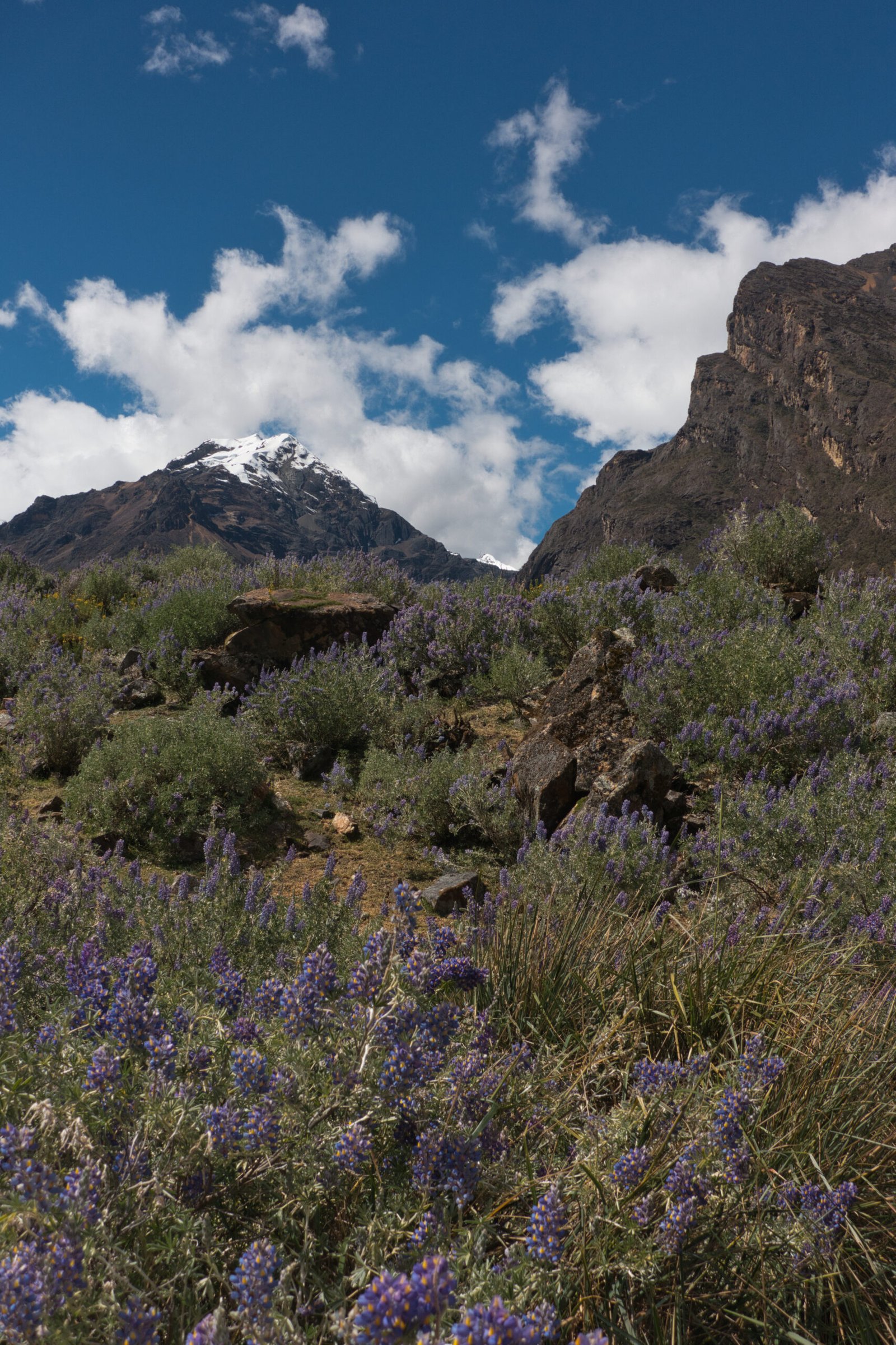
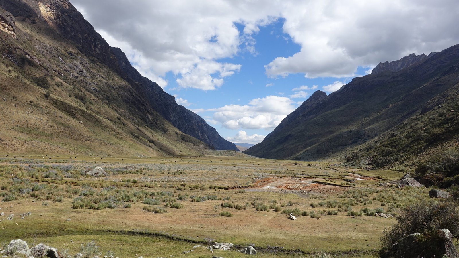
I was back to Pitec a little after noon. There were already three people waiting for the collectivo. It would be a long wait though, we finally had enough people to fill the van at about 13:40. Fortunately, I had my eReader. Perhaps I should have continued up toward Maparaju Basecamp but I wanted to be sure not to miss the last collectivo back to town.
What to make of this outing. This route was billed as a quiet alternative to Santa Cruz or Ishinca Valley, and on that front it absolutely delivered. Views in the upper valley really were quite pleasant, though I missed the pass. I did not see everything I wanted to, but there were valid reasons for cutting things short and I did still accomplish my primary goal of gaining experience with unsupported high-altitude camping. At low-altitude, I could easily have knocked out the pass with a single overnight, but at low-altitude it would be a very different experience all around.
Rest Day
Friday, 19 June
Having chosen to cut the trek short, I retained my rest day. Likely a good decision. I wasn’t massively fatigued, but I had a few very big days with little to no sleep ahead (scheduled 3:00 start for Yanapaccha, and terrifying 00:00 start for Pisco). Additionally, I would just have been massively scrambling to get everything together had I arrived back from the trek mid-afternoon on Friday.
A squall blew through around dinnertime. A very rare dash of rain and some pretty serious wind. I could only hope that it would blow over by the morning, or at least the following evening.
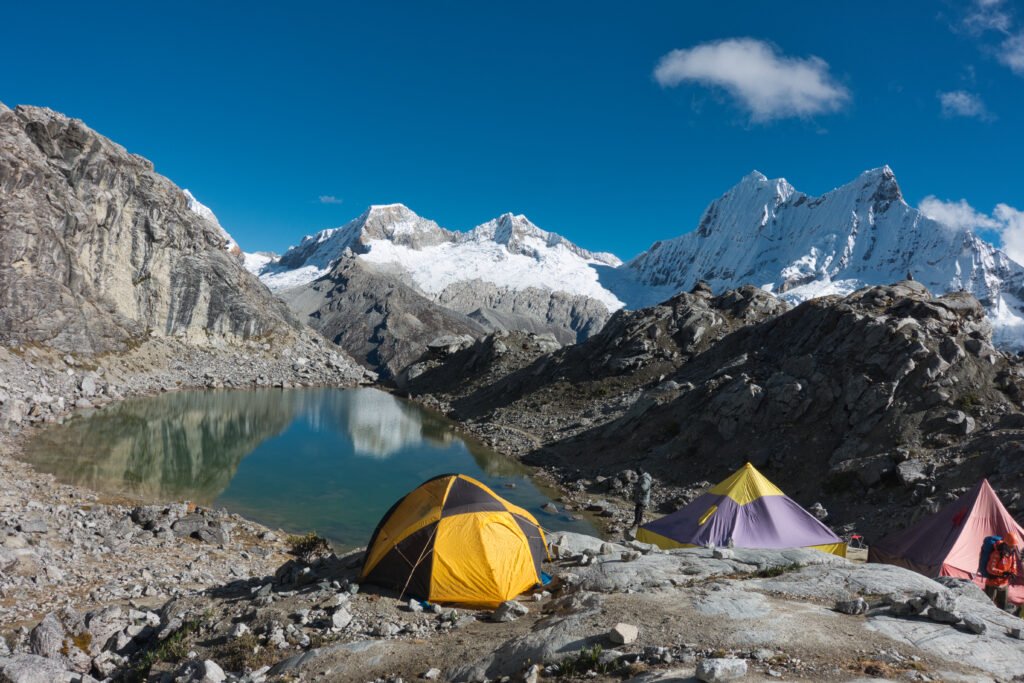
Continue Reading with Pt.2
Afterwards
This was a relaxed start to the trip. I got some pleasant, if unremarkable, hikes in and had no altitude issues to note. My only potential critique was that perhaps I should have added the third day to the Huapi trek instead of doing Navado Mateo, but that is 50-50. I was glad to have ‘real’ objectives to come though. While Huaraz is a gateway to a plethora of exceptional options and the AirBnB made a nice place to relax with dramatic views, the town itself offers little and noise was a continuous problem for me.
Some general notes:
- The sun in Cordillera Blanca is murderous. Both on the skin and for photography. The sun-shirt continues to pay for itself and I avoided any real sunburn. As for photography, I can only say that I am amazed that the photos turned out as well as they did. I was forced to learn a lot about basic RAW processing.
- Temperatures were surprisingly warm for the altitude. Even Uganda was colder (or at least felt colder – rapid ascent does induce anapyrexia and I have accurate temperature data for neither trip). Even above 4500m, hiking in a (light) wool t-shirt and sun-shirt was generally more than adequate.
- I learned a lot more about acclimatisation and unsupported hiking at altitude. Most crucially, I am definitely fully capable of it. However, the combination of gear and altitude significantly slow the pace and sometimes a little support can be very helpful to improving the overall experience, particularly if solo-unsupported.
- Despite what the forums/guidebooks/outfitters will tell you, Huayhuash is fully on the trekking map. Sure, it hasn’t reached Everest-levels of popularity, but it certainly isn’t ‘undiscovered’. The Huaraz was crammed with people acclimatising for that trek.
Footnote
All photos are exclusive property and may not be copied, downloaded, reproduced, manipulated or used in any way without permission of the photographer.
Favourite Stories

Leave a Reply