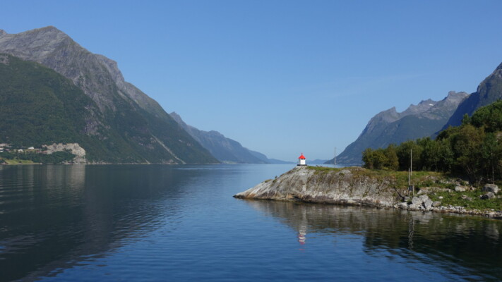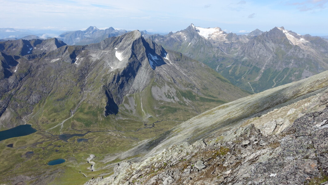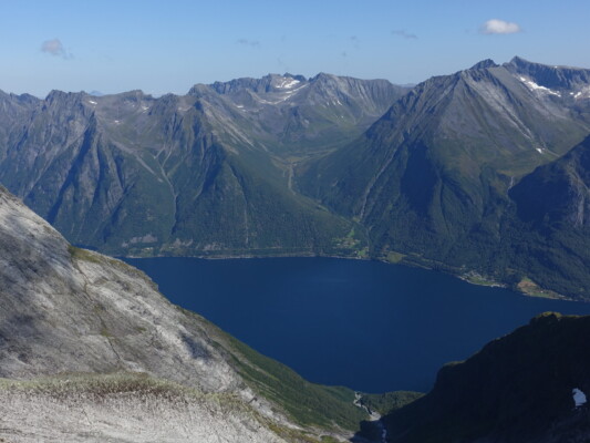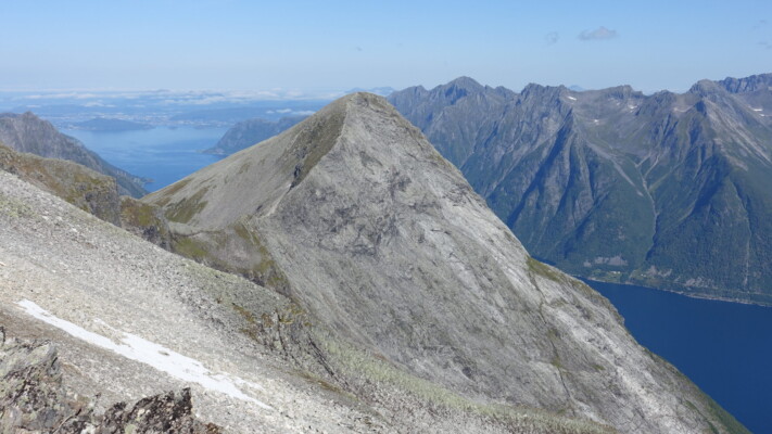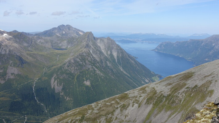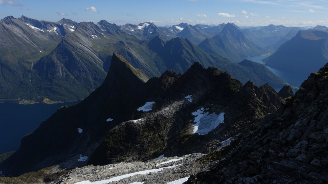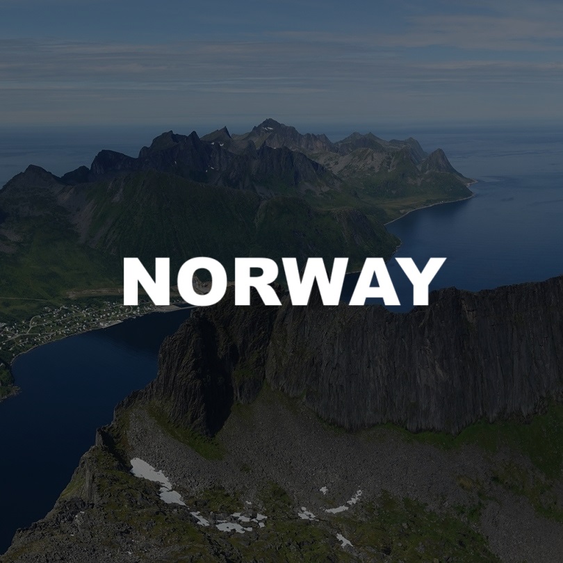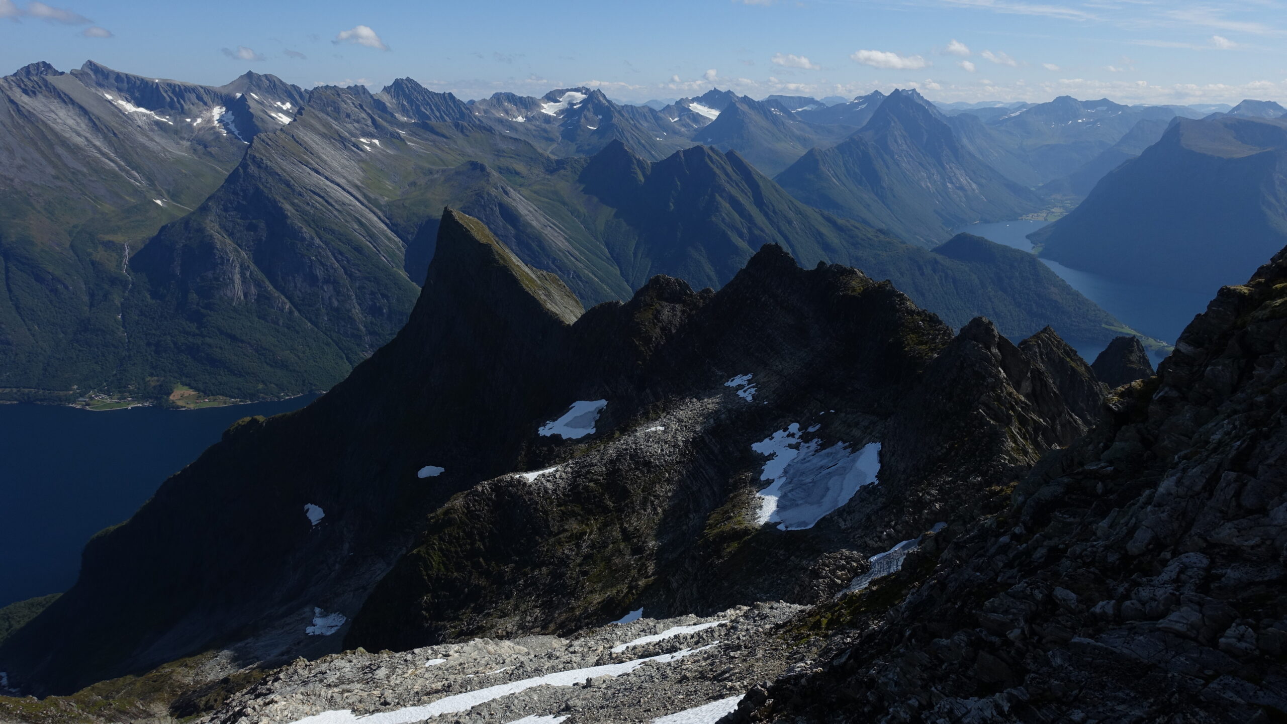
Hjørundfjorden
Introduction
1 – 6 August 2024
Having blown my annual travel budget on a mountaineering expedition in Khumbu, I was due for a quiet year trying to settle into a new job and new province. Due to the housing uncertainty, in particular, I had not even been able to fly out to Minnesota for my sister’s wedding! Fortunately, my mum came to the rescue by inviting me to join her on a mini-break to Norway between two conferences she was attending.
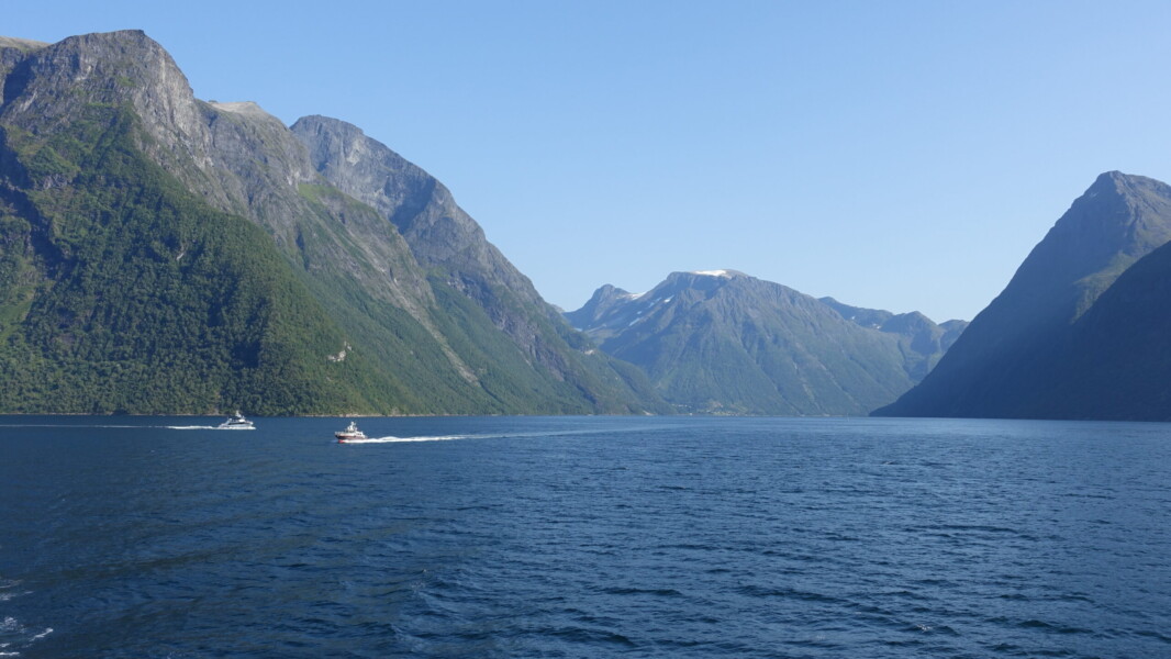
We bounced between several possible destinations. I pushed for Lyngenhalvøya, but Kvaløya or Nusfjord were the initial frontrunners. Ultimately, travel logistics related to a short duration and rigid dates proved decisive and a return to Sunnmørsalpane was the final selection. Home to dramatic mountains and Hjørundfjorden, one of Norway’s finest fjords, Sunnmørsalpane has long sat near the top of my Norwegian wishlist. In fact, this would be my fourth attempt at the region. The first attempt was a solo wildcamping trip, cancelled at the eleventh hour due to rising Covid cases back in the Netherlands. The second was the first half of a Christmas trip, but we were treated to heavy rain and a Covid spike in Southern Norway. The third attempt was a solo wildcamping misadventure, let down by poor weather and terrible luck, but salvaged with a spectacular sunset my final night in Ålesund. I was hopeful that with this trip, I would finally be able to banish those demons and accomplish my scrambling goals.
Arrival
Thursday, 1 August
Unfortunately, the initial signs were not in our favour. Before leaving for the airport, I received an email from my mum stating that she had seriously hurt her back and that her first flight of the day was significantly delayed, to the point where she would almost certainly be unable to make her connections. In the end, she managed to get KLM to rebook her on my flight, direct to Ålesund instead of having to route through Oslo. Her back would be an acute problem throughout though.
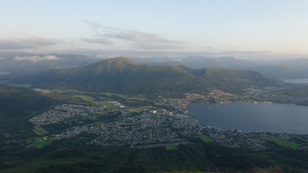
We would be staying in Ørsta and the drama still wasn’t over upon arrival. We had a nightmare getting into our AirBnB, only to then discover that there was no water! Once we were finally inside and with running water, I set off to take advantage of the clear skies and catch the sunset from the local hill: Vallahornet, a subpeak of Saudehornet.
Ørsta evenings
Sunnmøre Øst
Friday, 2 August
There is a wealth of hiking and scrambling options in Hjørundfjorden. With some serious elevation profiles, it was a struggle to prioritise my list of tops. My first target was Råna and Regndalstindane across the fjord, hopefully returning via a ridge traverse to Saksa before descending back to the ferrydock. The closing travers was a complete unkown, so by starting with Råna, I was guaranteeing that I would be able to, at minimum, complete my main goal.
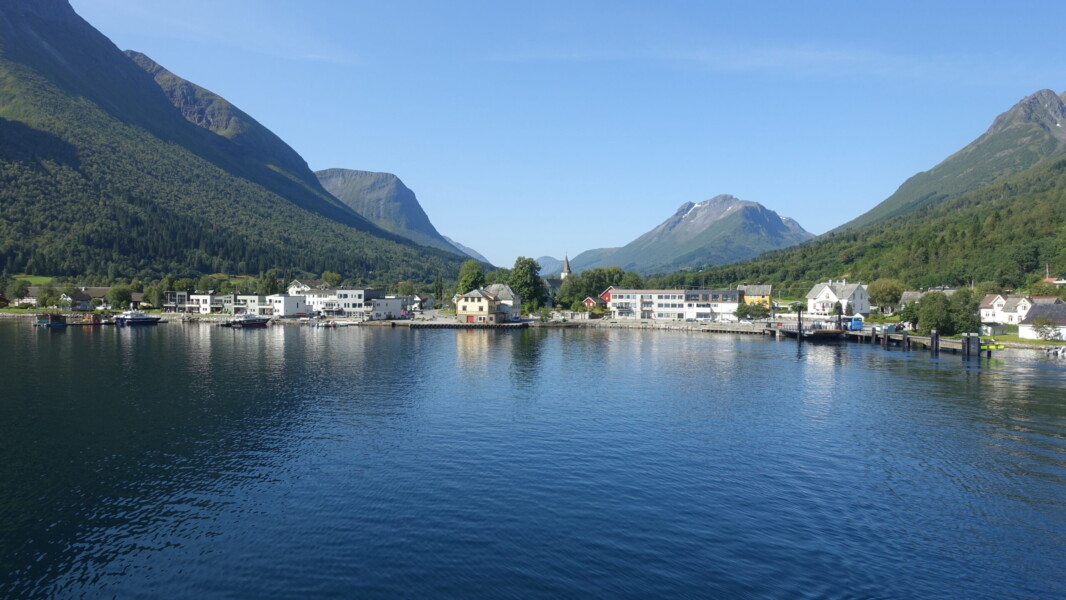
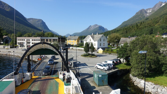
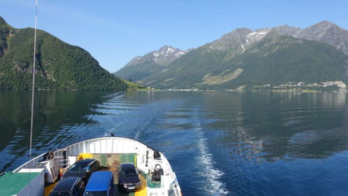
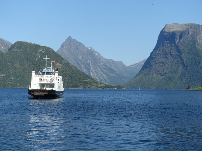
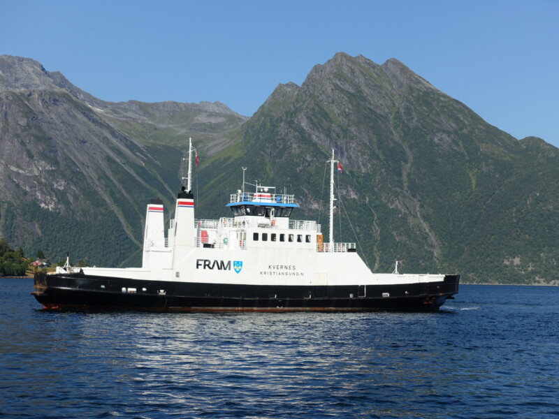
With only two buses a day, I was forced to a rigid schedule. Initially, I had been surprised that there were so few buses. Given that despite it being an absolutely gorgeous Friday, I was one of only three passengers, I guess they just don’t get the traffic for more services. The bus links directly with the ferry and I was treated to a spectacular (and free) mini fjord cruise on my way across to Leknes.
Sæbø – Leknes ferry
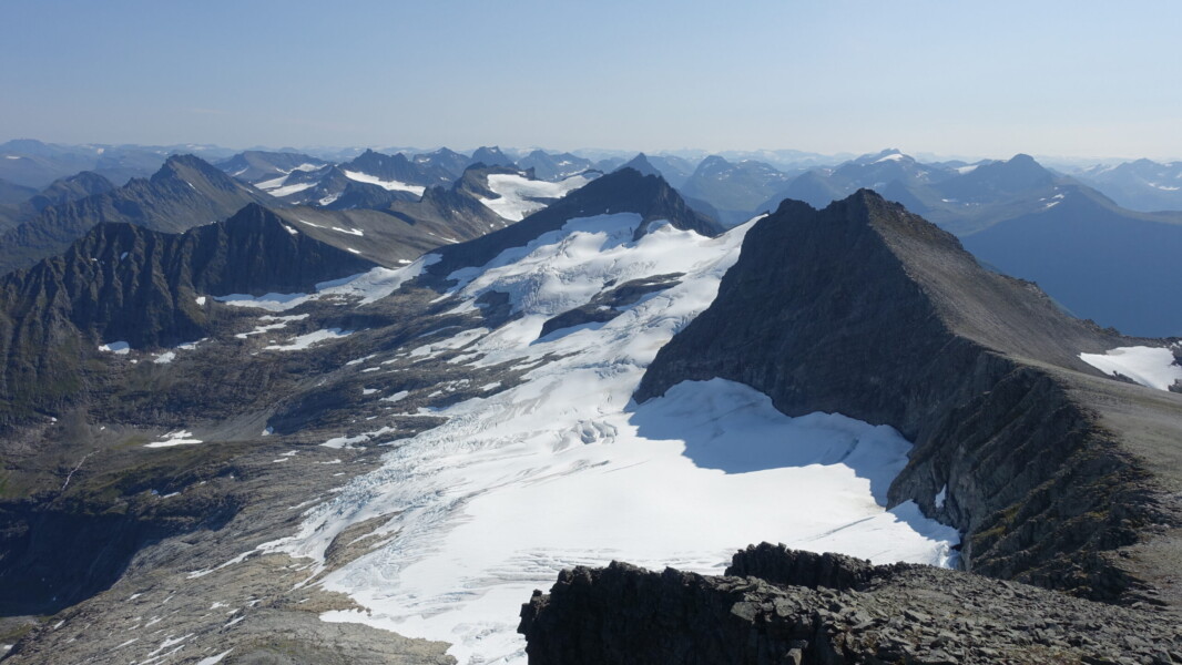
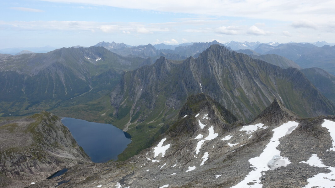
From Leknes, I had 4.6km on the road. Fortunately, this is Norway, and even taking the road is spectacular. After leaving the road, I would be following the main burn for Urkeelvo up a pass to my target ridgeline. This meant crossing several subsidiary burns during the lower stretches, some of which proved troublesome. The snowpack in these recesses was still receding, leaving highly unstable walls of snow and earth. More annoying than difficult, I soon pushed past them and before long, I was atop the ridge. The bulk of the climbing was done and I was rewarded with spectacular views of the fjord below. After a short lunch break, I turned north for my first two tops.
Råna views
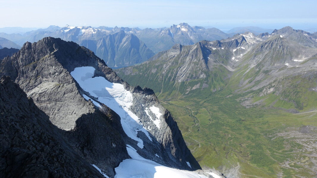
I would have liked to take the ridge east from Regndalstindane to Urkedalstindane, but I was not sufficiently confident that it was a smart idea to traverse the upper edge of the glacier alone and definitely not without protection. Instead, I stuck to the plan and followed the fjord south. The crux portion was going to be first unnamed top south from Råna. Fortunately, I had been able to scout potential routes all afternoon and I was optimistic of a line cutting southeast, under the peak.
Finding the [very sporadic] red T’s of an established track, I made excellent time running back to the ferry dock. I was on the cusp of the evening schedule, when far fewer ferries would be running, so I was keen to make-up any time I could. I needn’t have worried, but my efforts were rewarded as I arrived just as a ferry was arriving. Less than five minutes later and I was sailing back to Sæbø.
FRAM: now offering free fjord cruises (ferries are free)
Ørsta
Saturday, 3 August
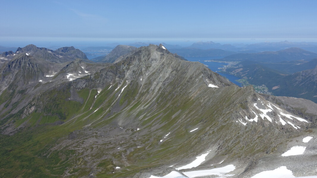
No buses over the weekend and a mixed forecast meant that I would stay local. Fortunately, I have learned to prioritise a local hill when picking accommodation. Saudehornet (1303m) towers above Ørsta and would be my target for the day. From the top, there is a 500m ridge scramble to a secondary top and a circuit can be created by continuing on to Vardehornet before descending back to town.
It was a pleasant loop, but I’m not sure the investment of 1300 vertical metres was worth the short payoff. Particularly since the first 835 vertical metres was a repeat of Vallahornet, which I ascended with far better lighting on the first evening. The convenience probably made up for the underwhelming scramble/view though. Given the lack of no buses, I had limited options and had to make do with what I had.
Having gone from two-dimensions to covering more than 5000m of elevation gain in less than 48hours, I was very ready for a little rest. With heavy rain forecasted for Sunday, I was sure to get it.
Vassdalstind from Saudehornet
Sunnmøre Vest
Monday, 5 August
After a day of heavy rain, I woke Monday morning to clear skies, but with cloud lingering on the fjell’s upper slopes. When considering the day’s destination, I still had several options in the queue. There were several interesting possibilities from Trandal, back in Sunnmøre Øst. This would involve a ferry with far sparser scheduling though. Dalegubben, which rises 1344m above Sæbø, was the logistically simpler option whilst still delivering one of the best views in the region.
I took the morning bus out and started ascending directly from the ferry dock. After a quick lunch at the top, I considered my potential extensions. The ‘safe’ option was to continue north, scrambling along the ridge to an unnamed top. From there, I would have to assess the feasibility of continuing past an unknown crux descent before topping out Sylvkallen. At that point, I could either reverse my scramble, or descend and return via the DNT track at the base of the valley. The risky option was to follow a ridge extending to the east and top Holmshornet. Holmshornet was by far the more exciting option, but perhaps too exciting: every trip report I saw made very extensive use of ropes. I opted to start with the safe option. I was far from convinced that I would be able to complete Holmshornet without protection and I could always give it a go on my way down, after an already successful day. The scramble north was uneventful, but slow going.
Back at Dalegubben, the sun was still in the wrong position for the iconic view back to where Hjørundfjorden splits into Norongsfjorden and Storfjorden. I had a chat with a friendly local who was quite surprised to see me after having been told there was no one else on the mountain by another hiker. He corroborated my thoughts on Holmshornet: it should be possible without ropes, but that is certainly not the normal approach. He had apparently long been tempted, but like me, was hesitant to commit to a solo, unprotected, push.
Upon returning to the saddle and decision point, I opted to start up the ridge and complete at least the first segment. Things started well, but I could see a 10m lump of rock looming ominously ahead. With a very vertical 1200m drop to the fjord below, none of my options were particularly appealing. Particularly when considering the slight outward slope of the rockface. At the top, I decided I had pushed my luck enough for one day and turned around. I had already had a full and successful day.
The remainder of the descent was smooth. I was disappointed in myself for not managing to complete more of the Holmshornet ridge, but the day was still an overall success.
Afterwards
It was a short but positive trip. After two (three, counting the Covid cancellation) attempts, it was nice to finally feel as though I had done Hjørundfjorden some justice. There remains a lot to climb, but I no longer feel I have unfinished business. That being said, I would like the opportunity to explore Store Brekketind, at the base of Norangsfjorden.
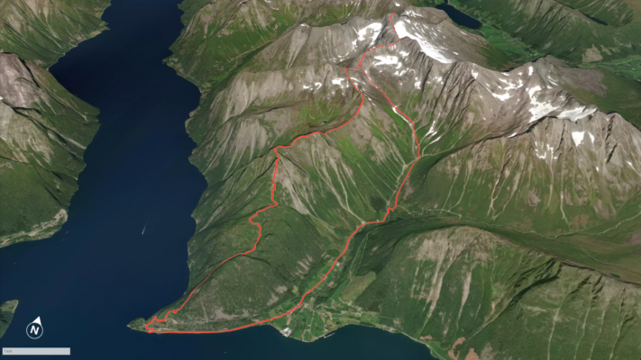
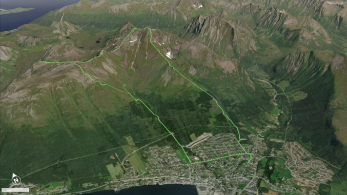
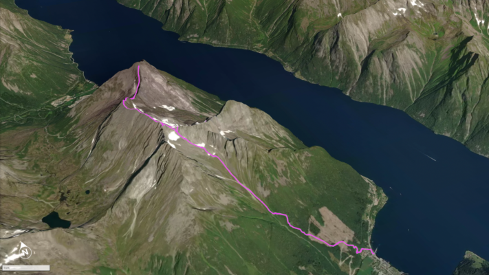
Approximate route maps: Rana, Saudehornet, and Dalegubben
- I was surprised by the lack of people. I saw very few other hikers/climbers, despite the favourable weather. Sure, nearby Sognefjord and Geiranger are nice, but Hjørundfjorden is far more dramatic.
- Given the elevation gains involved and relative lack of suitable campsites, I am unlikely to rush into another backpacking trip to the area.
- As dramatic as the fjells are, I think I prefer the slightly lower mountains of Nordland. Reducing the single-push elevation gain (but not necessarily total) means I can feel like I have accomplished a lot more and makes it far easier to spontaneously get out to maximise a weather window or chase particular lighting conditions. Maybe flatland has just made me out of shape though…
- As a solo scrambler Sunnmøre is an excellent place to push oneself to the limit. Unfortunately, there is also a lot of uncertainty as to whether a chosen route will be viable due to crux sections that are questionable (at very best) without protection.
- The larger scale map would have been a good investment (1:25000 vs 1:50000).
Footnote
All photos are exclusive property and may not be copied, downloaded, reproduced, manipulated or used in any way without permission of the photographer.
