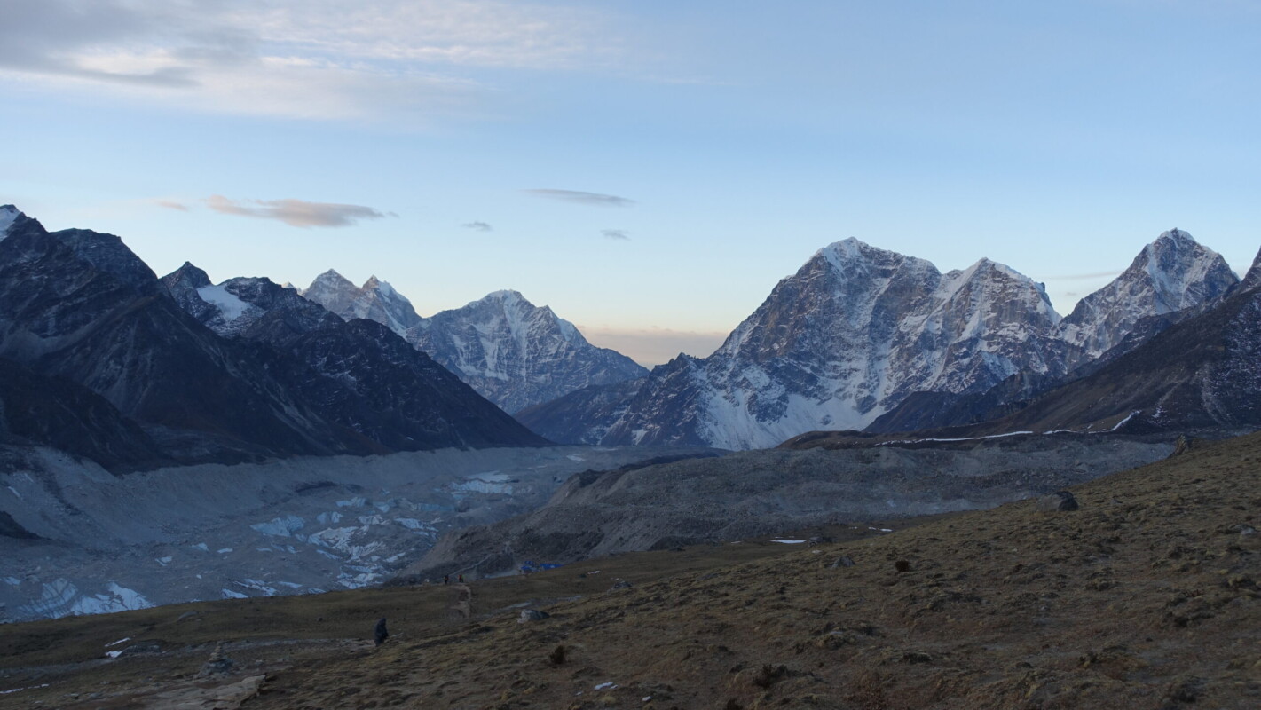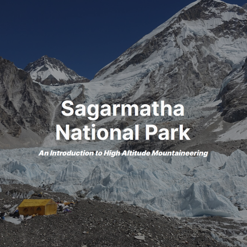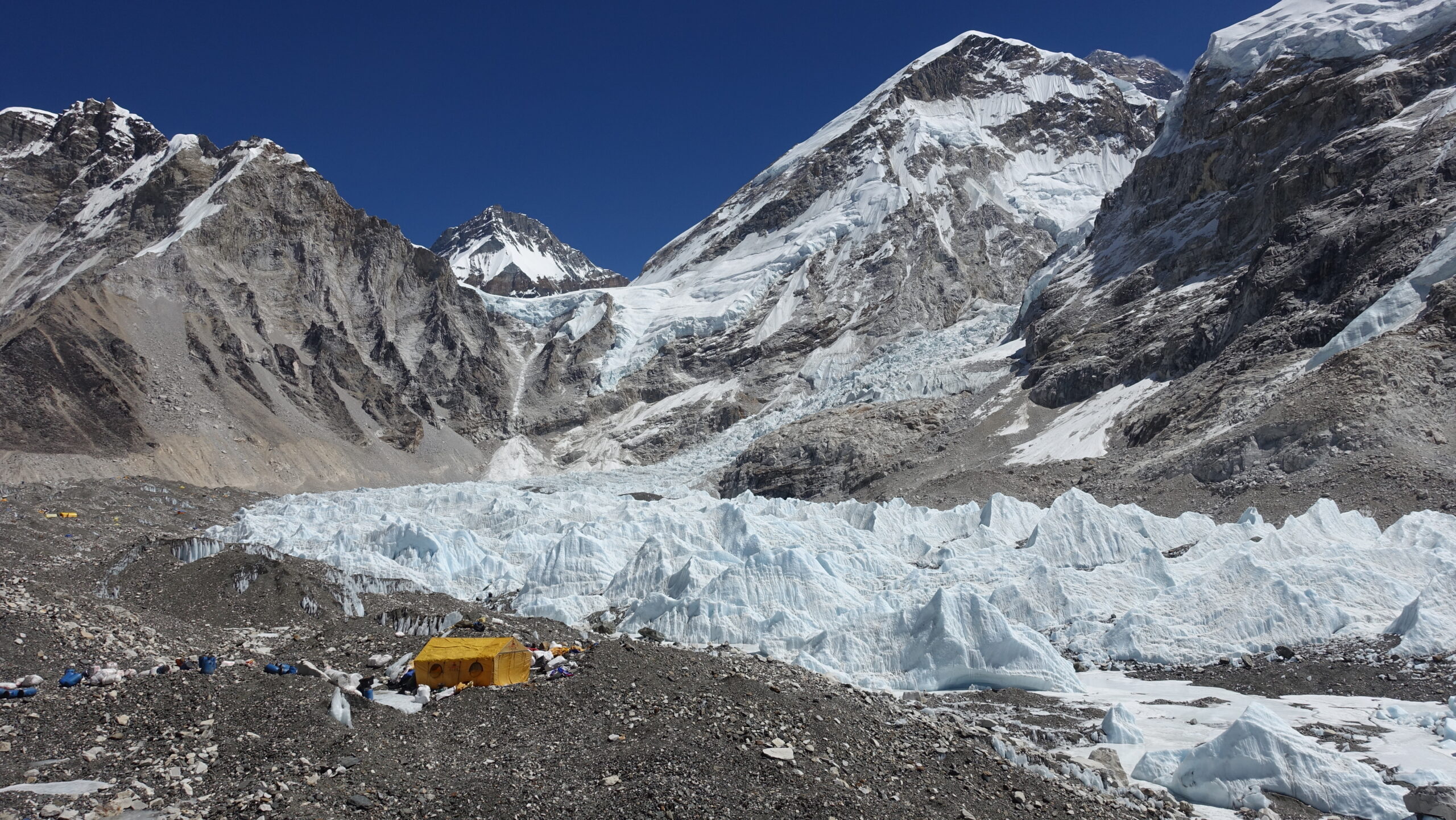
Sagarmatha National Park
An Introduction to High Altitude Mountaineering
Trip Overview
4 March – 27 March 2024
With a new job finally lined up, but only after a two to three month wait, I had the perfect opportunity for an extended holiday in February or March. Being late winter, I had to scrounge a little for an appropriate destination, particularly given that Tassie and New Zealand were beyond my budget. I reviewed options ranging from a return to Svalbard to welcome back the sun, an urban-hiking break to Cape Town, and trekking Kilimanjaro. Ultimately though, there was a clear standout: Nepal.
Given a monsoon climate, spring and autumn are the optimal times to visit with early spring mitigating the peak-season crowds and heat. Despite my best efforts, I couldn’t justify the costs for a Classic Everest Base Camp trek or equivalent. But when my start-date was pushed back to April instead of March, the whole equation changed with more interesting routes becoming available. This would do considerably more damage to my bank account, but the high-pass routes would open for trekking and I would have the opportunity to summit [at least] one of several 6000m peaks.
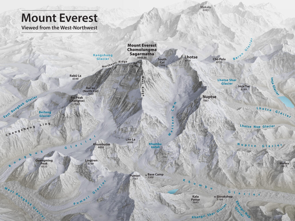
There are three primary trekking regions in Nepal: Langtang, Khumbu (Everest), and Annapurna (including Mustang and Manaslu). Despite Everest itself not being a particular draw for me, Khumbu was my standout choice for a first trip to Nepal. Khumbu is reached via the [in]famous Lukla flight. As an aviation enthusiast, I would have regretted travelling to Nepal without experiencing this. Khumbu is also home to a higher density of famous peaks. It has four 8000m peaks (views of a fifth) and the iconic Ama Dablam (6812m). The final tipping point came when comparing mountaineering options. All three of Khumbu’s standard 6000m climbs struck me as more interesting options than Annapurna’s 5659m Tent Peak (Tharpu Chuli).
Khumbu has three trekking routes (Classic EBC, Gokyo, and Three Passes) and three standard 6000m peaks (Lobuche, Island, and Mera). I opted for the combination that I felt would maximise coverage and variety. From Lukla, I would hike to Gokyo Lakes, then Everest Base Camp via Cho La, finally climbing Island Peak and returning to Lukla. My summit choice had particular appeal. It is in a unique position, being a 6000m peak in the immediate shadow, and therefore dwarfed by, the 8000m Lhotse. It also promised the combination of the right level of technical difficulty with arguably the best views of the three options.
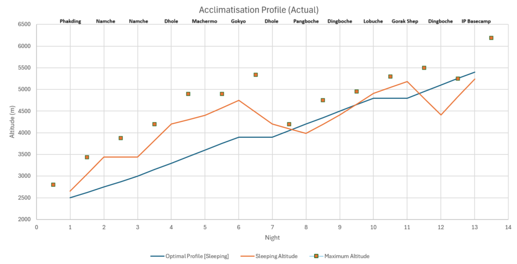
In an unusual choice for me, I chose to use a guiding service. It was not an easy choice, but was made considerable easier by the fact that Nepal all but requires a local guide, as of 2023. It would have still been possible to self-arrange for Everest Base Camp, but the logistics involved were… intimidating. After experiencing Nepal, I made the right decision. Despite a seemingly very relaxed schedule, I chose to trust the company’s planning. Even with this scheduling, the acclimatisation profile was… ambitious.

The Gokyo-Everest Base Camp-Island Peak route map is posted on Wikiloc
Arrival
Monday, 4 March – Wednesday 6 March
Flights into Kathmandu were not an ideal setup. A twelve hour overnight stopover is never fun, but DXB’s Terminal 2 was a very rude ‘welcome to Asia’. Complete chaos and given the geograpgic location, 3 AM is one of their busiest times. UAE is not a country that appears anywhere on my wishlist, but I did find it interesting to see some of the famous sights like the Burj Khalifa and Palm Islands during the approach. I considered getting my passport stamped as a way to kill time but decided against it.
I was sure my bag was lost on arrival when the carousal came to a stop without it turning up. My fears were furthered when I was tersely informed that ‘unloading was complete’. This would have been a serious problem due to missing important kit and a quick turn-around to Lukla. Fortunately, a scan of the tag revealed it to have made it to Nepal, just not the carousal. It was hardly the only one. Regardless, I was shortly reunited and on the way to the hotel.
The first time I ventured out in Thamel, I only made it about 600m down the road before nopeing back to the relative calm of my room. There is just so much happening, all the time, everywhere. I did better the next day but I never came to enjoy exploring Kathmandu. A shame as there were several interesting places and museums I was unable to see due to being unable to handle the chaos.
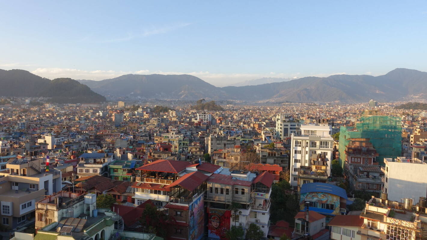
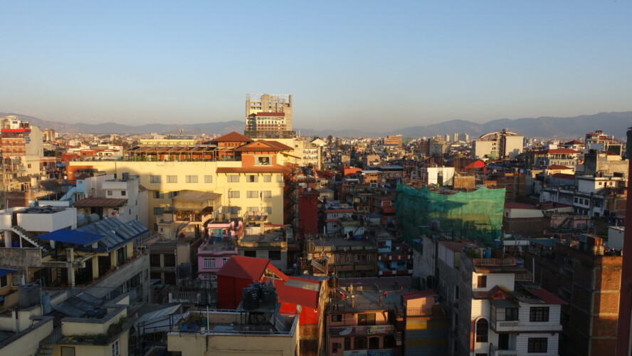
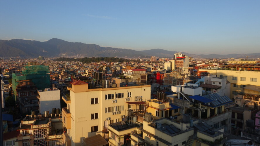
Kathmandu, located in a low (1300m) valley is notorious for atrocious air quality.
Hotel views
Lukla (2800m)—Phakding (2652m)
Thursday, 7 March
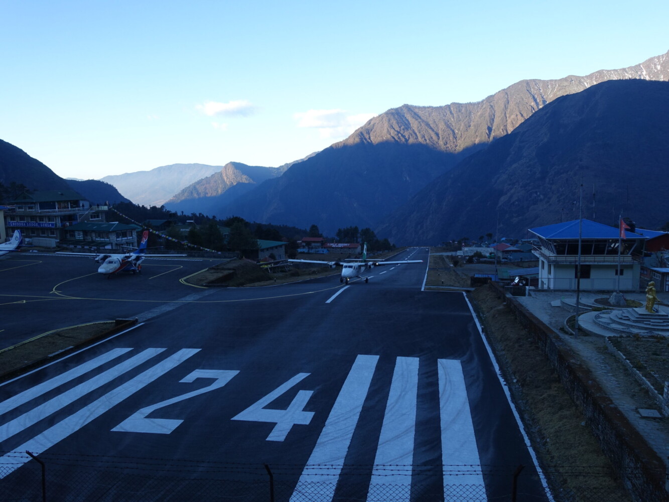
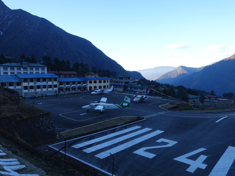
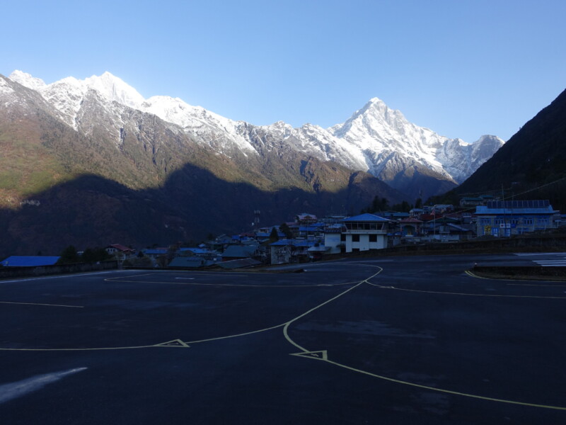
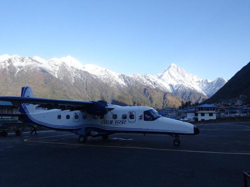
Finally it was time for the highly anticipated Lukla flight! I would be flying an aging Dornier 228 on the morning’s first departure. Despite a very poor night of sleep due to a worrying weather forecast, the morning proved completely clear. At least once Kathmandu Valley’s haze began to lift, anyway. Not even the cockpit breakdown videos or flying it in FS2020 can do justice to the flight. The plane never flies above the hills and nothing really prepares to see the tiny runway come into view through the cockpit window, completely flanked by 6000m peaks.
Tenzing-Hillary Altiport
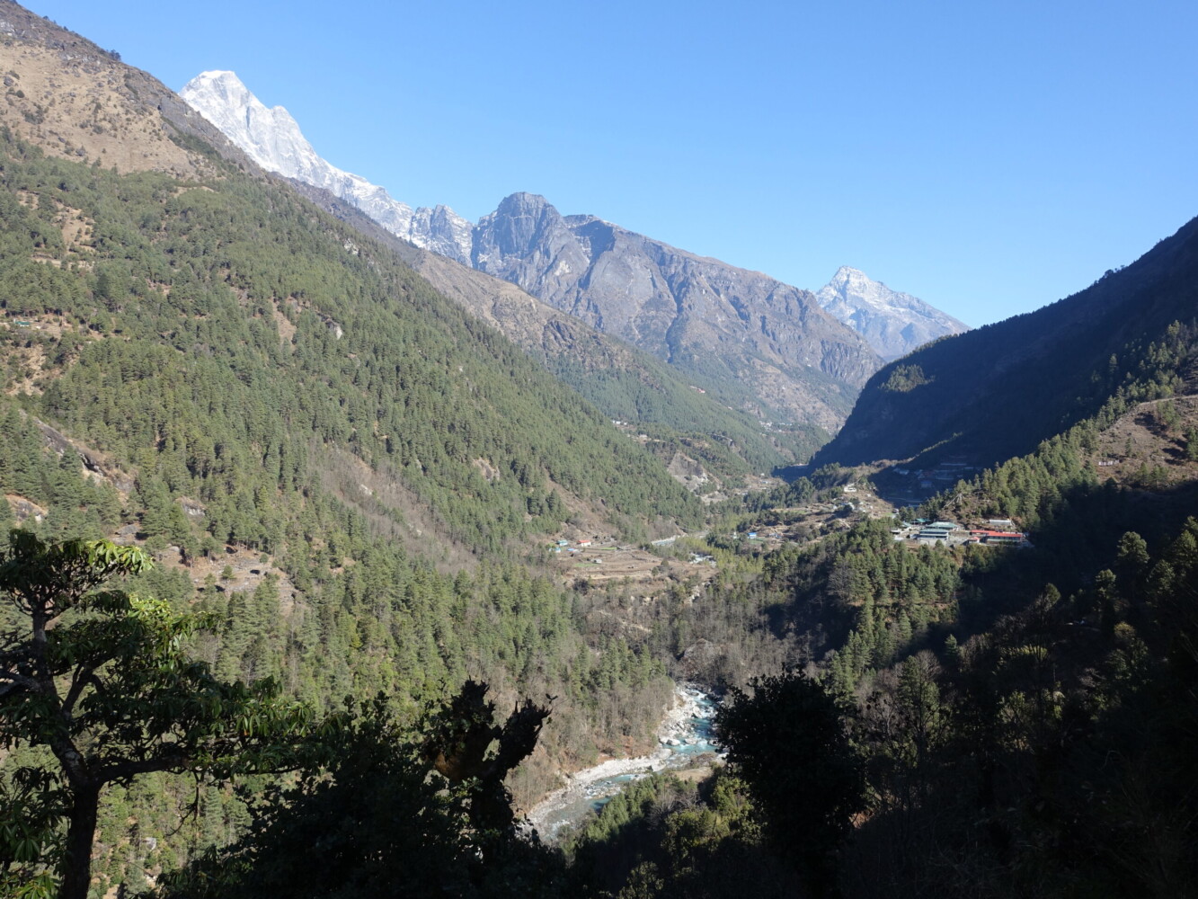
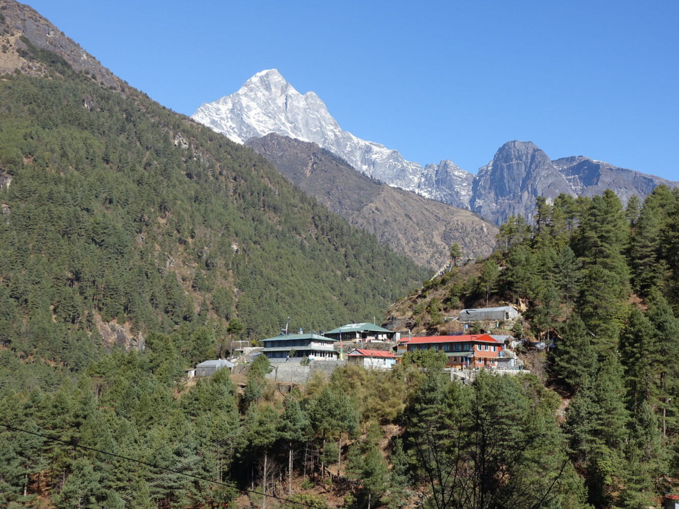
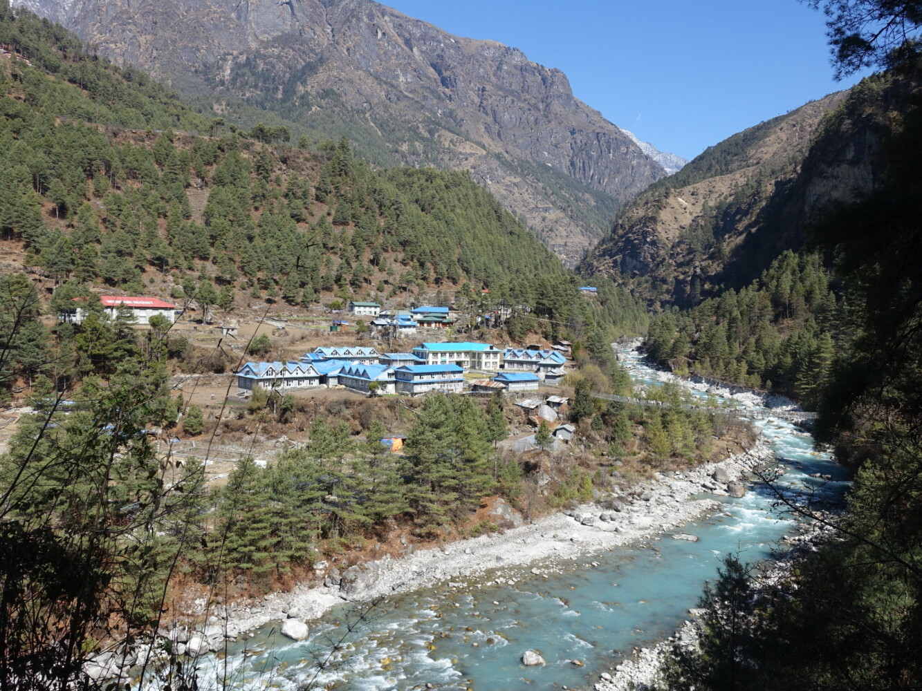
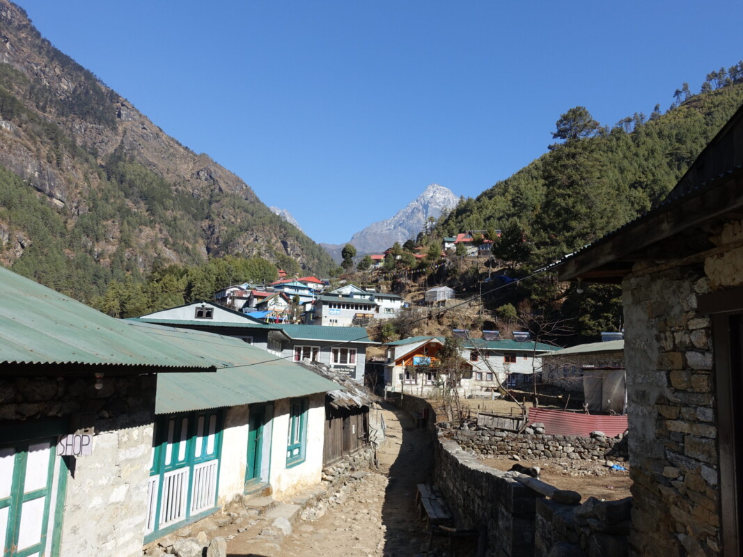
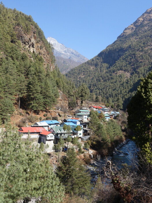
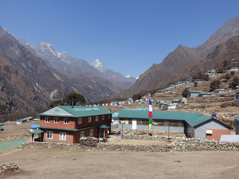
After breakfast whilst waiting for my porter, it was time to set off. It would be a very short day to Phakding, this was probably warranted due to flight uncertainty. Sherpa settlements were abundant along the route and at this altitude they are permanently inhabited. Perhaps unsurprisingly, they all felt very commercialised for the trekking industry. It is hard to feel immersed in authentic rural culture when passing the tenth Irish Pub.
Phakding (2652m) – Namche Bazaar (3440m)
Friday, 8 March—Saturday, 9 March
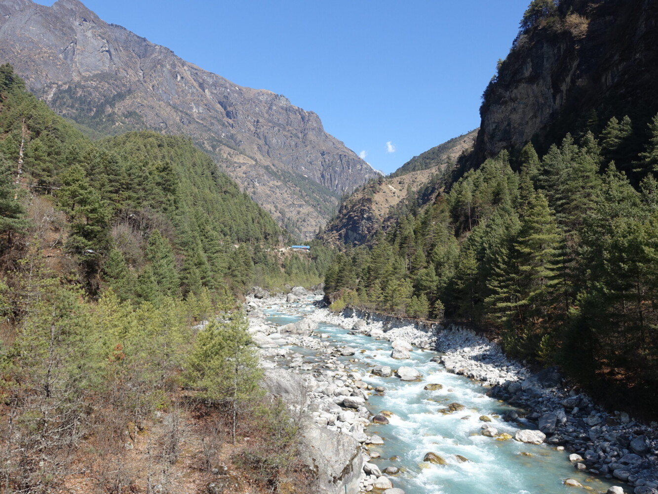
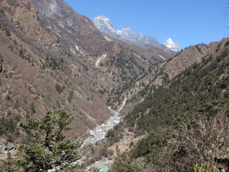
The second day, the elevation gain began in earnest. With altitude still modest, there was no real difficulties, though I was definitely shorter of breath than normal. With all goods in Khumbu needing to be flown to Lukla and distributed via Namche, the trail was very heavily trafficked by local porters carrying staggering volumes of all manner of goods.
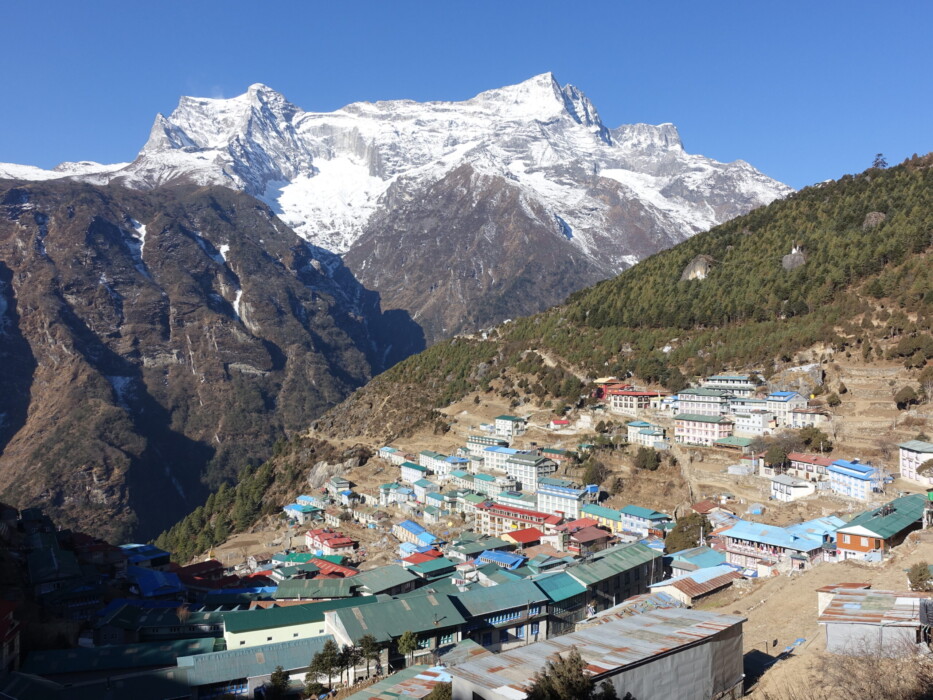
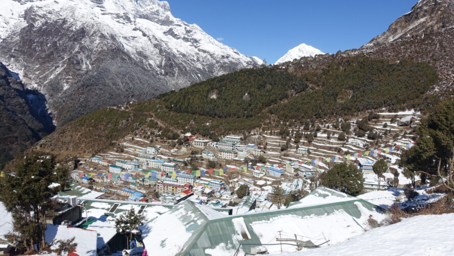
I ended the day in Namche Bazaar, the primary trade hub between the Khumbu region and Tibet, situated quite dramatically under the impressive Kongde Ri (6187m). It was hard to believe I would soon be summitting a peak of the same altitude. Namche is an odd place. It is packed with urban luxuries geared toward mountaineers in need of a break between rotation cycles, supplies for unprepared trekkers, art galleries, and even off-brand Starbucks. All seem very out of place in remote and deprived Khumbu.
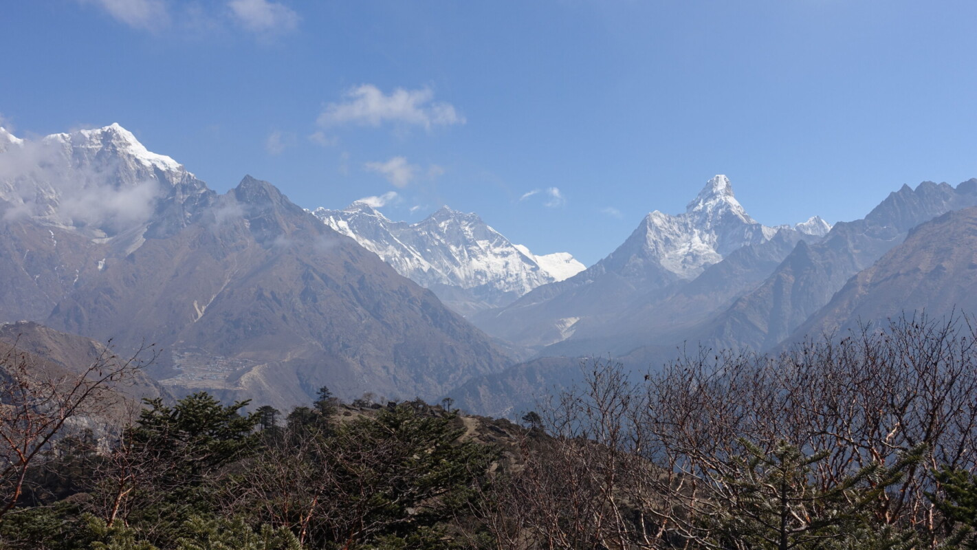
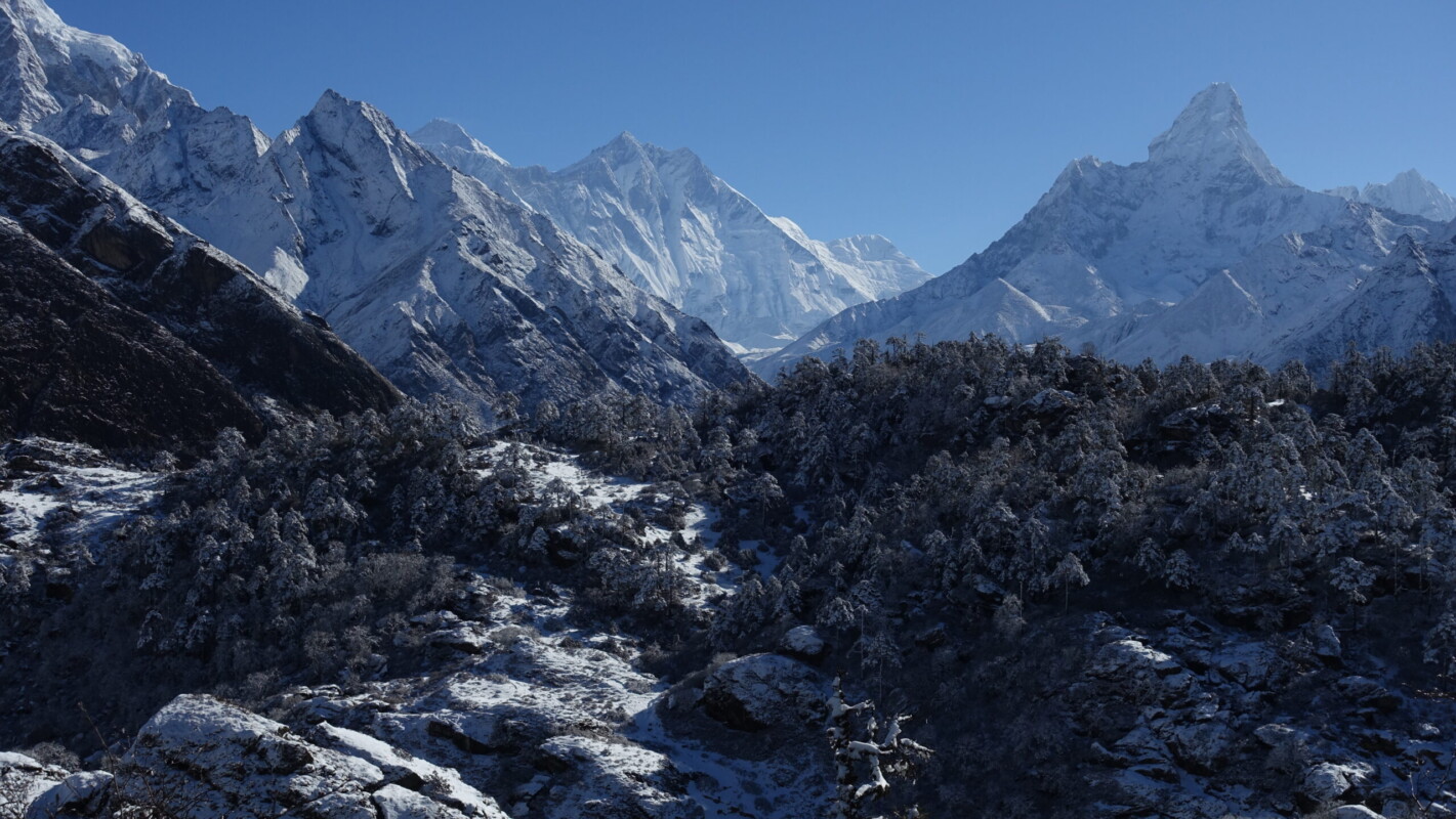
I would spend a full day acclimatising in Namche, with a trip to the Sherpa Museum and a short hike up to Everest View Hotel (3880m). The Sherpa Museum was underwhelming. I was hoping for more cultural insight than a few panels on Tenzing Norgay – Oh well. The Everest View Hotel is a stop for all trekkers. The name is slightly misleading though, as one only sees the smallest sliver of Everest proper (Lhotse’s south face blocks). Trekkers can enjoy tea on a terrace featuring panoramic views of Lhotse, Ama Dablam and Tobuche. The helicopters were also doing good business shuttling rich tourists in for a posh brunch. Not really my thing though.
At dinner I met a couple from Oxford on their way out. They passed along the remainder of their acetazolamide (Diamox), the standard altitude drug. I was previously aware of it, but it is prescription-only in Europe and I had heard very mixed reviews. The husband was also a GP and had useful medical guidance that would prove extremely helpful a few days later…
Everest View Hote’s panoramic terrace
Namche Bazaar (3440m) — Dhole (4200m)
Sunday, 10 March
I was definitely ready to depart Namche. I had neither the need nor the spare cash for shopping and was in Khumbu for the high mountains, not the villages. By this point the much maligned ‘Khumbu Cough’ had settled in and wouldn’t be fully leaving until I was back in NL. Fortunately it was little more than a mild nuisance in my case.
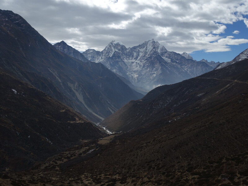
Today I would split and climb away from the Classic EBC route and head for Gokyo. Immediately after the split, the crowds thinned dramatically. With peak-season still several weeks away, the trails were hardly bustling but the reduction was appreciated.
Dhole (4200m) – Machermo (4400m)
Monday, 11 March
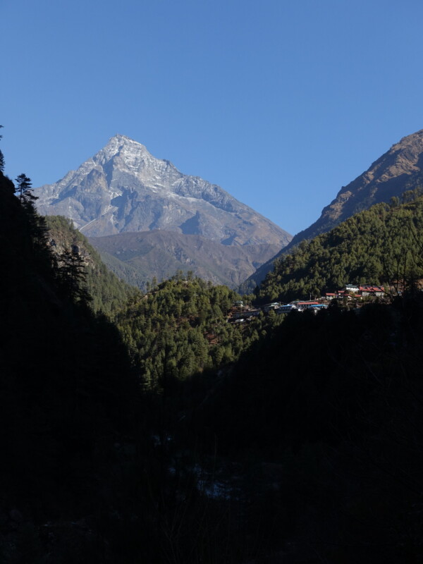
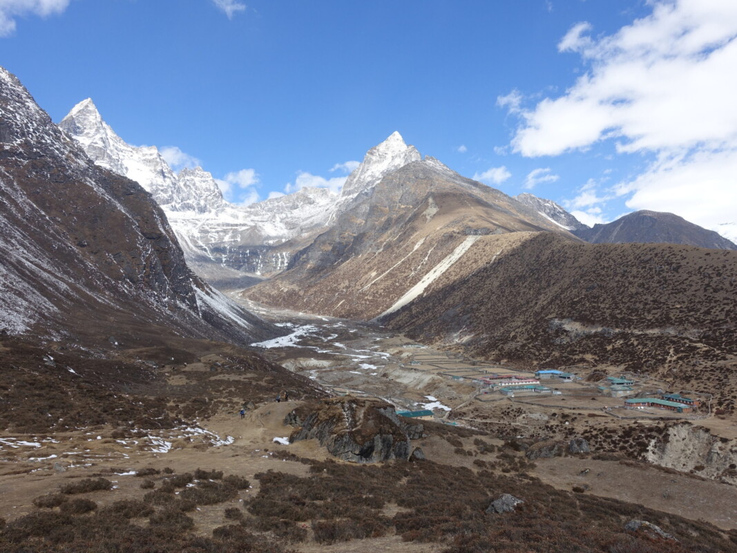
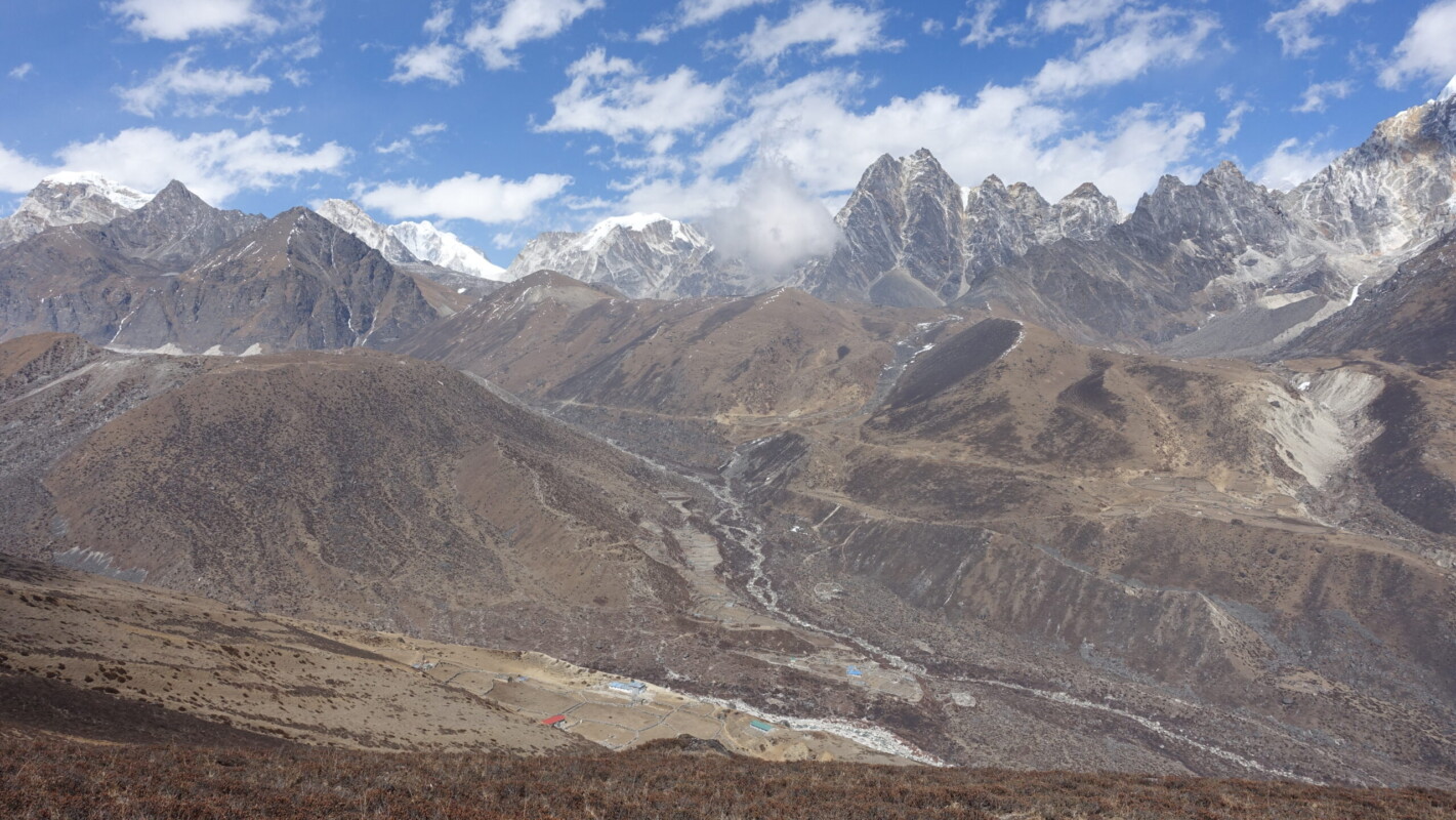
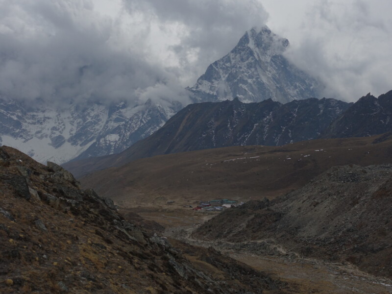
A very short walk from Dhole to Machermo, really being more of an acclimatisation day. It could not have been more than three hours, even at a very modest pace. The settlement of Machermo was situated in a dramatic location, nearly completely surrounded by 5500m ridges extending from Kyajori (6189m) and Machermo Ri (6017m). After a somewhat drab morning, I was in for an unexpected treat of a view when the trail turned in to the settlement’s valley.
Kyajo Ri ermerges from behind the hills on the approach to Machermo
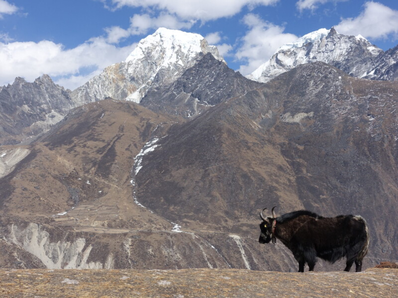
After an early lunch, I set off on my own for an afternoon hike. My goal was mainly to kill time, but I also wanted to see the views from the ridge north of town. My efforts were rewarded with remarkable views of Mahalangur Himal to the east and Cho Oyu to the north. It also probably came at a cost though. I reverted to something resembling my normal mountain pace, which was likely a mistake at this stage of acclimatisation. As I ascended the ridge, I could feel the pounding in my head. My exploits here may have played a substantial role in events to come. In my defense, I thought the ridge would fit the ‘climb high, sleep low’ principle nicely.
By this point, I had learned the extremely predictable Himalayan weather pattern. Mornings were consistently calm and crystal clear with winds whipping up around noon and heavy cloud rising up the valley in the mid-afternoon.
Machermo (4400m) – Gokyo (4750m)
Tuesday, 12 March
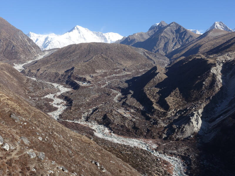
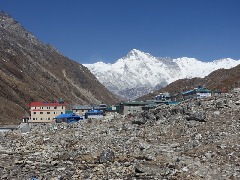
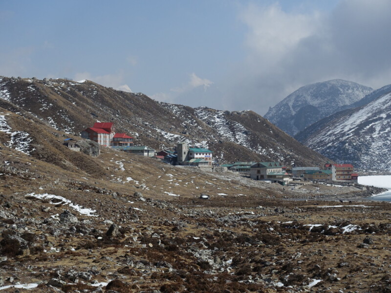
It would be another short day up the Ngozumpa Valley to Gokyo, one of the world’s highest permanent settlements. Acclimatisation was still key and there are only so many settlements along this route.
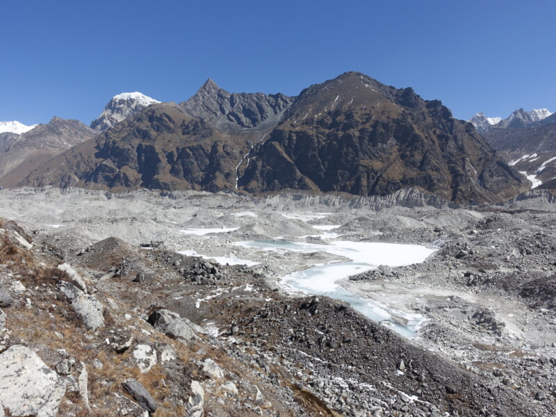
With the typically clear morning skies, I now had unobstructed views of Cho Oyu which would dominate the skyline for the remainder of the day. While waiting for my guide to take some calls, I made a little detour up the moraine. Like my exploits the previous afternoon, the increased pace and exertion may have pushed me a little harder than necessary given the acclimatisation regime. Still, my Lake Louise Score (AMS self-diagnosis guidance) did not exceeded three.
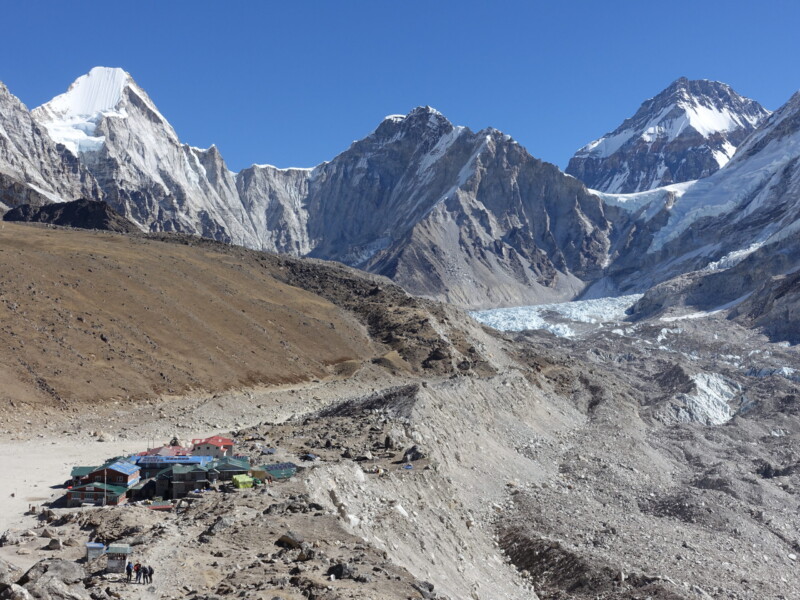
After lunch in Gokyo, I headed toward to the Fifth Lake, on the way to Cho Oyu Basecamp. In hindsight, I wish I had carried on just a little further. Another two kilometres and I would have had spectacular views south to where the Lhodze Glacier splits away from the Ngozumpa Glacier at a 90degree angle. I took the pace slowly and there were no altitude symptoms.
With a very early start (3:30 wake-up) it would be an early night. Given altitude, a leaking roof, a door slamming in the wind, and an alarm beeping, it would not be a restful few hours.
Gokyo (4750m) – Dhole (4200m)
Wednesday, 13 March
A highly anticipated day that would very nearly end with a very expensive helicopter back to Kathmandu.
It all began with an early 4:30 start. We headed out to see the sunrise from Gokyo Ri (5357m), a hill immediately outside of Gokyo offering commanding views over Ngozumpa Glacier, Mahalangur Himal, and Cho Oyu. Sunset is the ideal time for this viewpoint, but the Himalayan weather pattern means sunrise is more reliable. Unfortunately, I would not make it to the top.
Waking early, the first sign that something was off should have been the extreme cold I felt as we started out. This was by far the earliest we had started, so my [likely oxygen deprived] thinking was that it was just the colder overnight temperatures. I pushed my neck gaiter up and did not think much of it. The next, and far more significant, sign was that my breathing felt more laboured than it should be. Again, my [likely oxygen deprived] thinking was that I have always found neck gaiters restrictive, and that must be the problem. As an endurance athlete, I am well used to needing to regulate my breathing – it shouldn’t be an issue, right?
At about the 5000m mark, everything went to shit in the space of less than thirty seconds. My legs suddenly turned to jelly. Not the ‘I just ran an marathon/ultra’ jelly, but very literally collapsing out from under me. At the same time I had a similar lightheaded sensation to standing up too quickly, but multiplied by ten. This necessitated an immediate sit-down and the hope that it would quickly pass and I would be able to progress. While it did subside, it took far longer than it should have: several minutes. I attempted to carry on, but was hit by a similar experience after just a few hundred meters and it was quite clear that I was rapidly losing mental faculties. Another sit-down was followed by another failed attempt. At that point it was very clear that something was very wrong and that I should return to the Teahouse.
The walk down was a slow and clumsy one. I was forced to stop and recover every few hundred meters and I was constantly tripping over myself (ataxia). Even more terrifying, I have very little memory of it. Ultimately I did make it back to my room and immediately collapsed on the bed, without even removing my shoes. Later analysis would reveal that my symptoms matched High Altitude Cerebral Edema (HACE).
After taking a Diamox and crashing out for about an hour, I met back up with my guide for breakfast and a discussion about how to proceed. We decided that the best option would be to retreat back to Dhole (4200m) and meet the Classic EBC route in Dingboche. This would cut Cho La from the itinerary but allow far more acclimatisation time and eliminate the risks associated with the lack of retreat options from Cho La. Crucially, I would be able to regroup with my intended itinerary in Lobuche. I was reasonably confident I would be okay with the scheduled 48 more hours at 4800m but Cho La has no viable escape. An immediate decent of 4-600m is a crucial lifesaving measure for HACE and a rapid decent of 1000m is strongly advised. Had I continued on the intended itinerary and encountered further problems, it would have meant a very expensive helicopter and a premature end to the trip.
The experience would leave me extremely cautious of altitude-gain for the remainder of the trip. Regardless of whether it was HACE or extreme AMS, it was clear the correct decision was made. Missing the views at Gokyo was a massive blow to my morale – it was a morning I was particularly looking forward to and the weather gods were smiling.
I was also a little disappointed with the performance of my guide. One of the principle benefits of having a guide was help recognise and resolve altitude problems. The symptoms of altitude sickness are difficult to diagnose, but we had been hiking together for several days and I do think that it should have been obvious that something was wrong with my situation. Regardless, he did a good job once we returned to Gokyo.
After my emergency decent to Gokyo, I would have no further altitude complications. With the exception of summit day after the crampon point (where it would briefly swell back to maybe a two, three at the most), my Lake Louise Score would be a very friendly zero.
Dhole (4200m) – Pangboche (3985m)
Thursday, 14 March
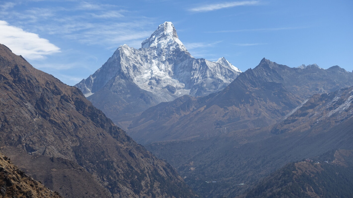
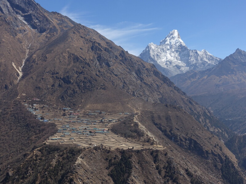
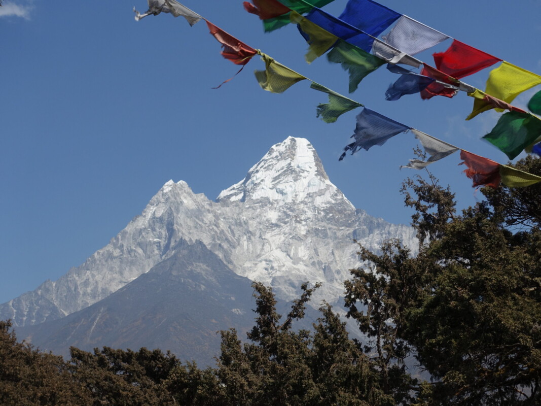
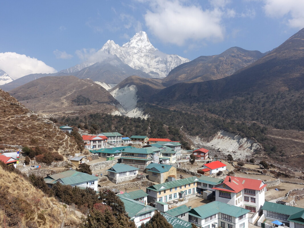
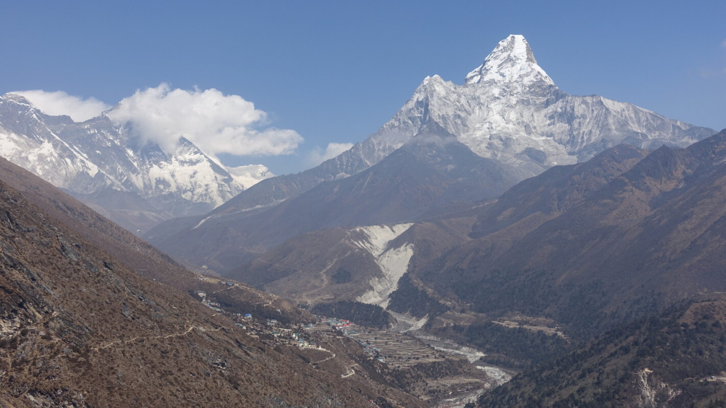
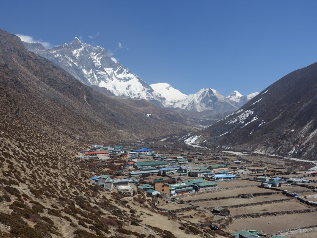
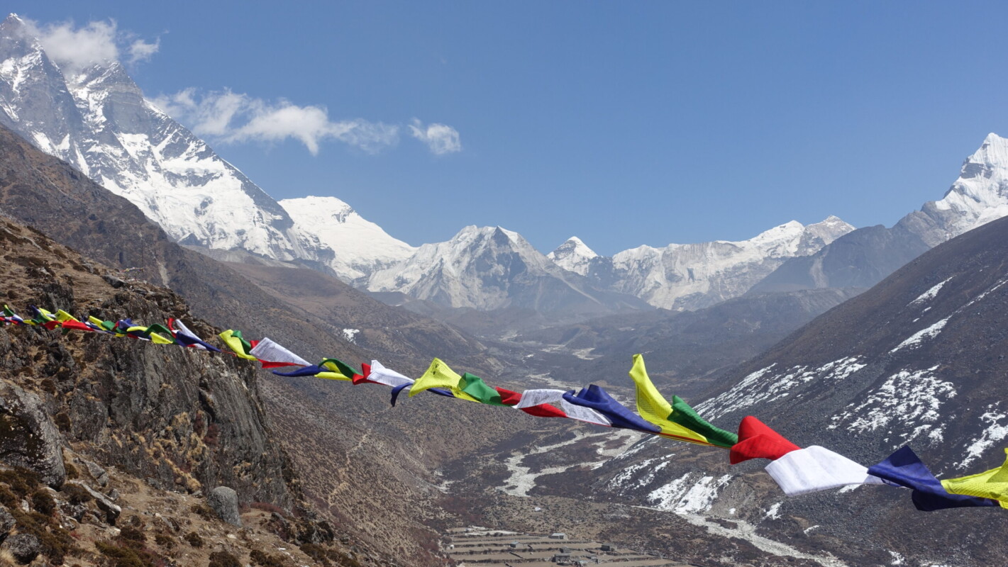
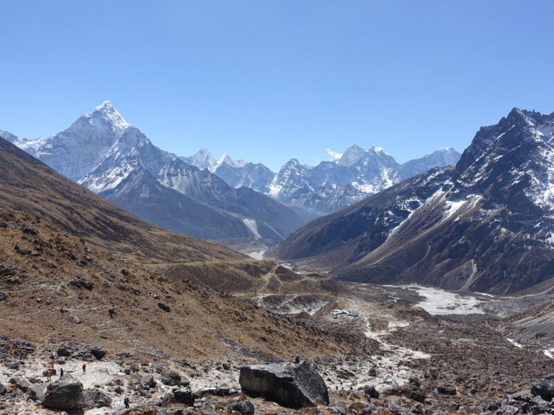
I was still feeling down after the disappointment of the previous day. There were no altitude symptoms at all and I was no longer feeling ‘shaken’. The day of backtracking was not something I was excited for. Nor was I excited to be returning to the Classic EBC route and its crowds. Despite the negativity, the route treated me to some exceptional views. The stretch between Phortse and Pangboche had some of the best views of Ama Dablam. Being on a rarely travelled path, the rare moment of actual solitude (aside from my guide) was appreciated too.
A favourite view, with Ama Dablam and Lhotse towering above Pangboche
Pangboche (3985m) – Dingboche (4410m)
Dingboche (4410m) – Lobuche (4910m)
Saturday, 16 March
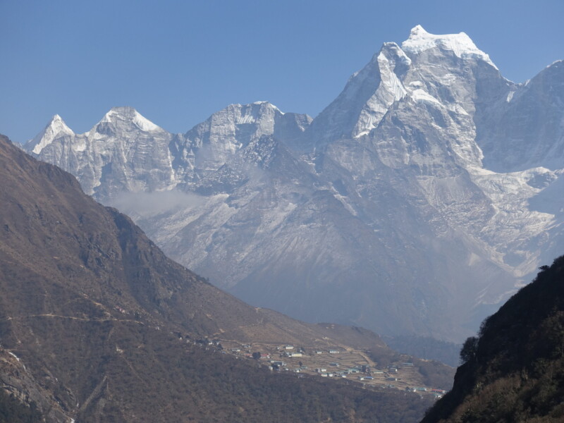
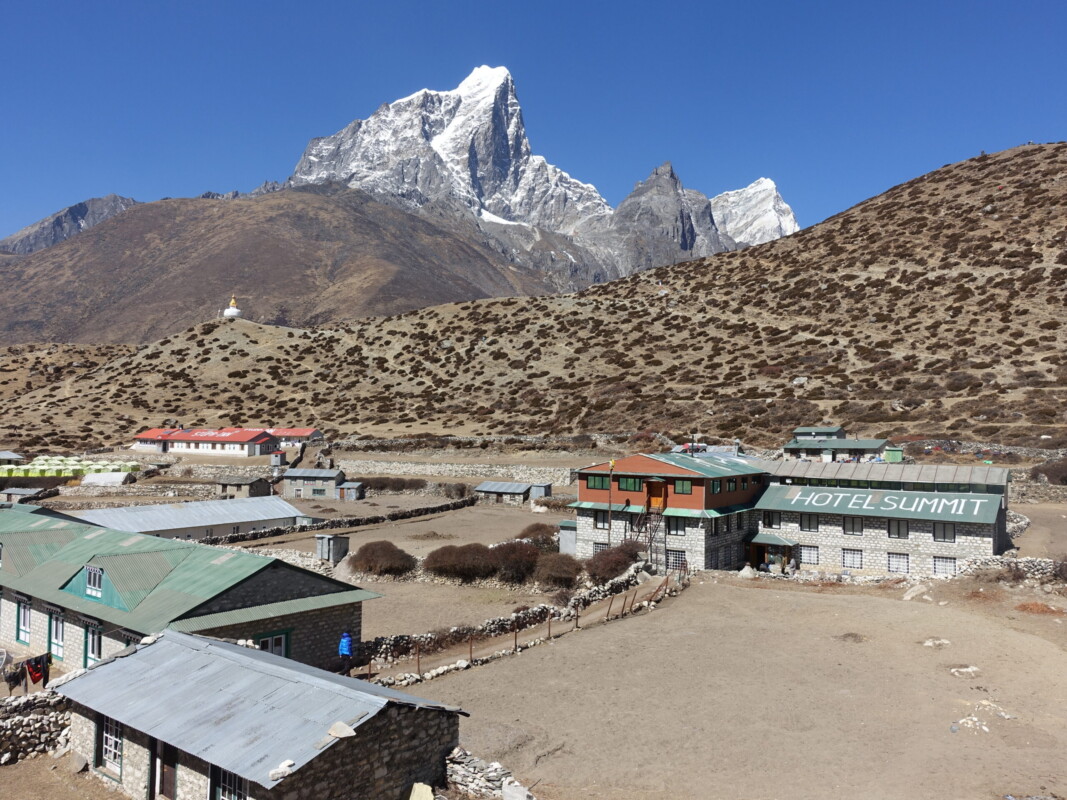
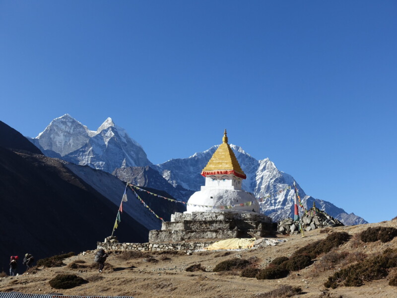
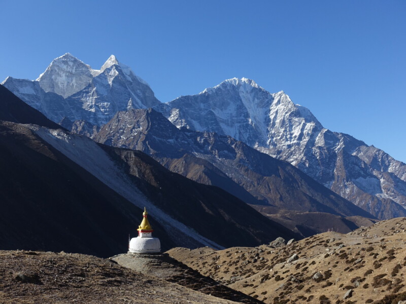
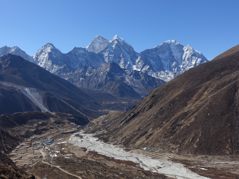
What a day! The morning started with a brief climb out of Dingboche toward a pair of stupas looking very photogenic with the mountains in the background. I then followed the upper track headed toward Thok La (4800m). The views were amazing in every direction. To the south, the iconic view of Pheriche backed by Thamserku and Kangtega. To the west was an imposing wall of 6000m peaks comprising Cholatse, Jabo Lhaptshan, and Taboche. Unfortunately, this was the first day I would feel overwhelmed by the volume of people. Suddenly the trail was overrun with trekking groups, tourist-porters, and guides. The crowds would only become more stifling as everyone was funneled into the Lobuche/Gorak Shep bottleneck.
Twin Stupas looking photogenic above Dingboche
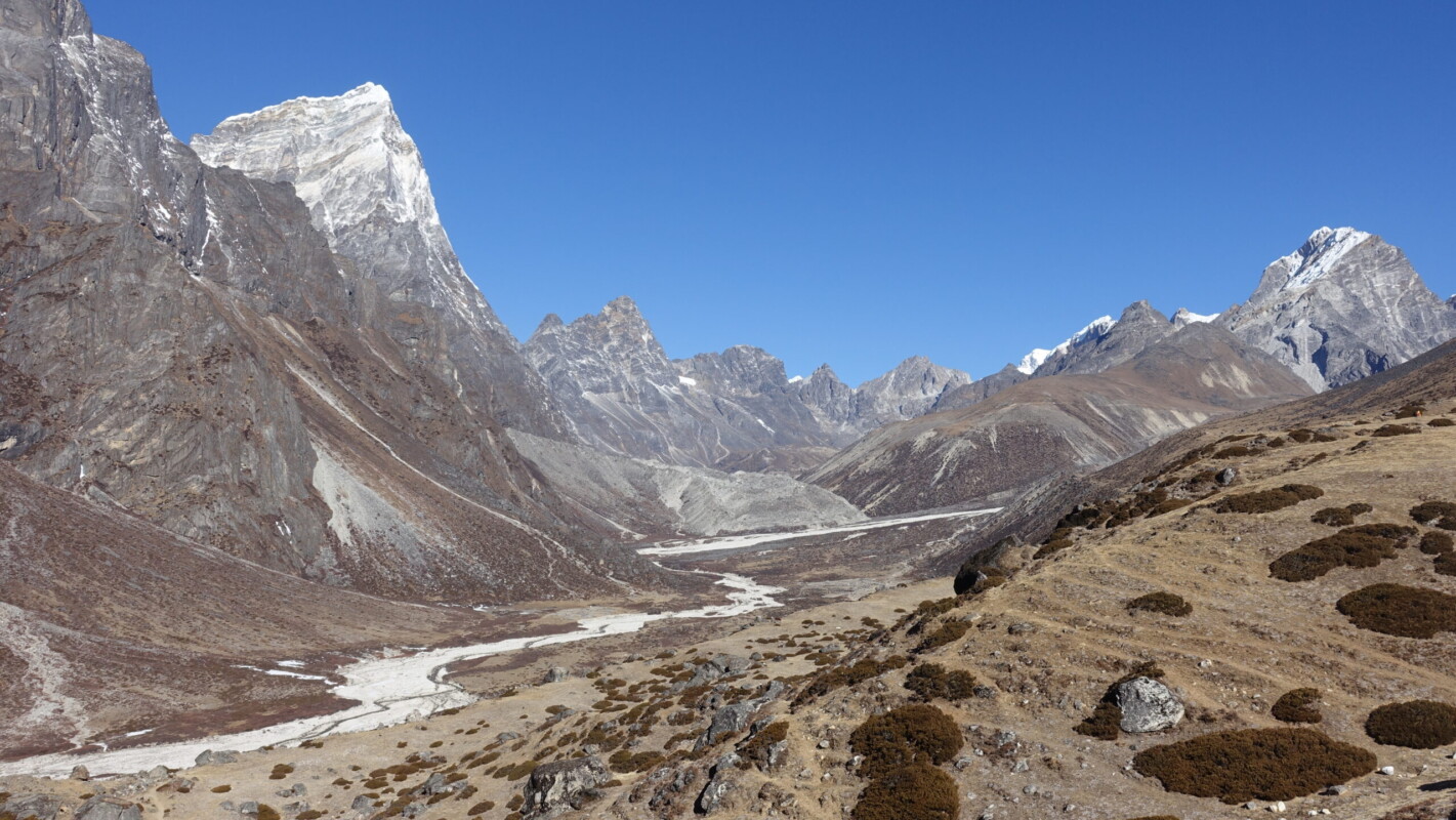
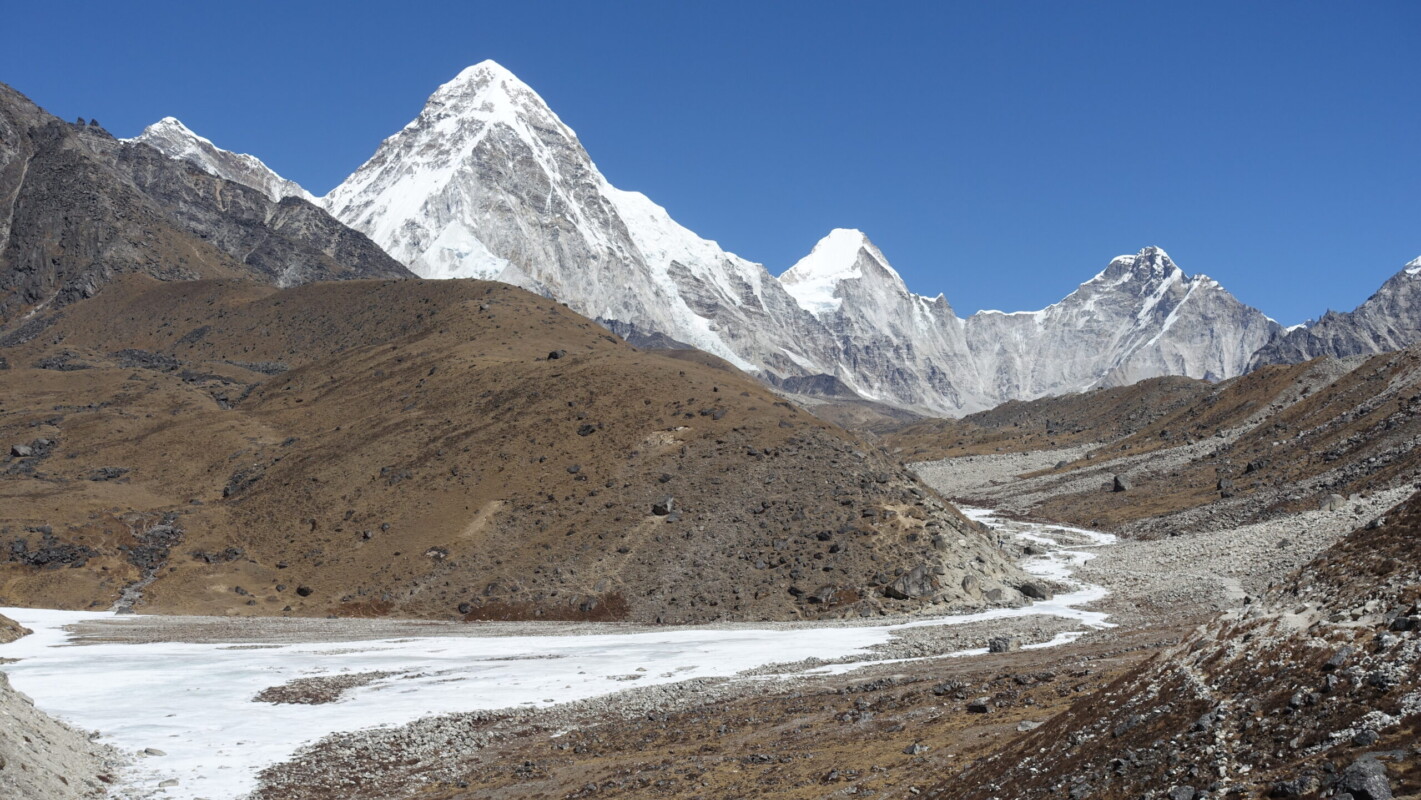
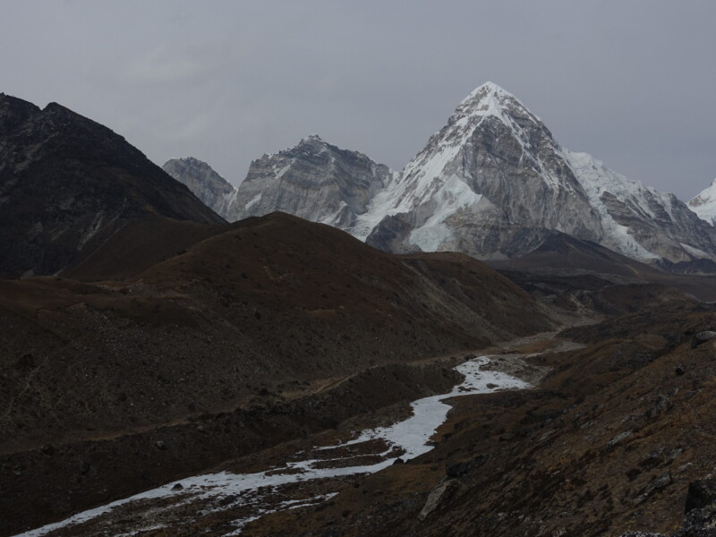
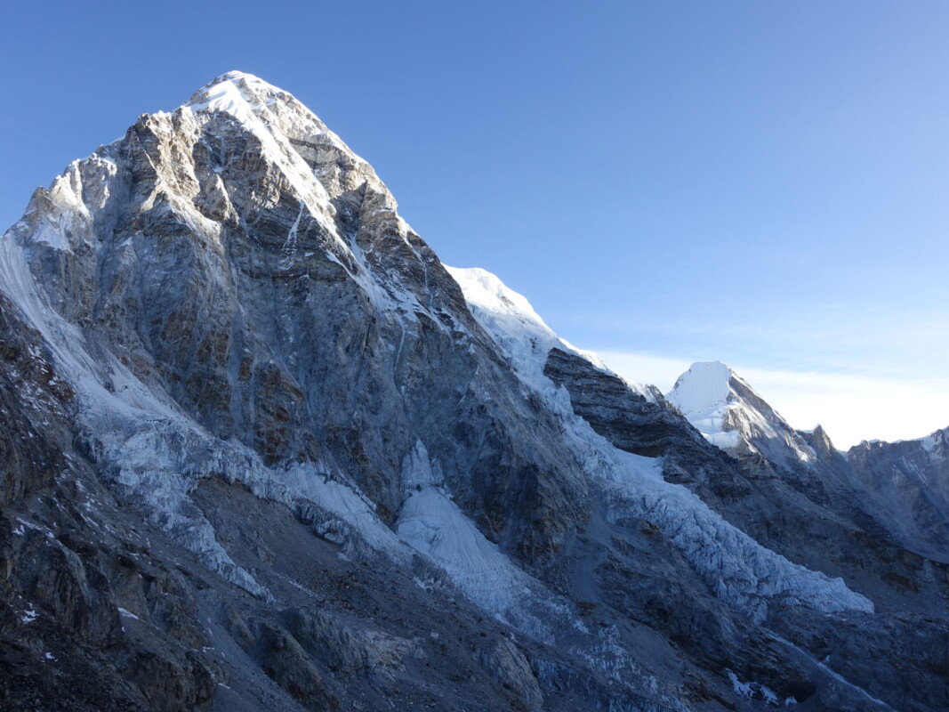
The already impressive views improved further after Thok La. As I approached the point where the Cho La trail meets, I was treated to my first views of Pumori (7161m) as I rounded the base of Nuptse. Despite an iconic profile, and featuring heavily in Khumbu marketing, Pumori gets very little attention and is only rarely climbed.
This afternoon’s walk was up the Khumbu Glacier moraine for views of Nuptse and Pumori. The cloud was rapidly moving up the valley, but it was a good taste of what was to come. Lobuche was the first of the high-altitude settlements I had heard so much about. They exist exclusively to service EBC and are unsurprisingly a distinct step down in quality. My only real complaint was that the dining hall was far too small for the number of rooms though. This problem was compounded by staff letting large groups reserve the tables that were already in extremely short supply.
Lobuche (4910m) – EBC (5364m) – Gorak Shep (5181m)
Sunday, 17 March
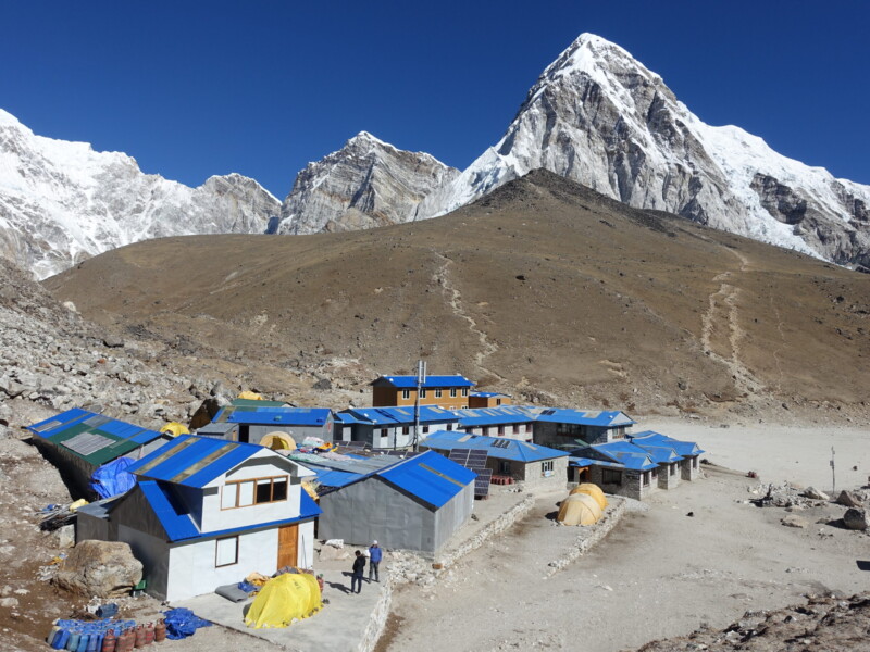
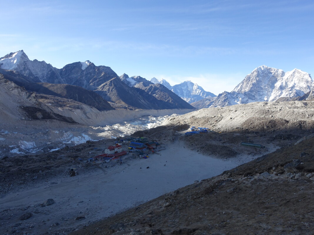
Departing Lobuche was a mess, with throngs of trekkers all funnelled into the same narrow track. Yak-trains bringing supplies to base-camp for the upcoming season only compounded the problem. I quickly regretted not suggesting an early start to beat the crowds. I fought all morning, slowly passing whenever possible and eventually I had pushed my way to the front of the queue. We arrived at Gorak Shep, precariously perched on the edge of Khumbu Glacier around mid-morning. Gorak Shep is… a shithole. Very literally. Much of the negativity I had heard was overhyped. And from descriptions, it has significantly improved over the decades.
With almost all trekkers choosing to eat lunch and rest before heading up to EBC, I opted to immediately depart. It was a little early for lunch anyway. With the decision to immediately proceed coupled with my earlier efforts, I had open trail all the way to basecamp!
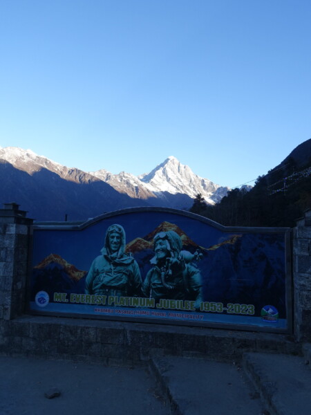
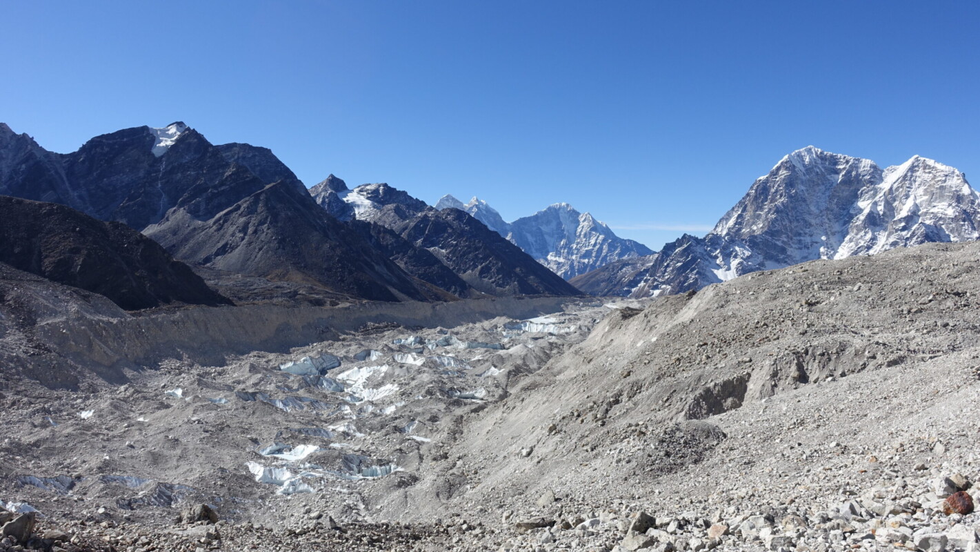
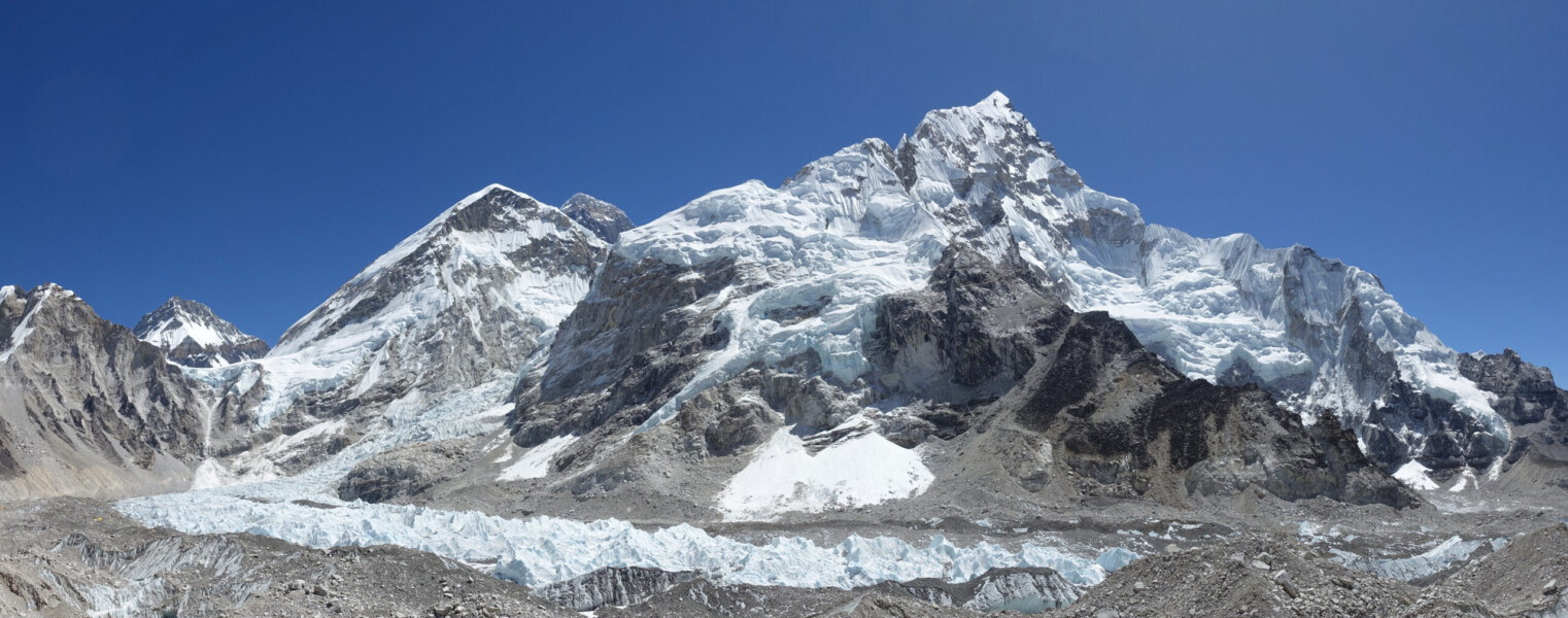
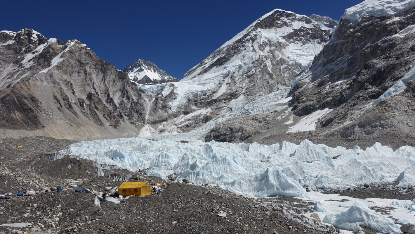
Views were spectacular the entire way. Hiking along the top of Khumbu Glacier’s moraine, in the shadow of Nuptse and with the towering pyramid of Pumori ahead. Even with no expectations, EBC itself was a disappointment though. Less than a month ago, the Nepali government had erected a sign in front of the famous rock. The change was not appreciated by anyone and I am unsure of the rational (edit, the sign only lasted two months before it ‘blew over’). More importantly, I was not able to get anywhere near Basecamp itself. Any number of rationales may be given, but the truth is almost certainly money. The Nepali government collects an additional fee to visit basecamp proper. Other basecamp treks do allow trekkers to mingle at basecamp. Some even allow them to progress toward an advanced basecamp (There is no advanced basecamp on Everest). EBC was never the reason I was there, but I would have been very disappointed if it had been.
Despite the questionable state of Gorak Shep and its teahouse, the evening was one of the best on the trip. Had a nice chat over dinner and met an Australian/Nepali girl who was scheduled to climb Island Peak the same day as me. She also told me about a friend who had been helicoptered off Kalapattar the previous day citing symptoms nearly identical to those I experienced on Gokyo Ri.
Seracs from the Khumu Icefall becoming the khumbu Glacier
Gorak Shep (5181m) – Dingboche (4410m)
Monday, 18 March
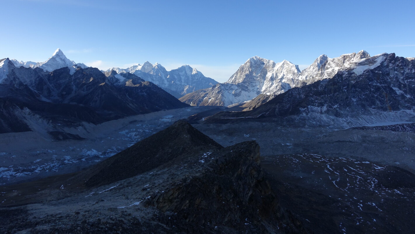
A 5:00 wake-up had me ascending Kalapattar (5545m) in hopes of sunrise views of both the full Everest Massif and down Khumbu Valley. Evening is the better time for this hike, but morning is more reliable with the Himalayan weather pattern. After the difficulties in Gokyo, I was hesitant to start too early. By pushing things back by an hour, I would ensure I would have light for some views regardless of whether I encountered difficulties or not. Fortunately the morning proceeded without incident. I had no problems with altitude. Despite the temperature being comparable to Gokyo Ri, it was also not an issue. This reaffirmed my belief that the extreme cold I felt in Gokyo was primarily down to my oxygen situation. I wish I had kept my the initial early start time. I had magnificent views, but the sun had risen too high behind the Everest Massif. At least this way the sunrise crowds were starting their decent as I was reaching the top.
I had heard that it is common for trekkers, particularly those on Classic EBC, to skip Kalapattar altogether. They are missing out on one of the best trekking views in Khumbu. I fully understand the hesitance for the sunrise ascent, and I can easily picture that many would be thoroughly exhausted after what for many would have been a mammoth of a day, all over 5000m. Not even attempting it seems a real shame though.
The afternoon was the definition of maintenance miles: backtracking to Dingboche whilst fighting the crowds. All with high winds and hazier visibility than the outward journey.
Dingboche (4410m) – Island Peak Camp (5240m)
Tuesday, 19 March
The morning started with confusion. I had the impression my [trekking] guide did not know how to handle the hand-off to the climbing sherpa. After breakfast, we started for Chukhung. There we met the sherpa and a kitcheck was finally performed. Unsurprisingly, the sherpa was unimpressed with my ‘well-loved’ XAlpine boots.
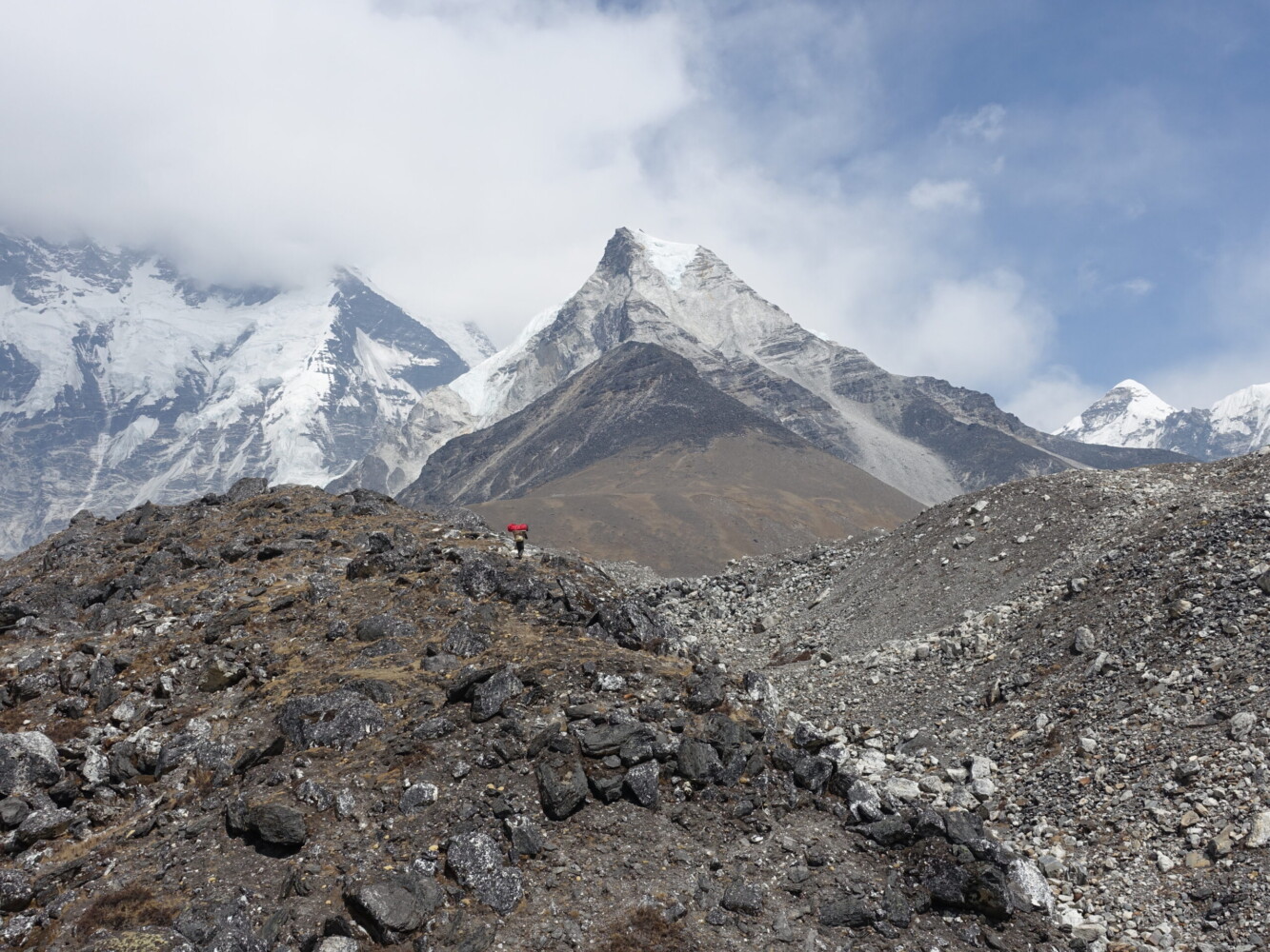
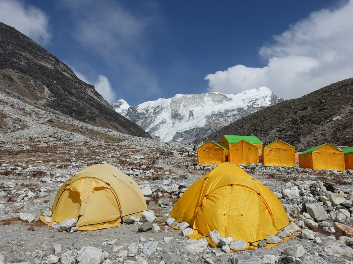
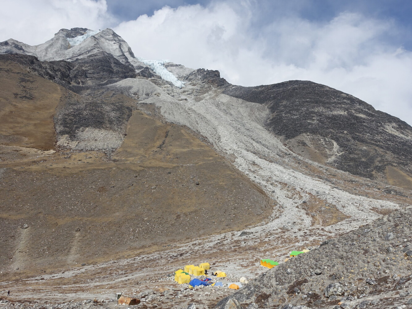
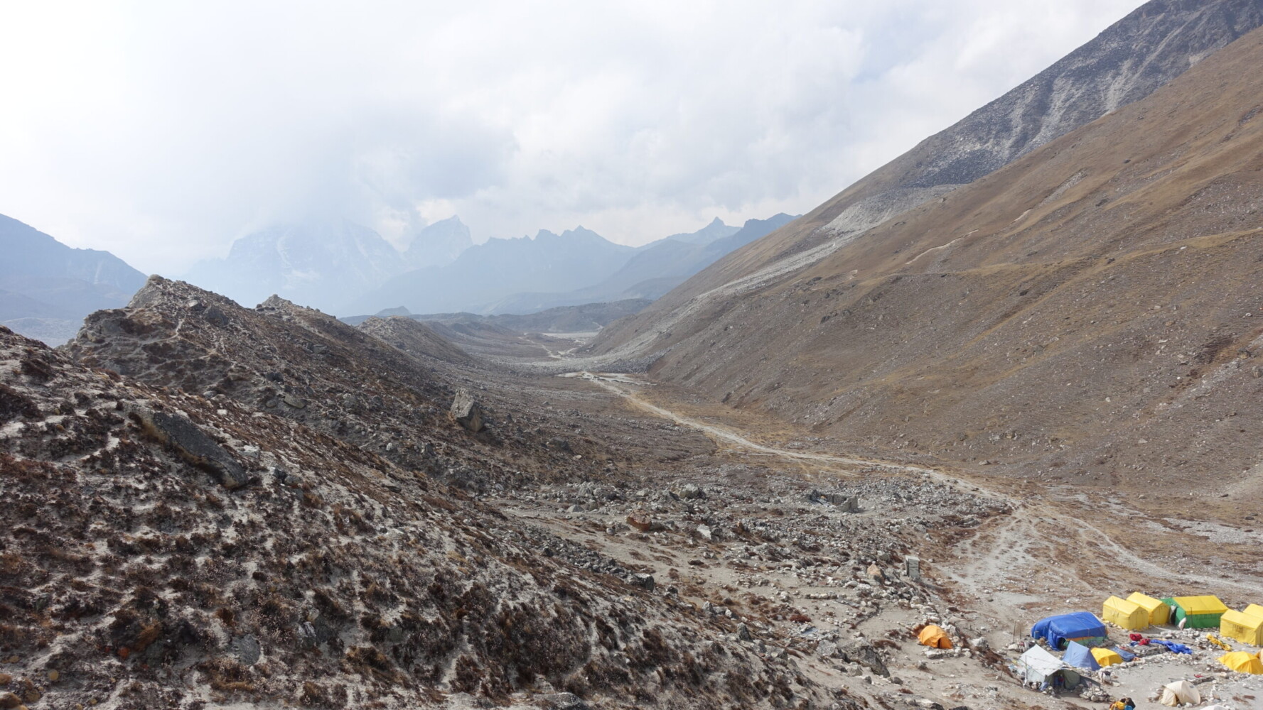
The trek in to basecamp was a section I was particularly excited for and it certainly did not disappoint! I was welcomed to basecamp with soup and all the hot drinks I could want. A very welcome change from the rest of my stops.
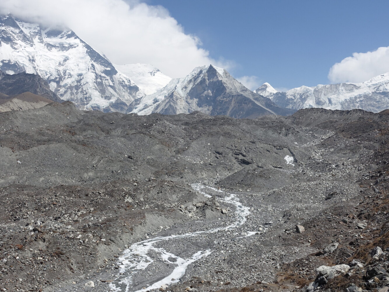
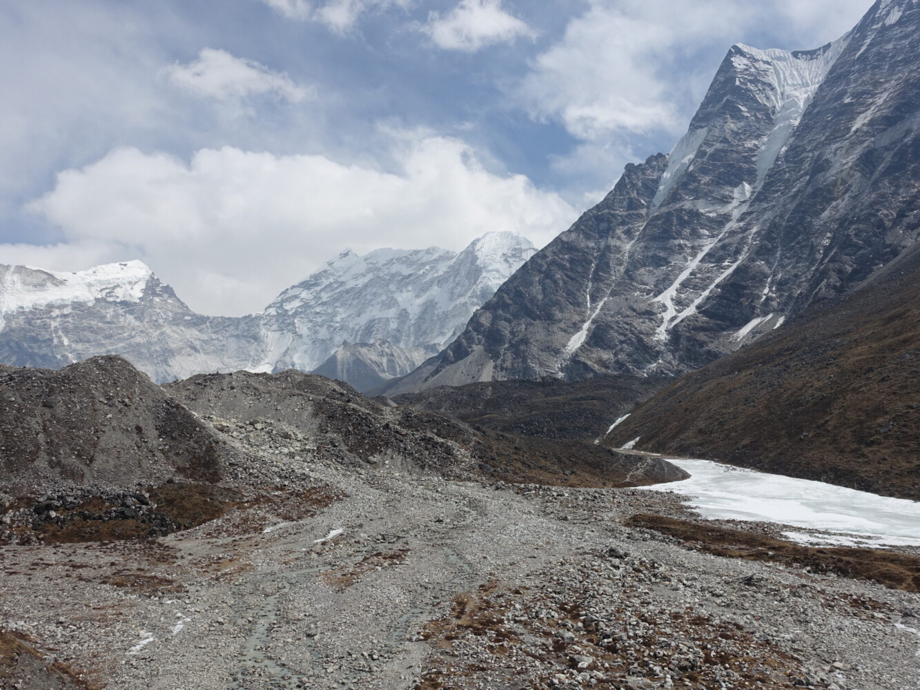
The trek to basecamp
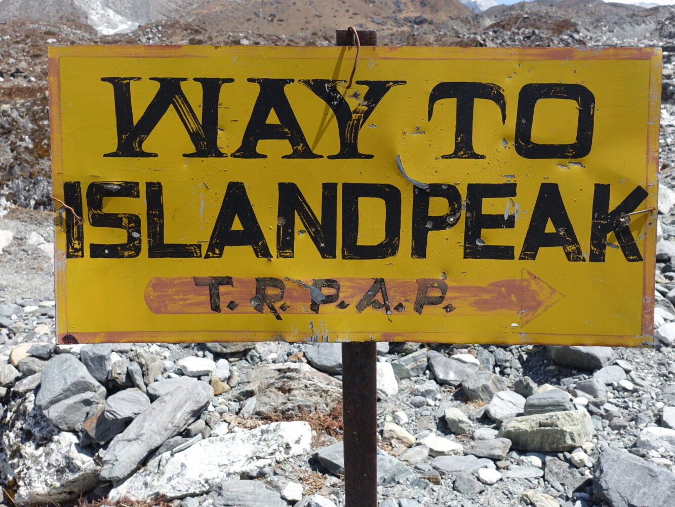
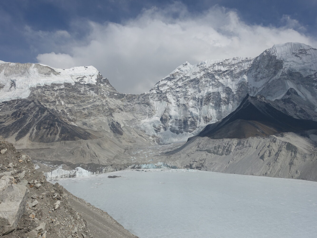
After lunch I took a short walk up the moraine to get overlook views of basecamp and Imja Tsha with its many glaciers. One of the requirements for a Trekking Peak permit is a short training session. This consisted of a quick recap of the basics of clipping in and out of fixed ropes and the use of both ascenders and descenders. It would definitely be a stretch to describe his English as proficient (as advertised), but you certainly couldn’t fault his enthusiasm. Given that I was comfortable with the technical grade, I was confident it would not be an issue.
Himalayan 6000m peaks generally involve an acclimatisation trek followed by a one or two day summit push. The term ‘basecamp’ is therefore a little misleading. True ‘basecamps’ aren’t necessary until 7000m peaks when climbers spend a considerable amount of down-time between acclimatisation rotations.
Island Peak Basecamp
With a 1:00 AM departure time, it would be a very early night. I retired to my tent as the first precipitation of the trip ominously began to fall.
Island Peak Summit Day (6189m)
Wednesday, 20 March
The combination of 5240m of altitude and the anticipation of a big climb meant I got very little sleep and had little trouble waking at 12:30 for ‘breakfast’. With light snow still falling, I was not given the option of using my reserve day and we departed for the climb just after 1:00. From basecamp it is ‘only’ a Munro: easy, right?
Little more than an extension of Lhotse-Shar with a bit of prominence, Island Peak is a safe mountain. In most years it has no real avalanche, rockfall, or icefall risk. There are several substantial crevasses, but they are easy to navigate. In Nepal it is classified as a ‘trekking peak’ but this classification primarily refers to the amount of red-tape required (compared to an ‘expedition peak’) rather than difficulty. Western companies require previous experience with Winter Grade II or Alpine PD. Regardless of technical difficulty, the altitude creates it’s own complications.
Early stages of the climb are non-technical hike mixed with the occasional light-scramble. On the first of these, my sherpa tried to guide me up by holding my hand. Fortunately I was able to quickly put a stop to this. As dawn approached, we reached the crampon point at approximately 5800m. From here out, we would be roped-up for the glaciers. There had been very little snow this winter in the Himalaya and that really showed with a lot of very exposed ice.
Classic summit views…
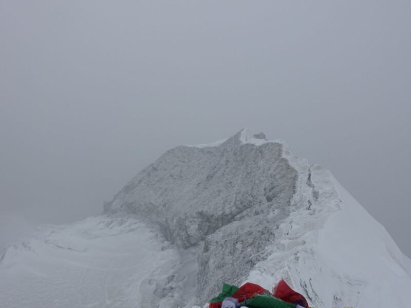
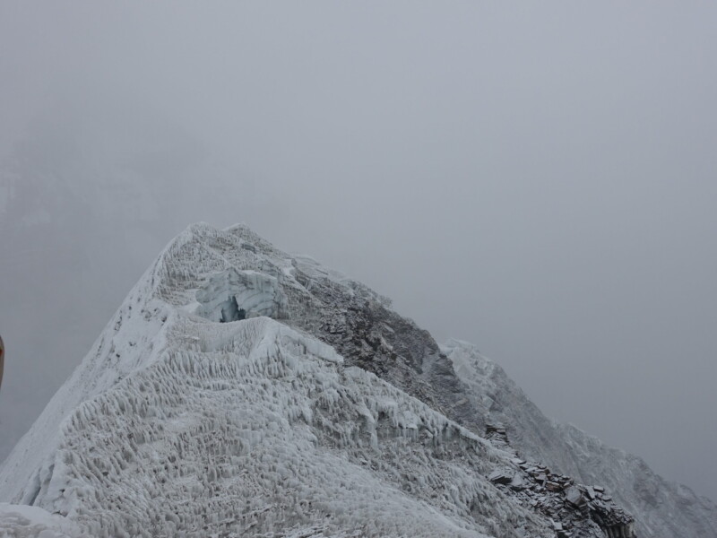
After traversing a crevasse-field with some intermittent climbs, we reached the large glacial plateau in front of an imposing headwall. Crossing the bergschrund, which sadly no longer required the use of ladders, it was a little over 100 vertical meters climbing at 45degrees to reach the exposed summit ridge. Before long, I was the first summit of the day! Any of my other days in Khumbu and there would I would have had stunning views. Sadly the ceiling had only dropped since sunrise and I was fully in the clouds.
It was a very long way back to Dingboche. I was able to meet back up with my friend from Gorak Shep in Chokkhung though. Apparently 7Summits gives more flexibility (they do cost more) and she had pushed her climb back by two days.
Edit: I would later read that 2024 was a bit of a rough year for Island Peak. There were several accidents relating to rockfall and the headwall became more of an excercise in mixed climbing than usual, increasing the difficulty.
Dingboche (4410m) – Lukla (2850m)
Thursday, 21 March – Sunday, 24 March
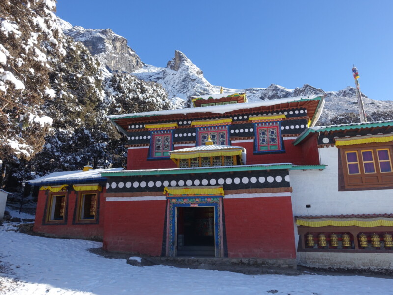
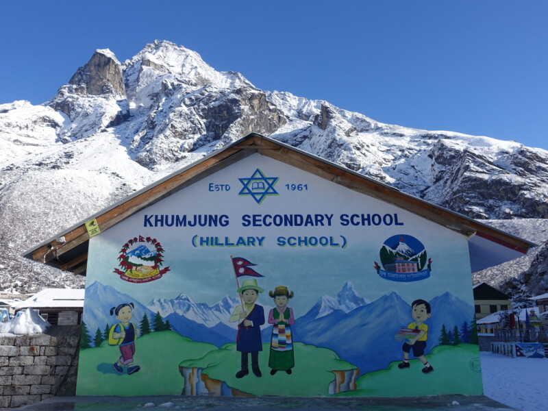
Ultimately, the fact that I was not offered the use of my contingency day was irrelevant. The next morning I awoke to continuing snow and even more fog. With that, we started the decent out of the mountains on what would be a real slog of a day. My guide suggested deviating from the itinerary to sleep in Khumjung, Hillary’s favourite village and home to a ‘yeti scalp’, rather than returning to Namche.
Because my contingency day was never used, I was offered the chance to change my Lukla flights for one day earlier. After a considerable amount of thought, I opted for this option with the logic that it would provide a little more buffer in the event of flight delays.
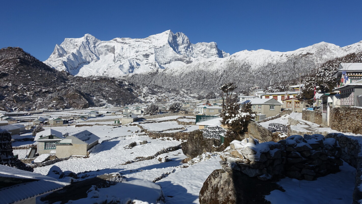
The next morning, the fog and snow cleared leaving me considerably more positive. With clear skies, Khumjung was actually quite a striking settlement! the fresh layer of snow certainly didn’t hurt the matter. And neither did the friendly hum of turboprop engines, indicating that Lukla was back operational. I felt considerably more upbeat as we descended to Lukla. The combination of the start of high-season and a period of 48 hours without flights meant that I would be meeting hoards of very large trekking groups on the lower reaches of the trail. Why anyone would want to hike in a group of that size is beyond me.
A fresh look for Namche after the snow
This time, the threatening pre-flight weather forecast proved more accurate. Only a few hours after arriving in Lukla, heavy rain began. The teahouse was in a very celebratory mood despite this and the alcohol was flowing for many. Having gone vegetarian for sanitation reasons, I never did get my yak-steak. It was not on the menu in Lukla, which would be my last chance.
I slept very poorly, hearing the continued rain every time I woke. By morning, the rain had ended but low cloud persisted. There was a brief window of hope as the cloud started to lift. Just like in life, that hope was quickly crushed. It would be in for a boring and stressful day. At least there was [extremely weak] WiFi for the first time in weeks.
The weather cleared the next morning, saving me the lengthy and unpleasant overland journey. Given a full day of no flights, Kathmandu was swapped for Rammechhap. This would mean a four hour drive to reach the hotel, but it also meant flights could be operated far more rapidly. Kathmandu has only one runway and traffic creates significant a bottleneck. As inefficient as Nepal is, they do an excellent job of getting those flights turned around when they have to.
Lukla departure terminal is a circus. I’m also sure we do the pilot’s confidence a world of good by boarding the aircraft wearing helmets and harnesses (it’s a Dornier, not a Boeing. Then again, Claude Dornier is the engineer who decided to mount a flamethrower on the back of an aircraft).
Departure
Monday, 25 March – Wednesday, 27 March
It was nice to finally be back to the hotel. While fancier than I would typically go for, a little comfort is always appreciated after time out in the hills and Nepali prices are affordable.
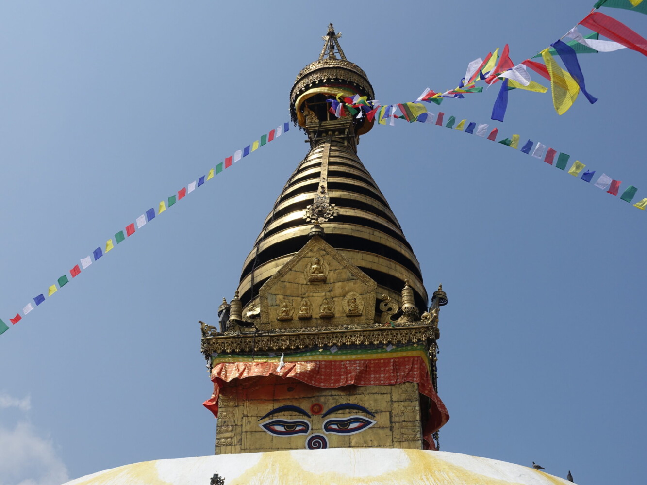
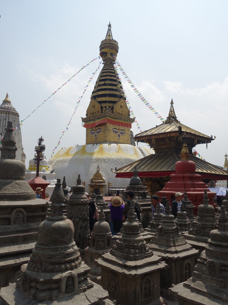
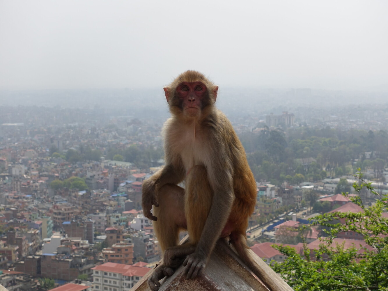
I had one full day in Kathmandu to atone for not managing to experience much of the city on my way in. Unfortunately, the notorious haze had descended. There are two main temples and a handful of interesting museums that I was keen to see. sadly, they are scattered across the massive and chaotic city. I was unwilling to interact with the scammy taxi services, but was less than comfortable navigating the mess of unnamed streets given that my old phone was struggling to find a GPS location. The ‘Monkey Temple’ is both the most iconic, and the closest, so I made that my priority. It was a hot and chaotic walk, but I made it!
Unfortunately, my departure would marred by a nasty stomach bug I picked up on my final day. I blame the vegetarian restaurant I was eating at, but it is also possible I picked it up whilst brushing my teeth or showering.
My outbound flights were more favourable than the inbound ones. I only had four hours in Dubai. Just the right amount of time to avoid stress, even with Nepali timekeeping. It was a shock to see the literal mountain of paperwork Nepali citizens require to leave their country during check-in.
Afterwards
Overall I enjoyed my first experience outside the western world and my first taste of high-altitude climbing/trekking. Given the high cost (by my standards), things had to go nearly perfectly for me to be completely happy with the experience. I need more time for the pain of completely missing Gokyo Ri and Cho La along with views from Island Peak to subside. Perspective is important though. There were always going to be disruptions over twenty-two days. I accomplished the vast majority of my goals and successfully climbed my first 6000m peak, no small accomplishment. I gained considerable experience with altitude, how to properly acclimatise, and how to read the ambiguous symptoms of the related medical problems. Further reflection is required before I commit to any similar expeditions in the future though:
- More thought is required to my future climbing aspirations. Are sustained Winter Grade III climbs worth pursing, or is Grade II/II+ my happy place?
- Trekking priorities need reassessment when considering the practicalities of acclimatisation and altitude. I dislike ‘wasting’ days on acclimatisation and find the slower pace of movement at altitude frustrating.
- Climbing in the Himalaya is very different to western mountaineering. Fixed ropes are the norm and Sherpas will literally drag you to the top if you let them
- Commercialised trekking routes are not my style, regardless of how I personally undertake them. I do not regret doing Everest, but I should be wary of this type of travel in the future
- Experiencing new destinations is rewarding and can expand horizons but it is easy to get carried away chasing passport stamps. It is often better to further explore known destinations. There is always more to climb.
With the likes of Nevado Pisco (Cordillera Blanca, Peru), Mount Khuiten (Altai Range, Mongolia), K2/Broad Peak Basecamp (Karakoram, Pakistan), and many more realistic targets, it is difficult not to start plotting future endeavours. Maybe someday I could even scrape the funds for a Spantik Expedition (Karakoram, Pakistan). First I need to take a few years to settle in Holland and rebuild the travelfund. If high-altitude (over 6000m) mountaineering is something I want to pursue further, my kit definitely also needs to be expanded.
Footnote
All photos are exclusive property and may not be copied, downloaded, reproduced, manipulated or used in any way without permission of the photographer.
